The Grand Traverse Map
       
     
The Grand Traverse day-by-day
       
     
The Grand Traverse elevation chart
       
     
Bennett’s Bluff / Millionaire’s View
       
     
Starting the Tramp
       
     
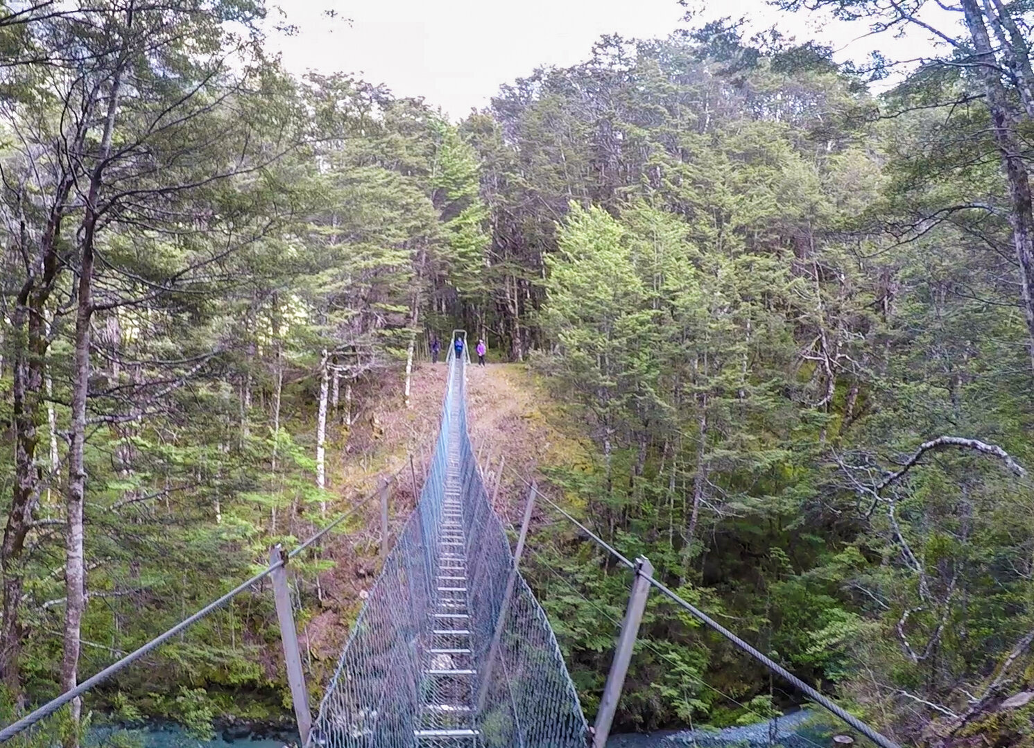
First bridge
       
     
First of many suspended bridges
       
     
The Greenstone valley
       
     
Following the track
       
     
Grand Traverse-10.jpg
       
     
The Greenstone valley
       
     
Grand Traverse-11.jpg
       
     
Grand Traverse-12.jpg
       
     
River crossings
       
     
Arriving at Steele Creek Lodge
       
     
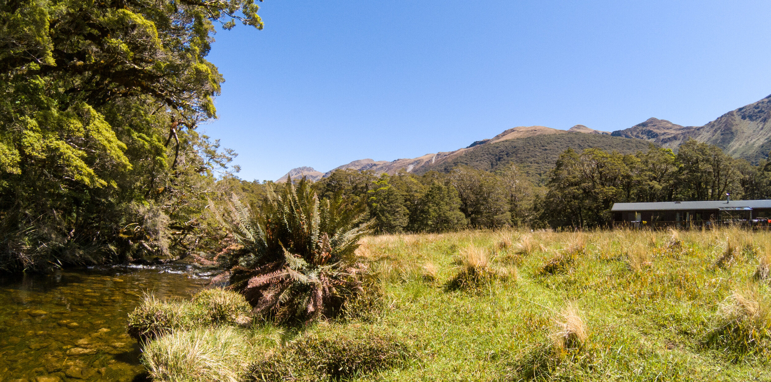
View from the lodge
       
     
Steele Creek Lodge
       
     
End of day 1
       
     
Day 2 - leaving Steele Creek Lodge
       
     
One person bridge
       
     
This one had a good bounce
       
     
Following the river again
       
     
Crossing blackened landslips
       
     
The glacial valley
       
     
Goblin forest
       
     
Grand Traverse 2-2.jpg
       
     
Crossing dry a riverbed
       
     
Arriving at Mckellar
       
     
and relax...
       
     
Mckellar Lodge
       
     
Mckellar Lodge
       
     
Day 3 - rest day
       
     
Breaking the tree line
       
     
The Lookout
       
     
Lake Mckellar
       
     
Greenstone Track
       
     
Grand Traverse-34.jpg
       
     
The Lookout
       
     
The Lookout
       
     
Panoramic view
       
     
Descending through the forest
       
     
Mckellar Lodge
       
     
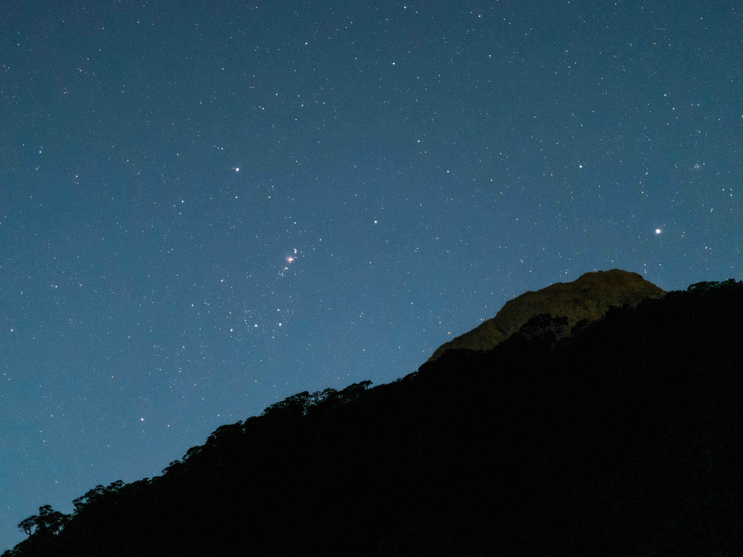
Southern skies - Orion
       
     
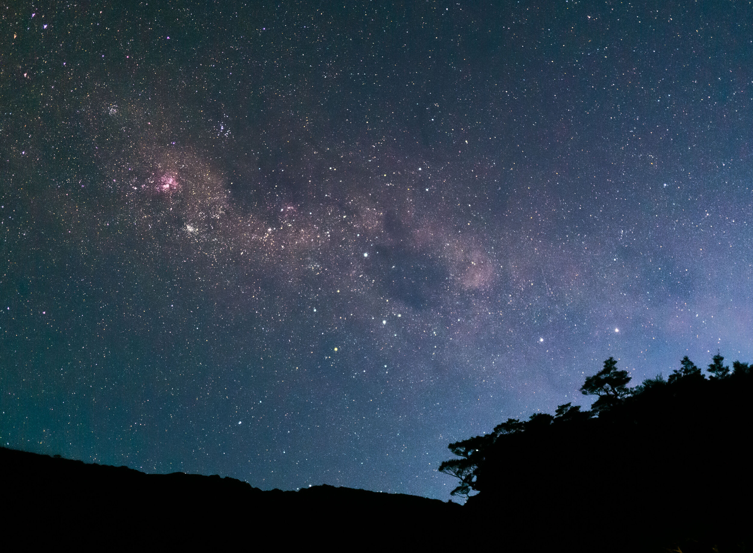
Southern skies
       
     
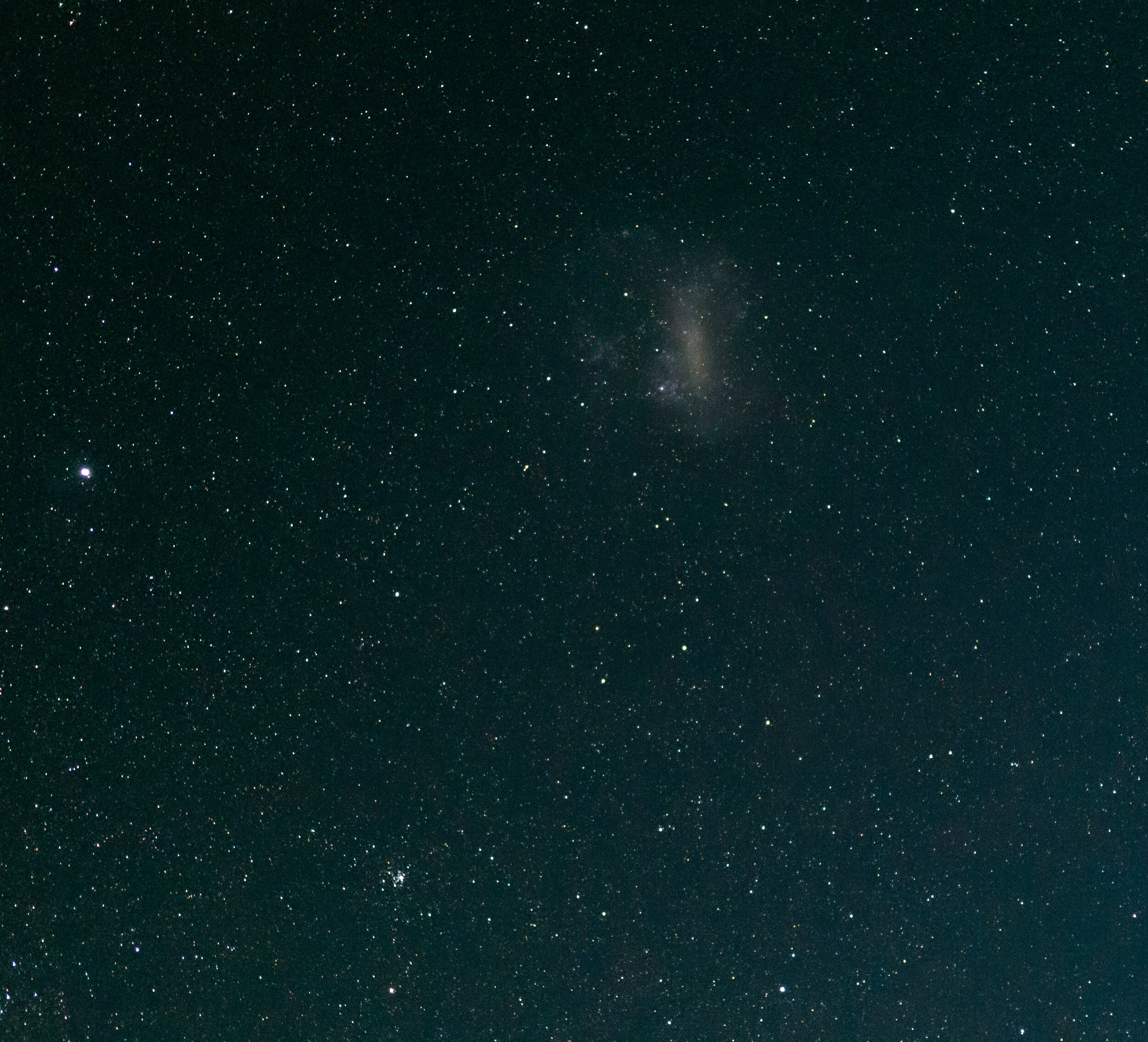
Southern skies
       
     
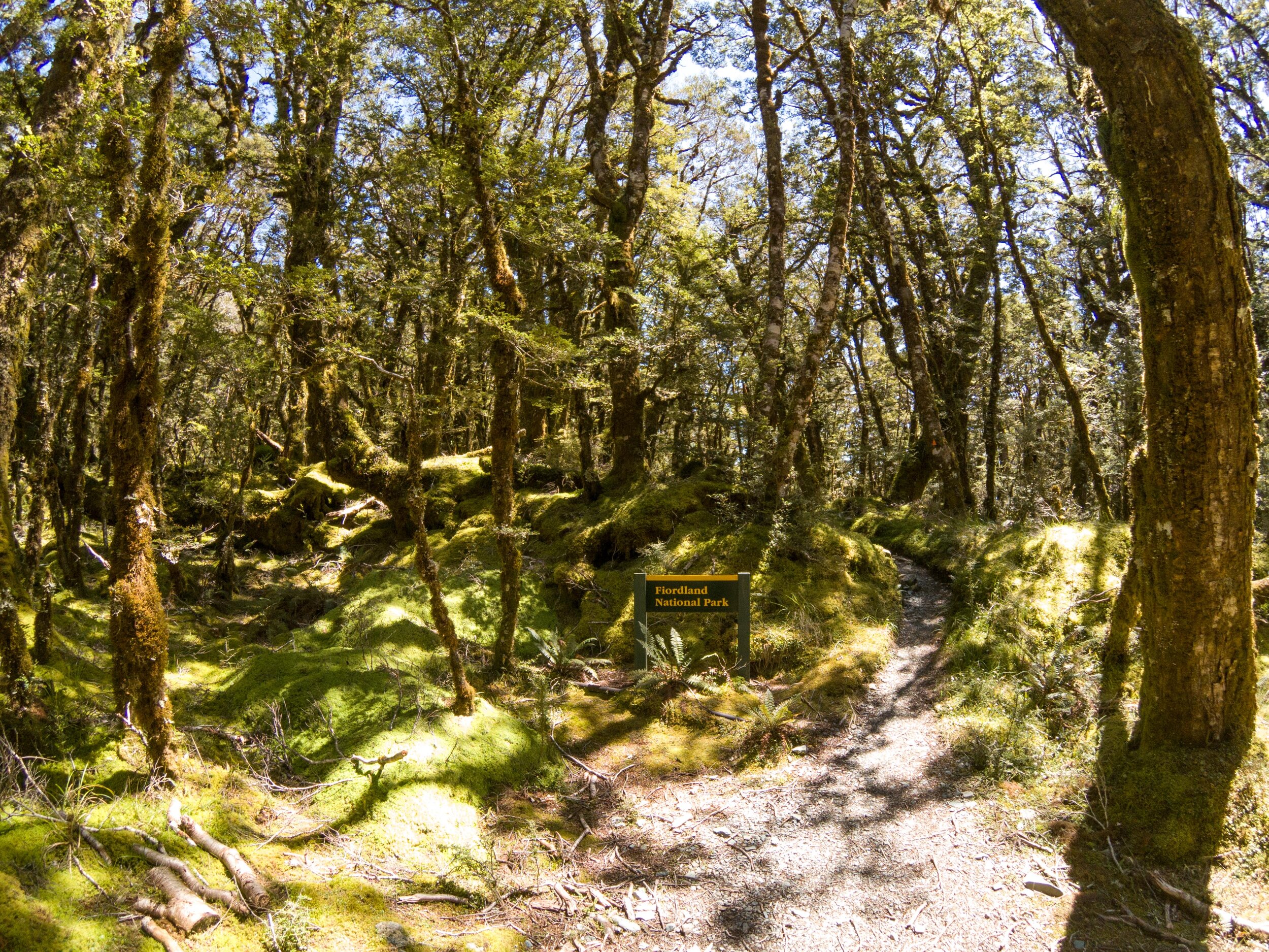
Day 4 - into Fiordland
       
     
National Park
       
     
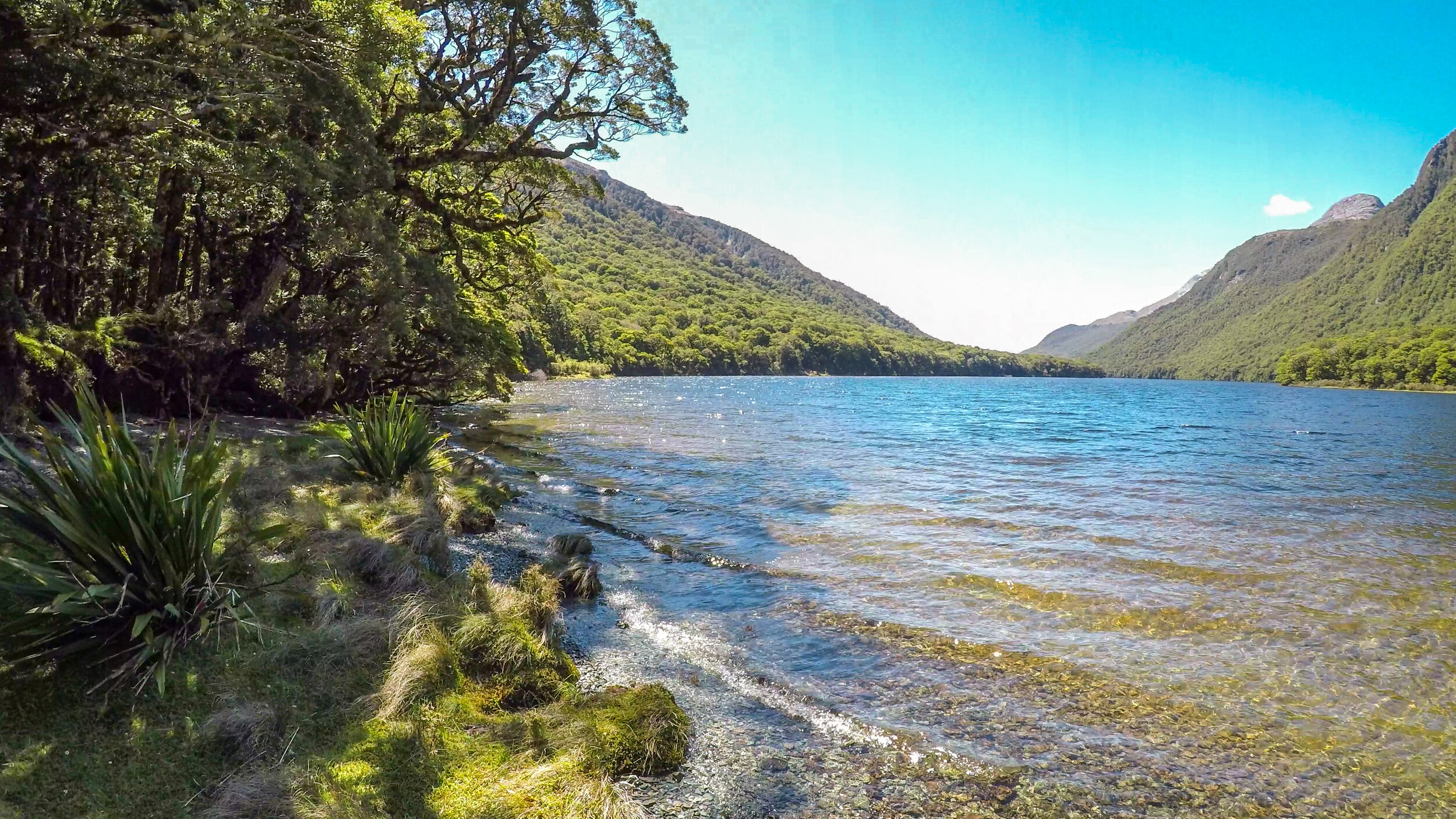
Lake Mckellar
       
     
Gentle rise to Howden Hut
       
     
Top of Lake Mckellar
       
     
Offshoot to Key Summit
       
     
Key Summit
       
     
Key Summit
       
     
Lake Marian
       
     
Hollyford Valley
       
     
Key Summit
       
     
Nature trail
       
     
Looking down the Hollyford Valley
       
     
Lake Howden
       
     
Up through the forest
       
     
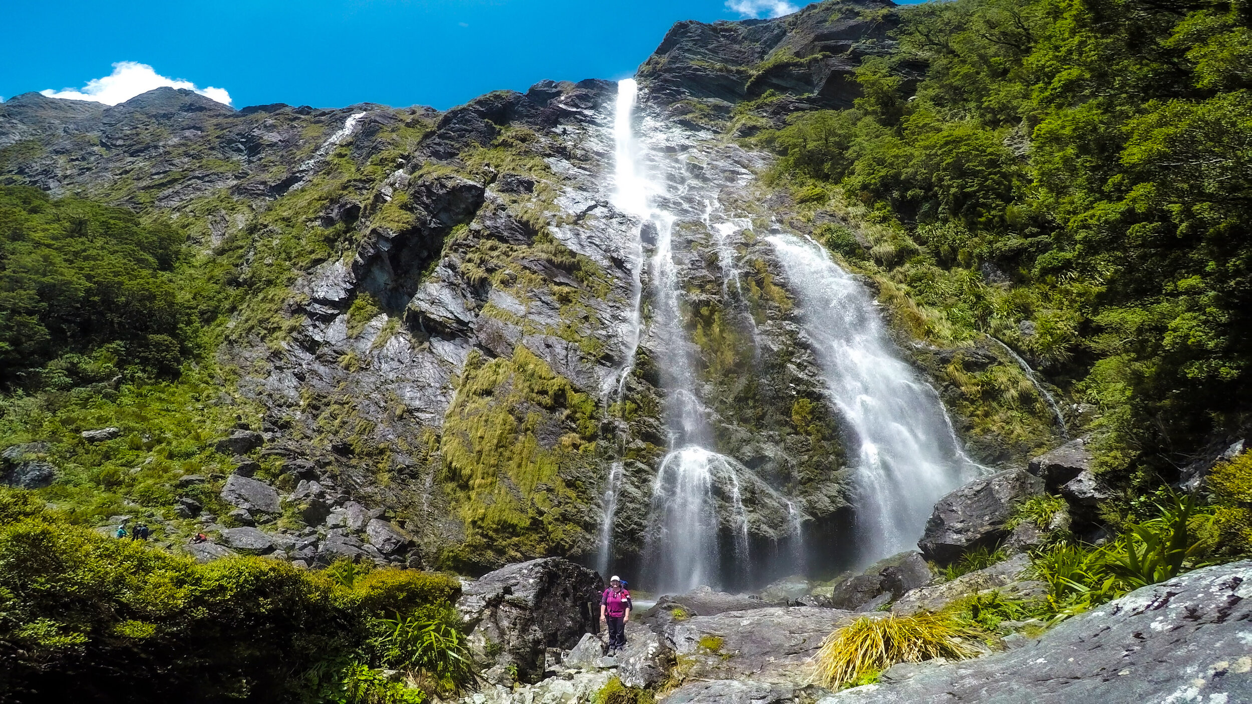
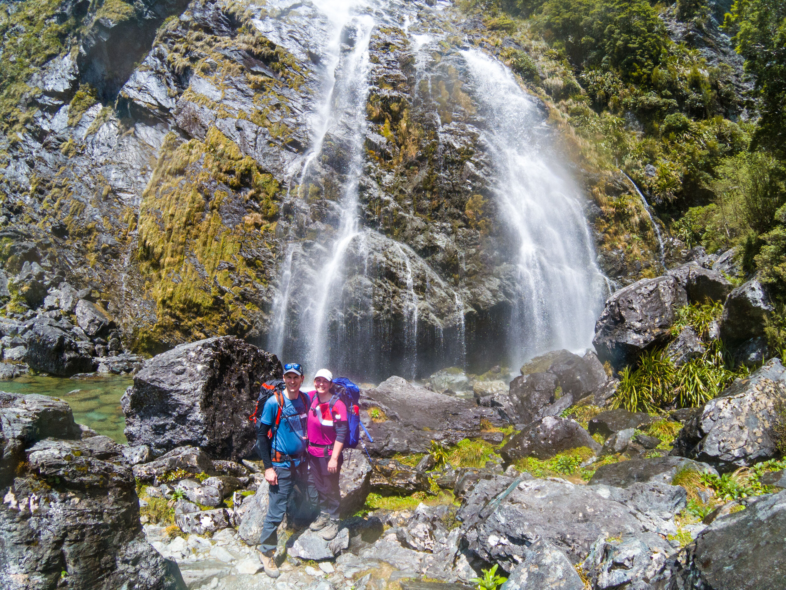
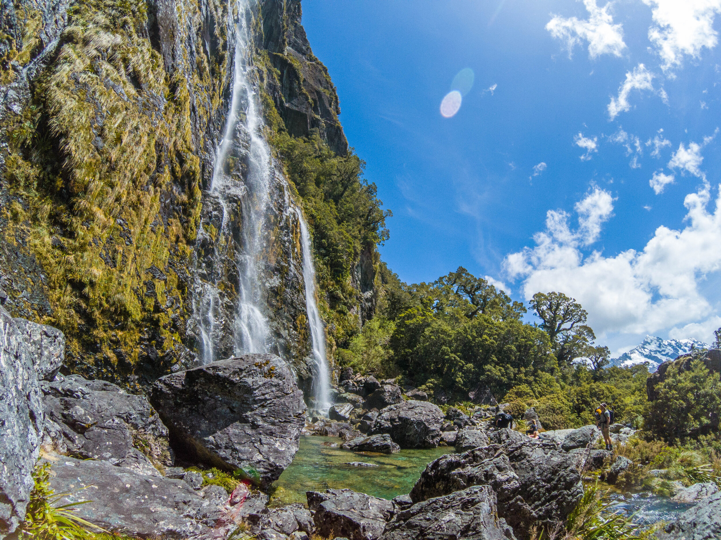
Earland Falls
       
     
Earland Falls
       
     
Earland Falls
       
     
Earland Falls
       
     
Earland Falls - snack break
       
     
Snow capped peaks of the Darran Mountains
       
     
The Orchard
       
     
The Orchard
       
     
Steep and uneven descent to Mackenzie
       
     
Beech forest
       
     
First sight of Mackenzie Lodge
       
     
Mackenzie Lodge
       
     
Mackenzie Lodge
       
     
Mackenzie Lodge
       
     
Fuel
       
     
Christmas Eve meal
       
     
Main social space
       
     
Mackenzie Lodge
       
     
Day 5 - Christmas Day
       
     
Christmas Day by Lake Mackenzie
       
     
Christmas Day by Lake Mackenzie
       
     
Climbing up, looking back on Mackenzie
       
     
Mackenzie lodges
       
     
Lake Mackenzie
       
     
Grand Traverse 2-14.jpg
       
     
Ocean View Corner
       
     
Ocean View Corner
       
     
Traversing the mountains
       
     
The Hollyford Valley
       
     
Harris Shelter
       
     
Harris Saddle from Conical Hill
       
     
Overlooking Lake Harris
       
     
Lake Harris
       
     
Conical Hill
       
     
Top of Conical Hill
       
     
Heading to Routeburn Falls
       
     
Lake Harris
       
     
Lake Harris
       
     
Lake Harris
       
     
Lake Harris
       
     
Christmas Day afternoon
       
     
Approaching Routeburn Falls
       
     
Routeburn Falls
       
     
Routeburn Falls guided walkers lodge
       
     
Day 6 - breakfast
       
     
Final day
       
     
Downhill through the forest
       
     
Routeburn Flats
       
     
Routeburn Flats Hut
       
     
NZ is famous for its many fern species
       
     
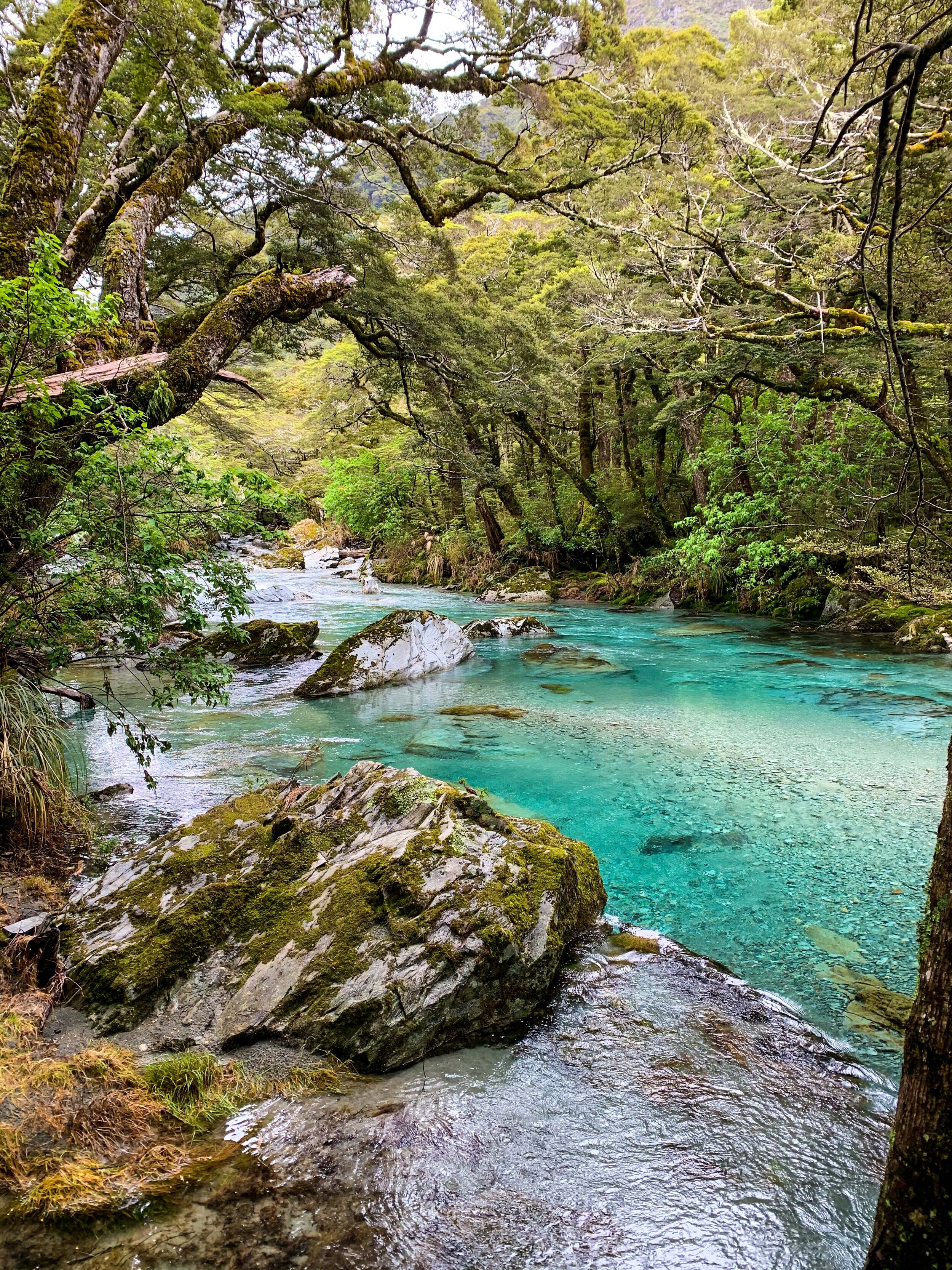
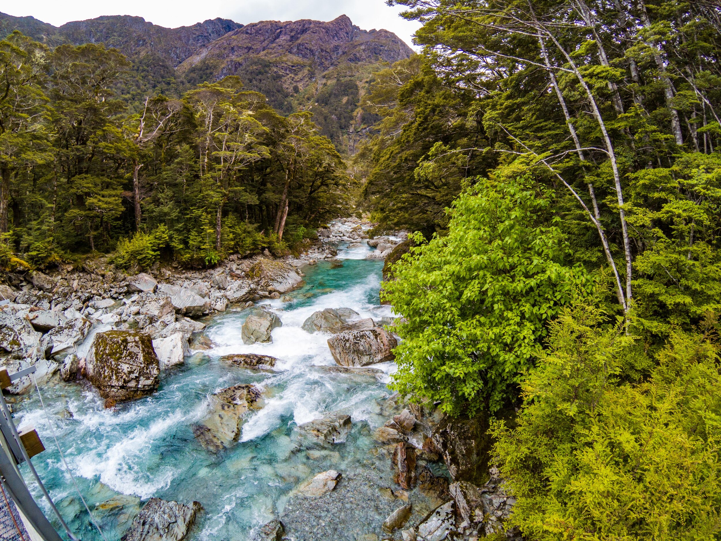
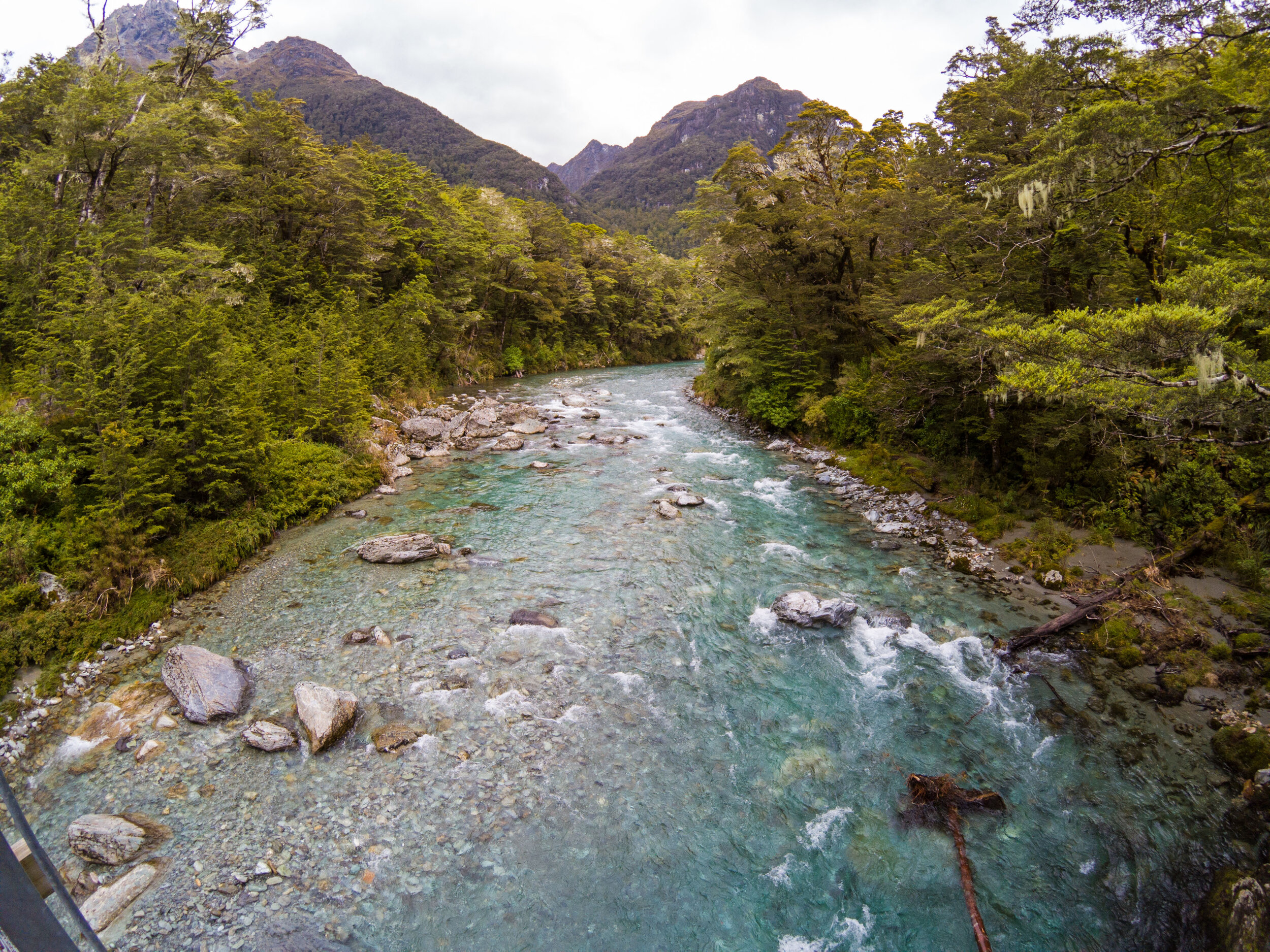
Now following the crystal blue river
       
     
The Routeburn River
       
     
The Routeburn River
       
     
Lunch stop
       
     
Matt takes a dip
       
     
Clear glacial waters
       
     
Our Singaporean friends
       
     
Final push
       
     
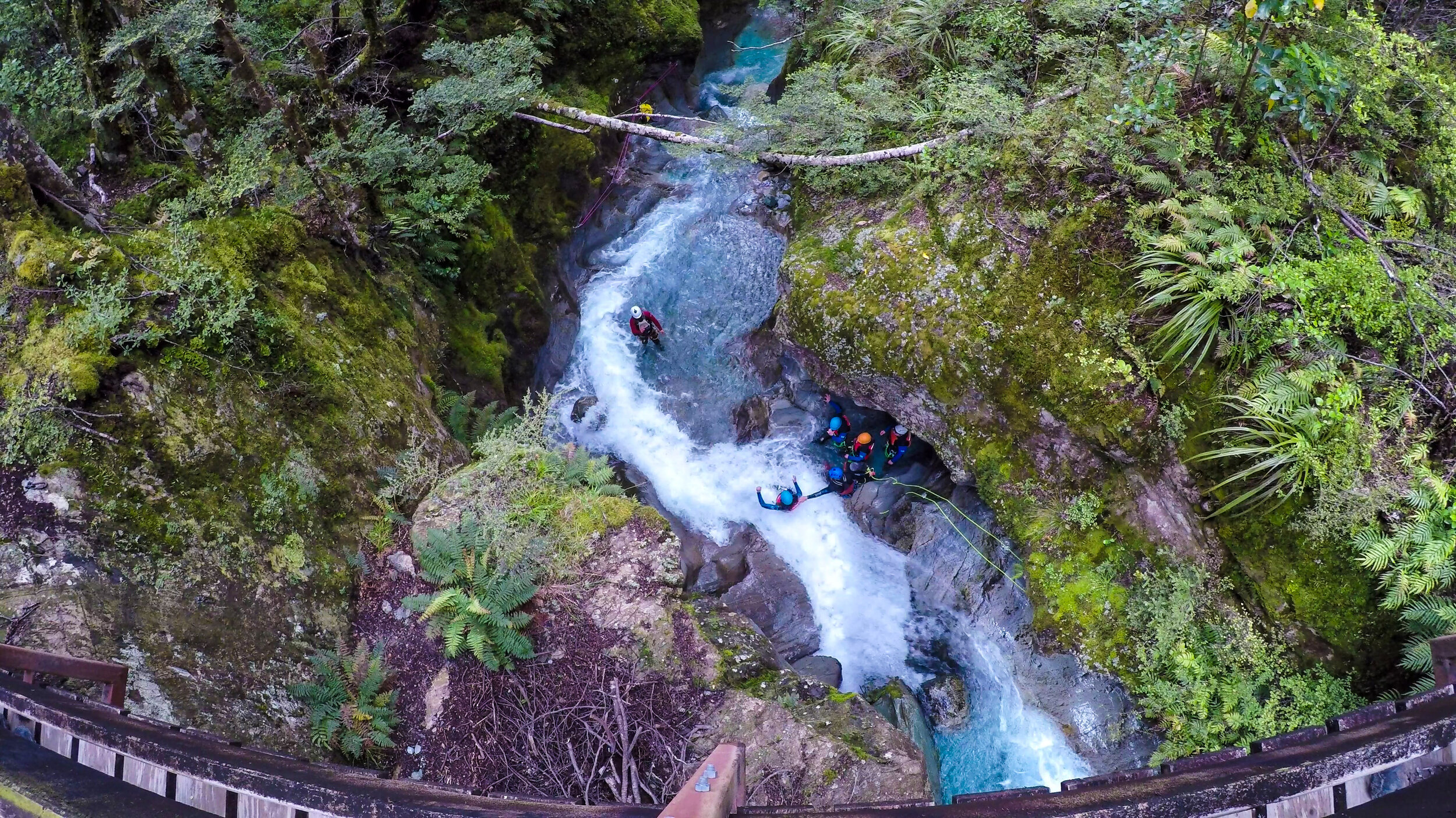
Group doing canyoning below
       
     
Nature walk
       
     
The final bridge
       
     
The final bridge
       
     
Grand Traverse completed!
       
     
End
       
     
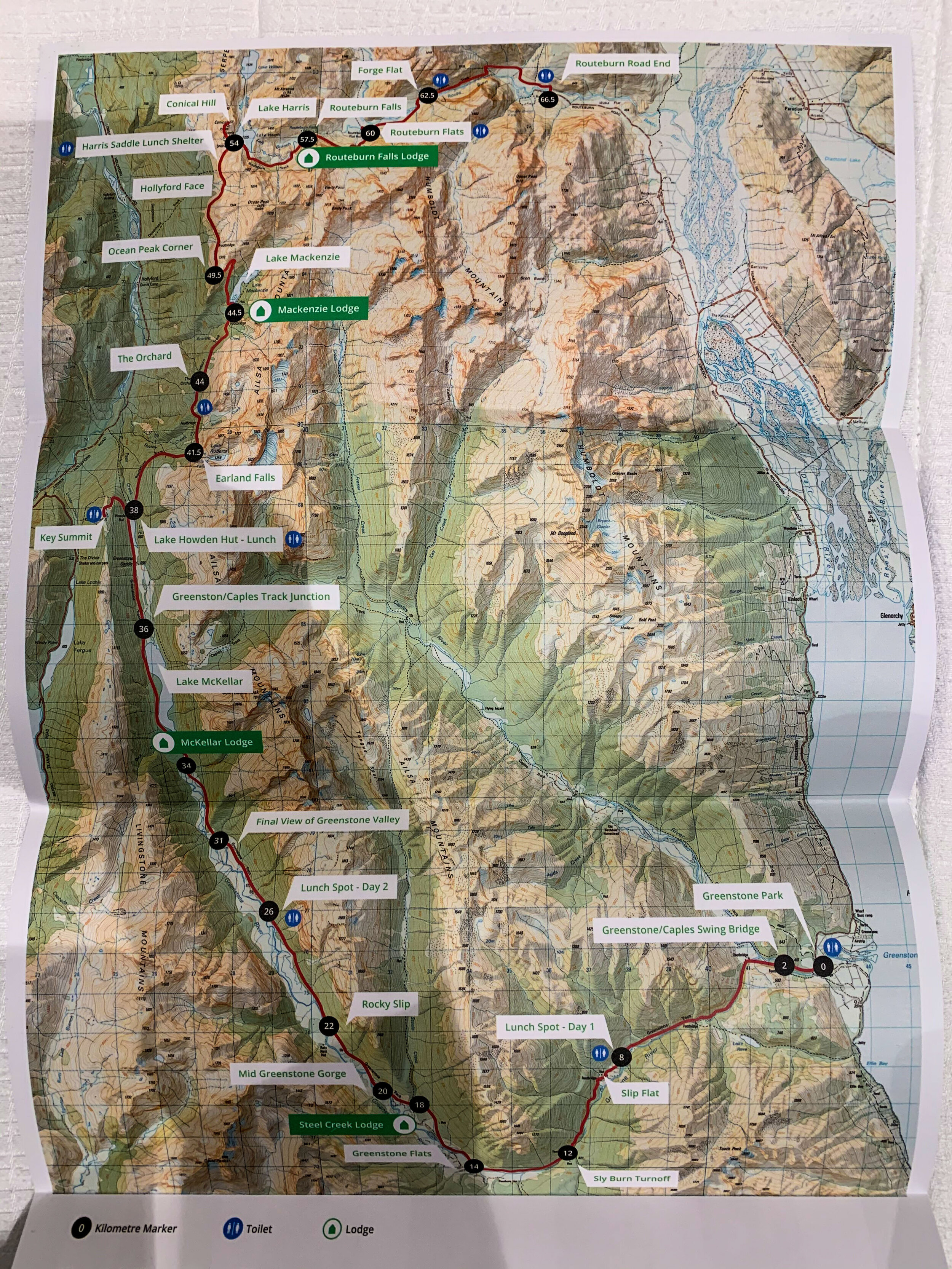
The Grand Traverse Map
       
     
The Grand Traverse Map

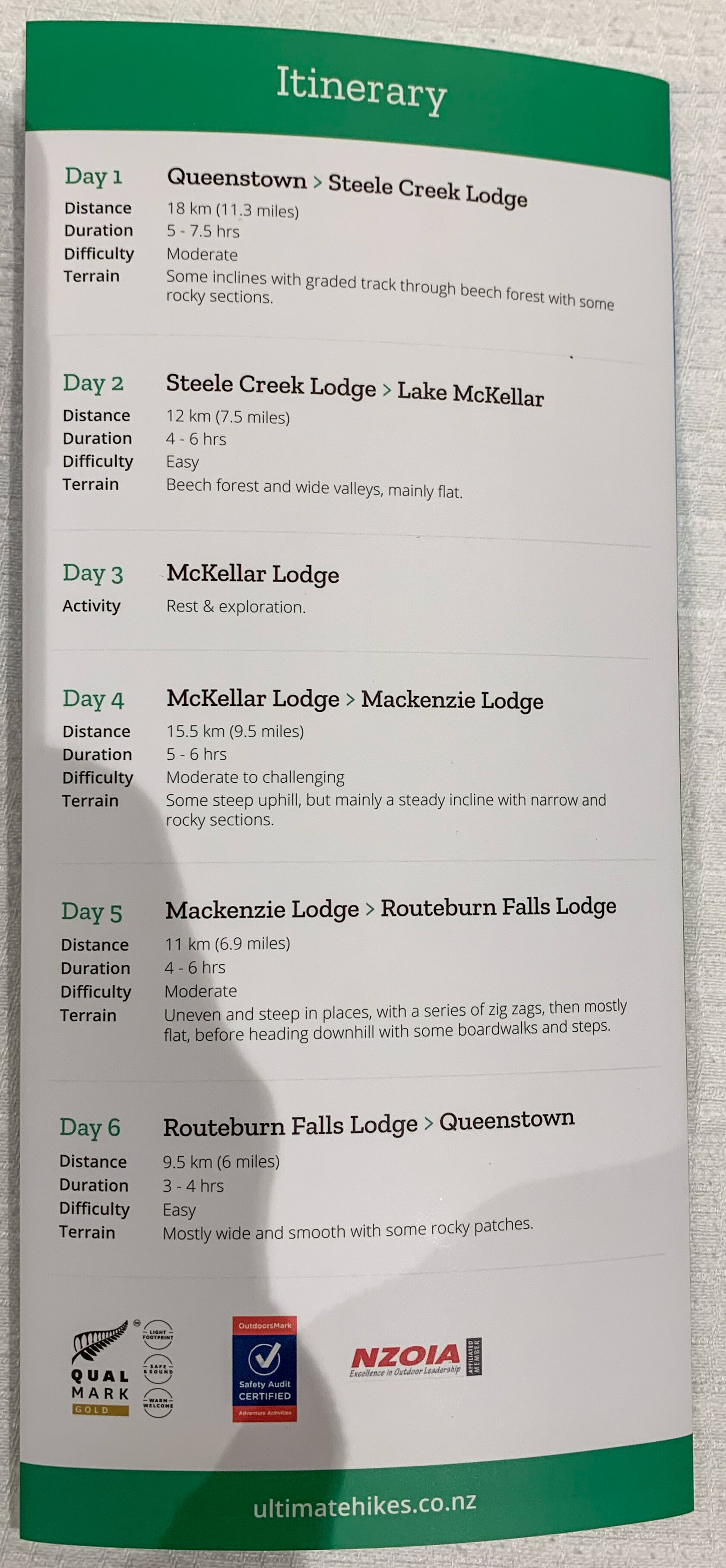
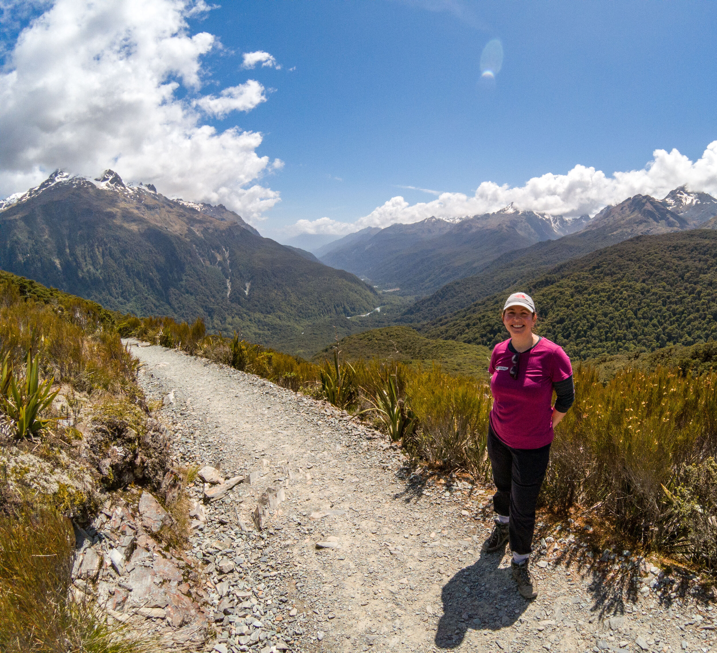
The first two days cover the Greenstone, followed by a rest day. Then on day 4 we join the Routeburn with an extra group and the group we all walk the last 3 days together. We planned our trip over Christmas with day 5 (our favourite day from the Routeburn in 2007) falling on Christmas Day.

The Grand Traverse day-by-day
       
     
The Grand Traverse day-by-day
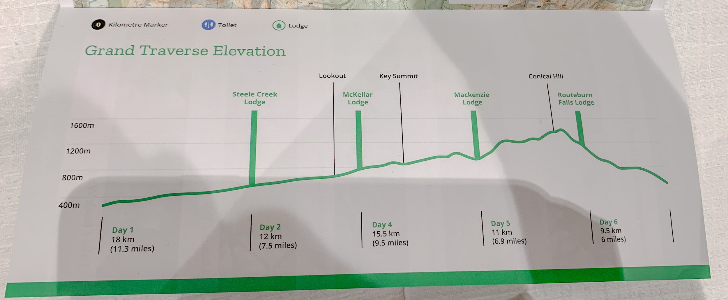
The Grand Traverse elevation chart
       
     
The Grand Traverse elevation chart
Bennett’s Bluff / Millionaire’s View
       
     
Bennett’s Bluff / Millionaire’s View

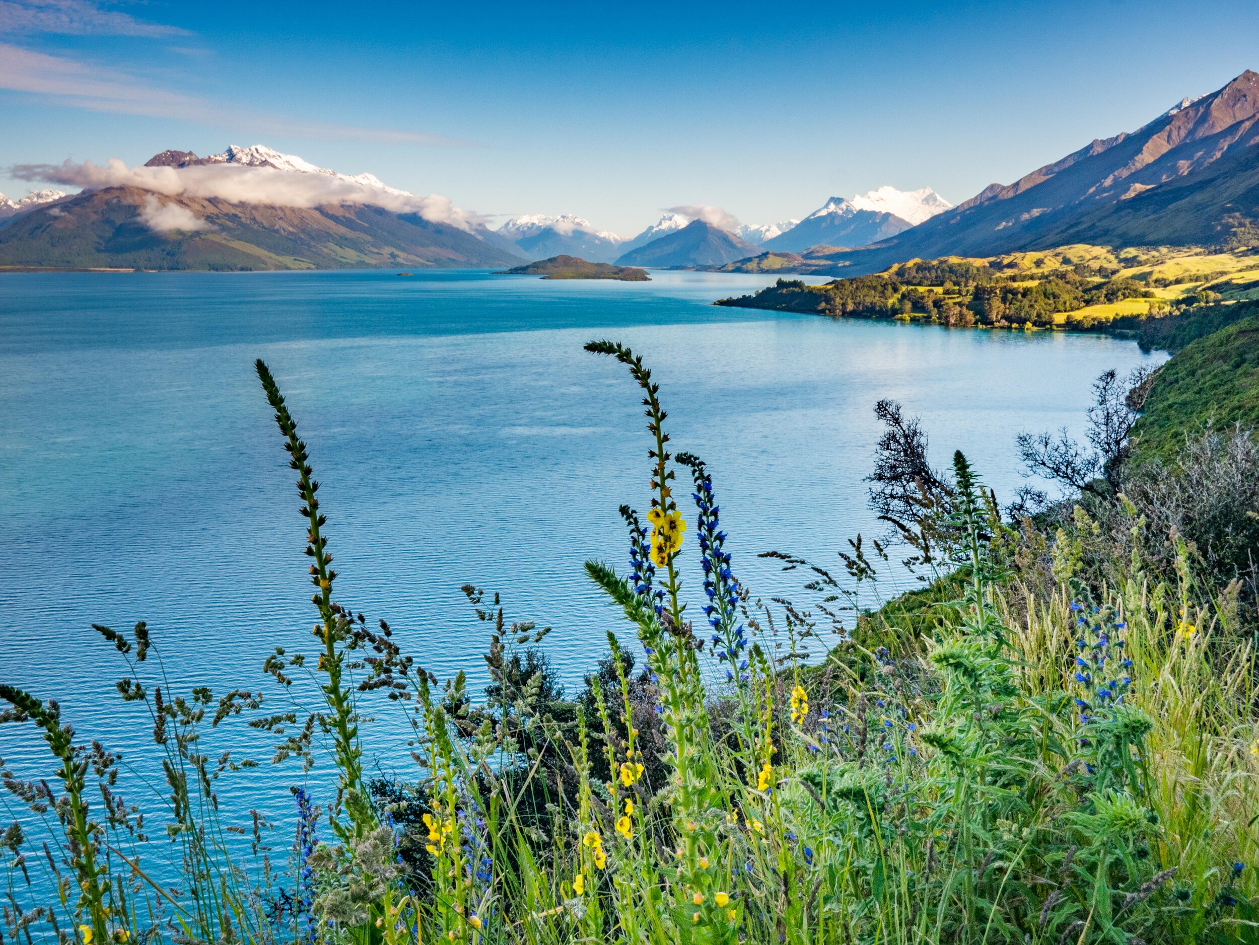
The road from Queenstown towards Glenorchy is spectacular in itself and a stop at Bennett’s Bluff is obligatory.

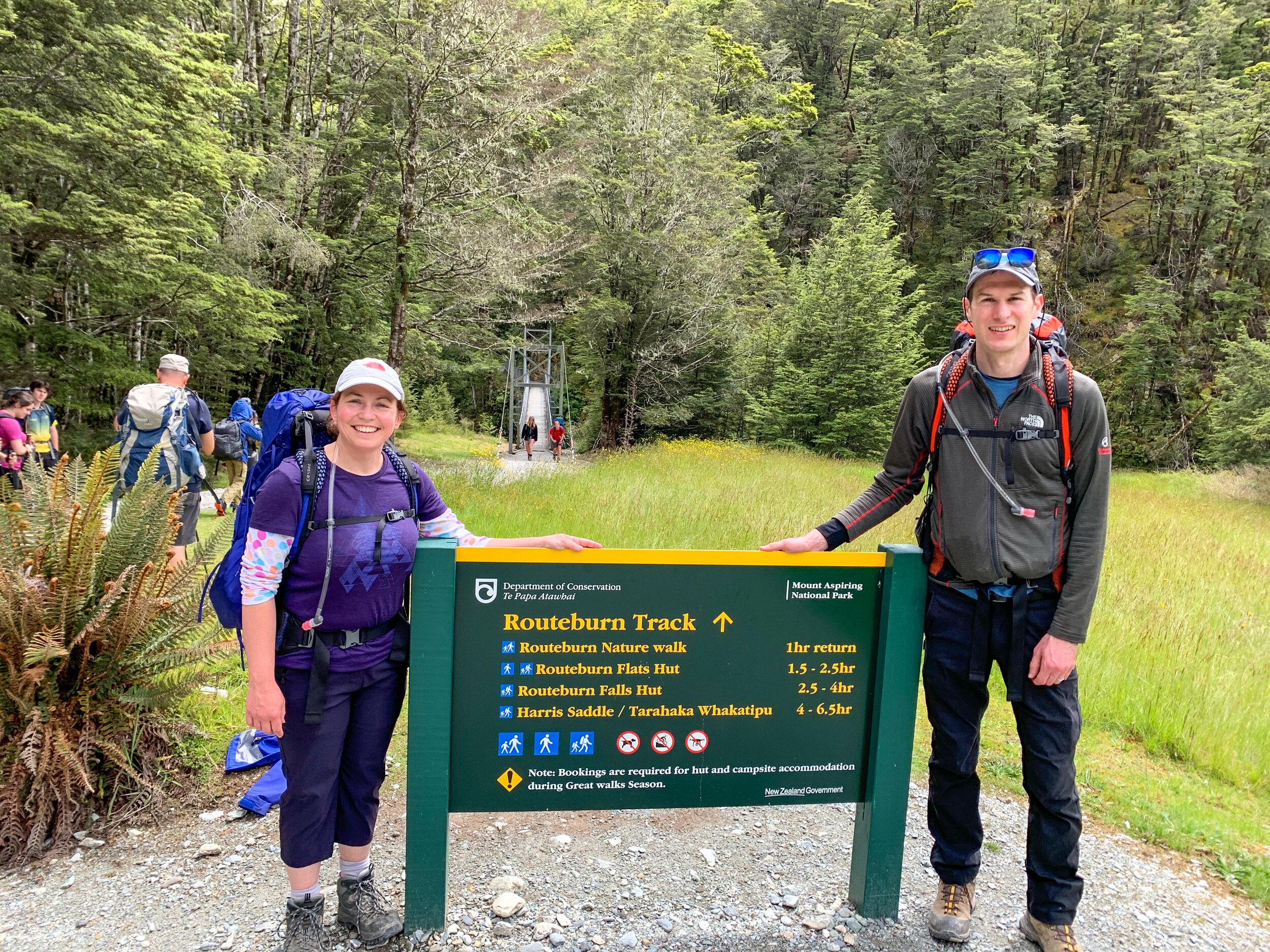
Starting the Tramp
       
     
Starting the Tramp
First bridge
       
     
First bridge

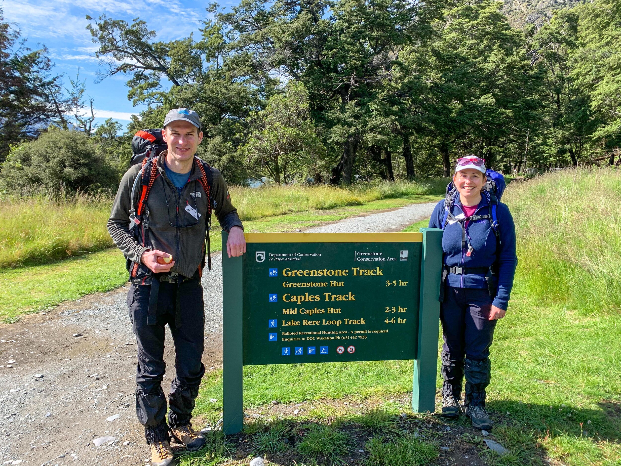
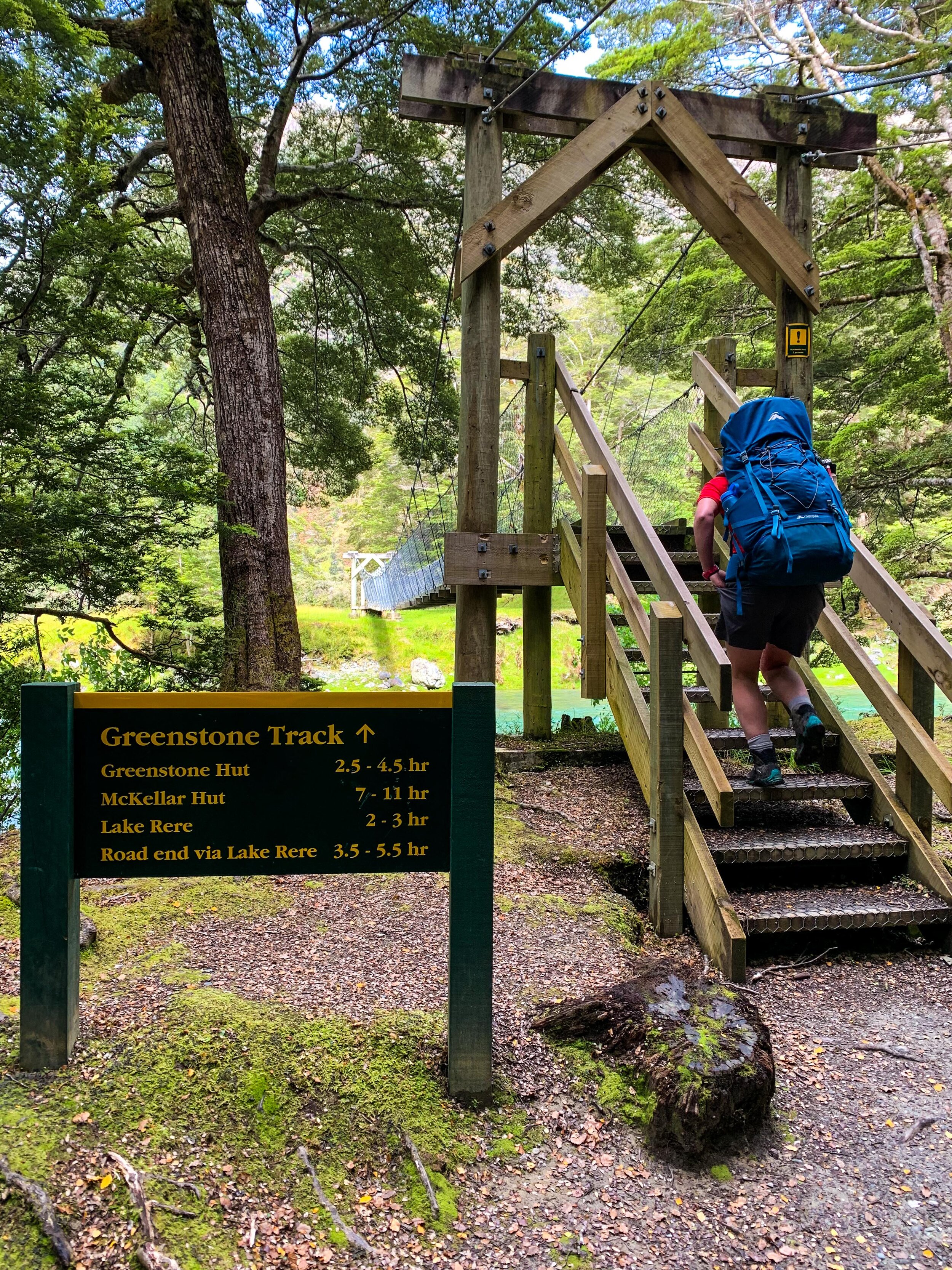
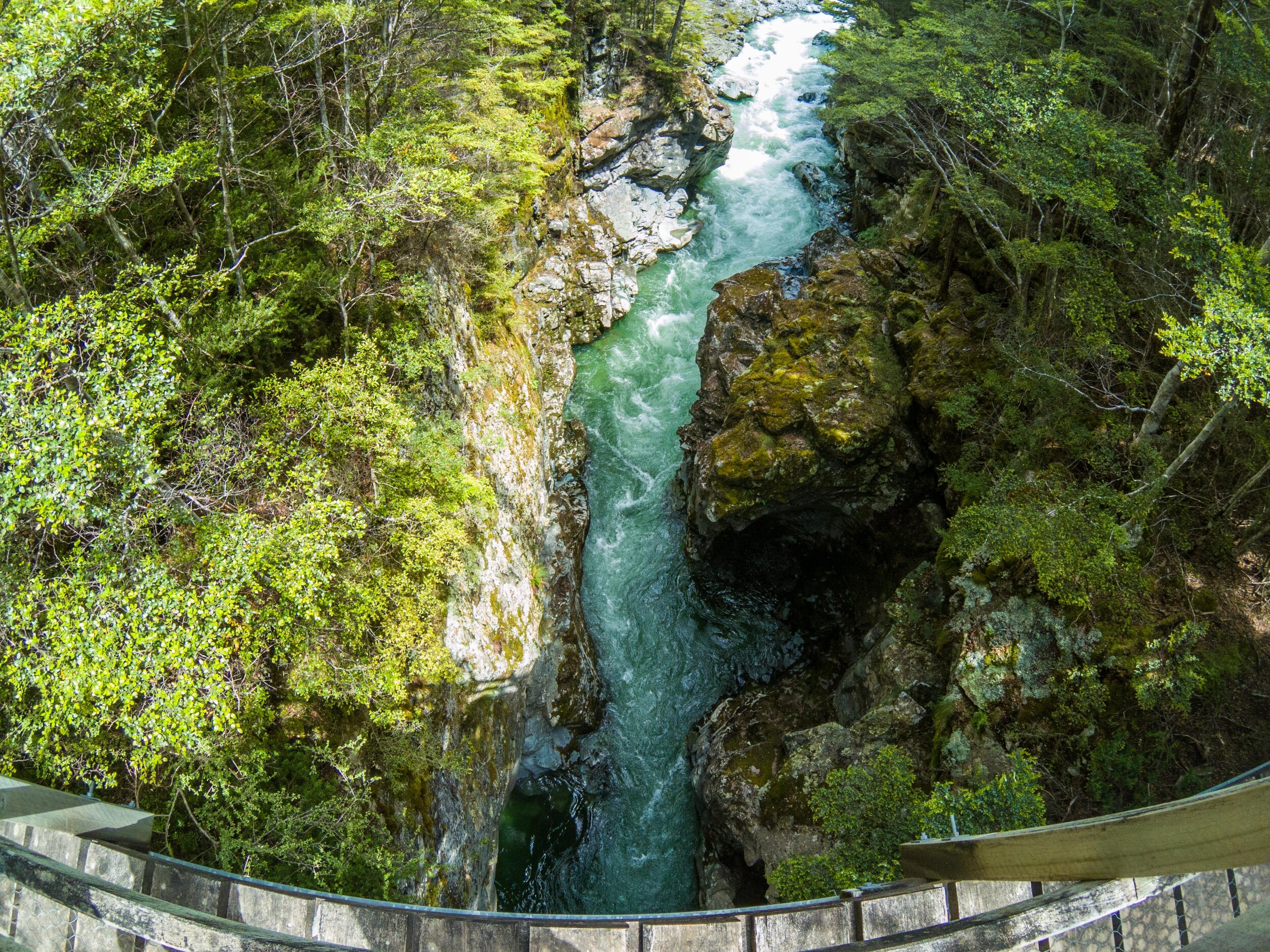
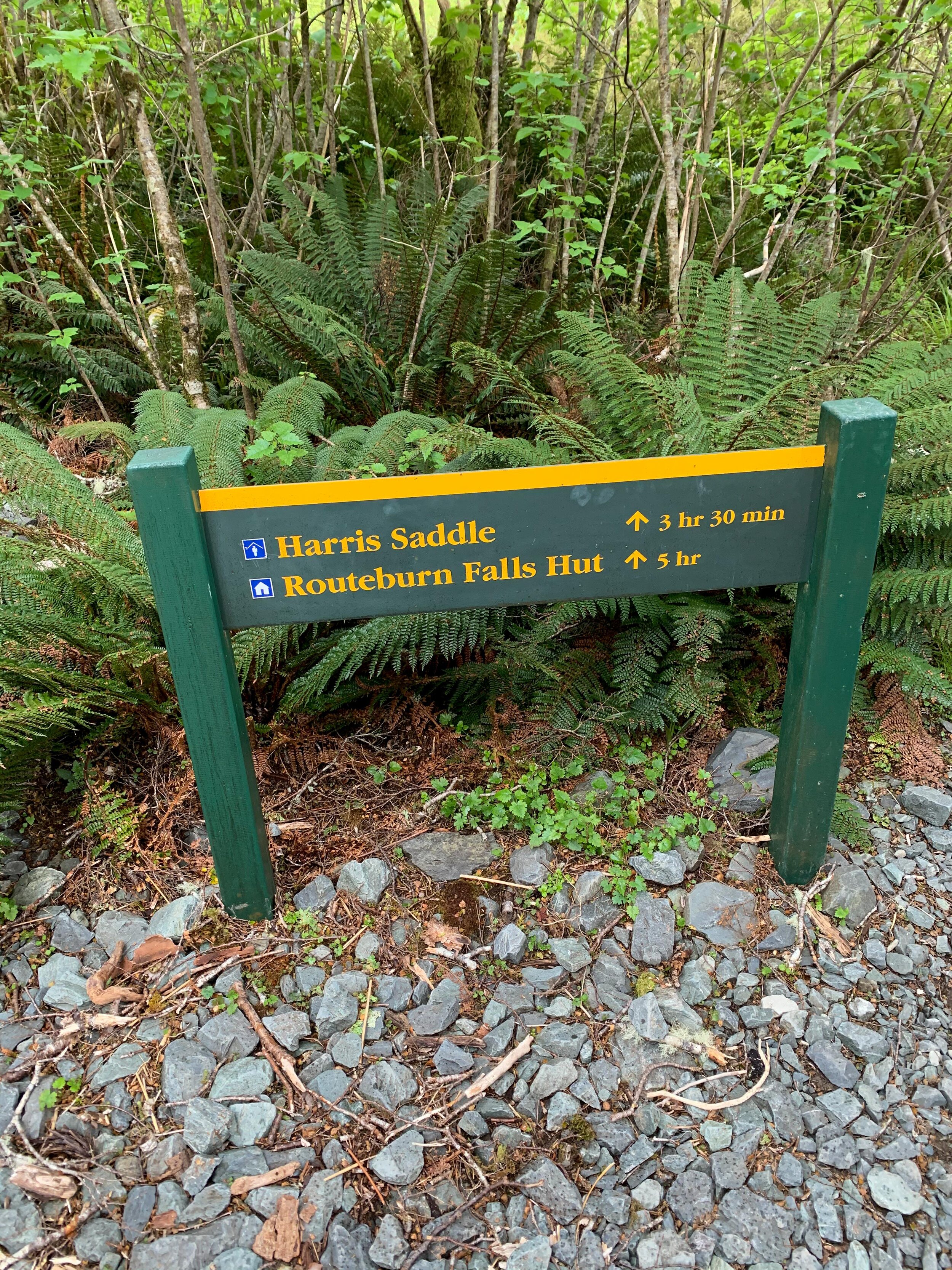
The DOC signs mark the route with time guides to each point along the track  

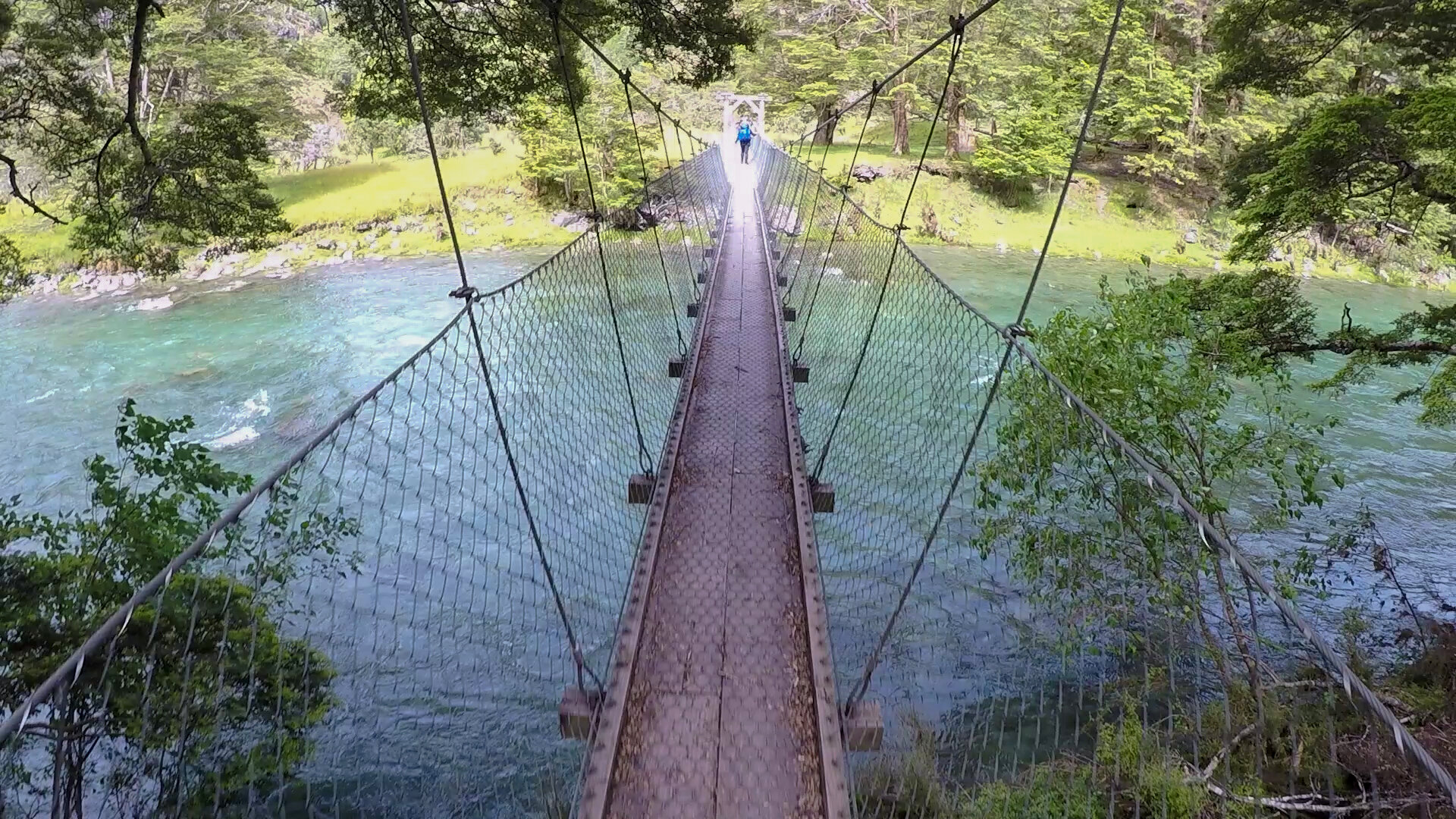
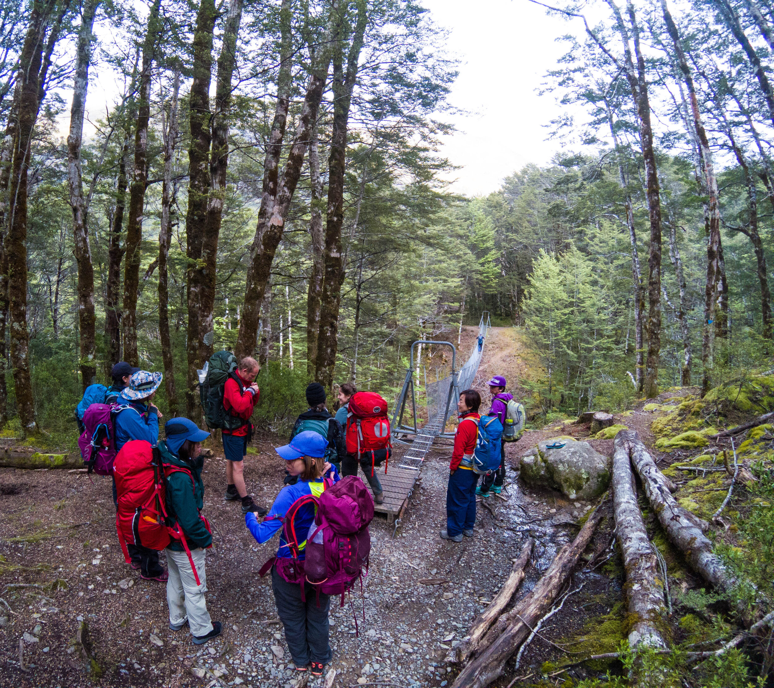
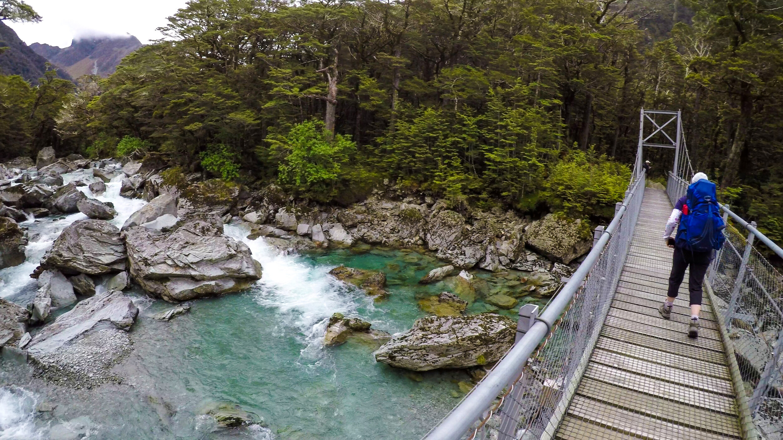
First of many suspended bridges
       
     
First of many suspended bridges
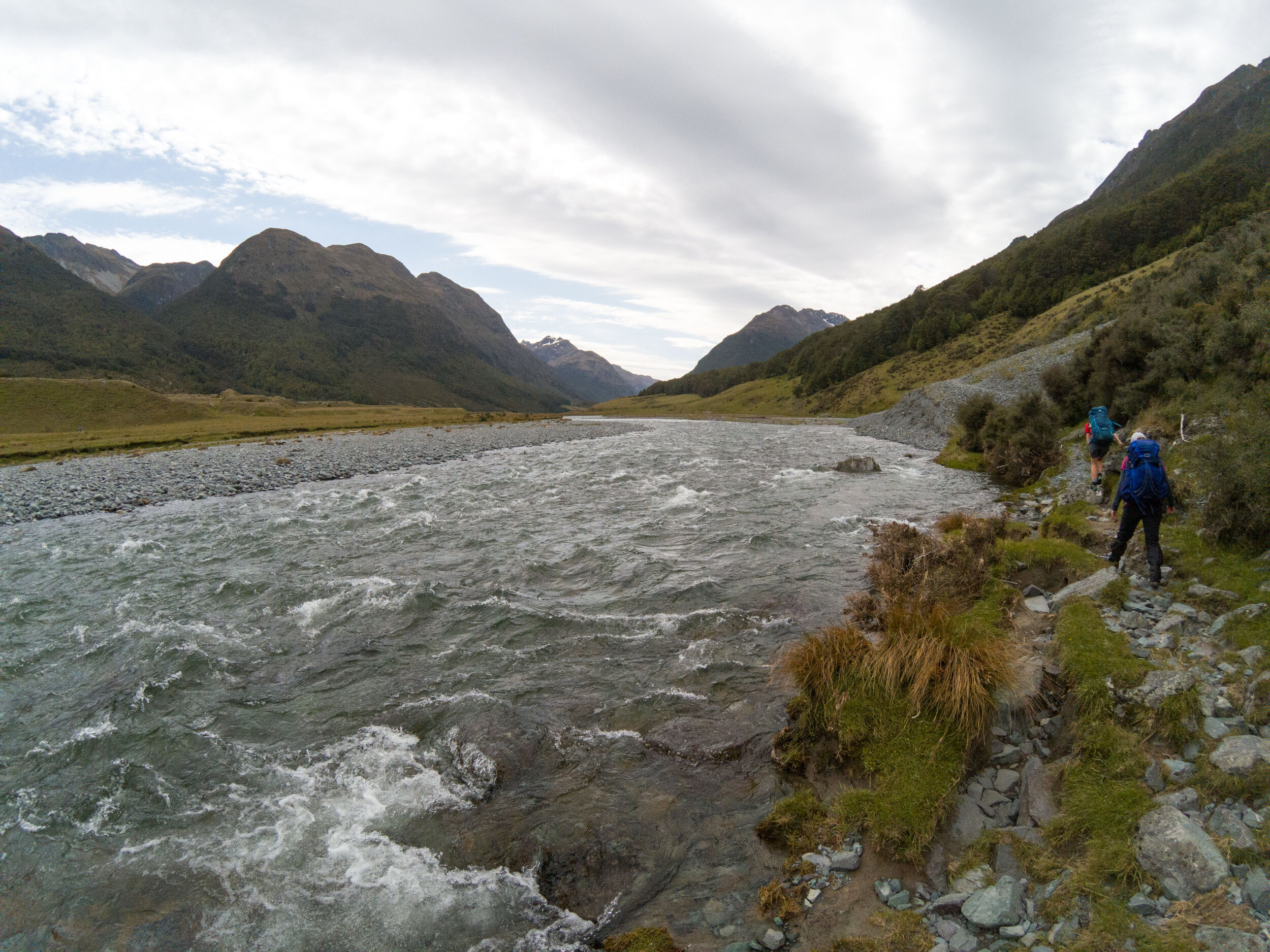
The Greenstone valley
       
     
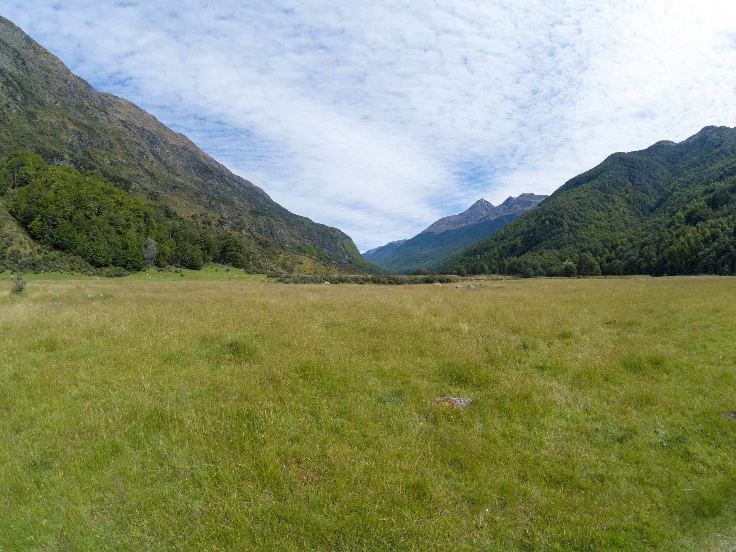
The Greenstone valley
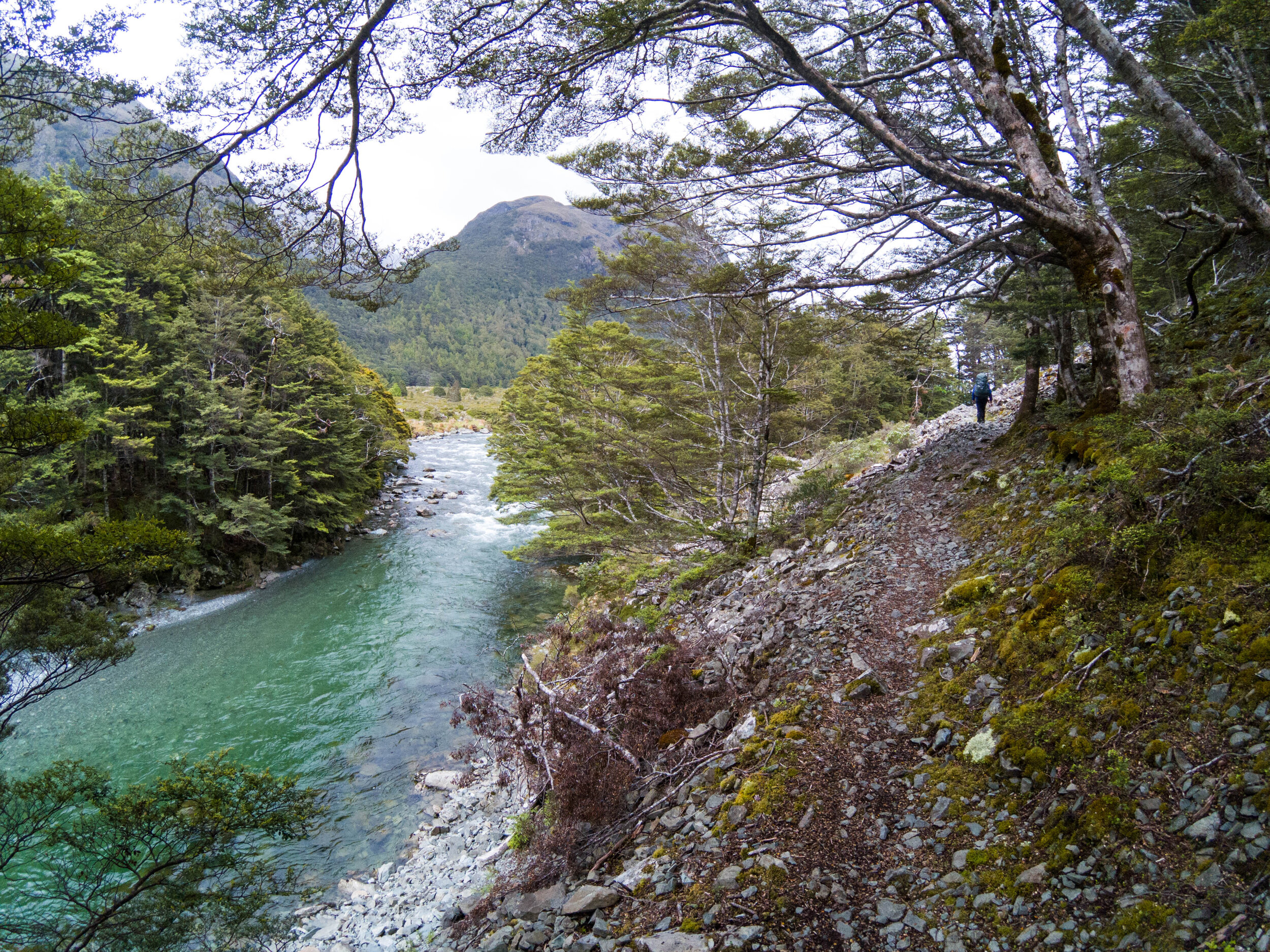
Following the track
       
     
Following the track

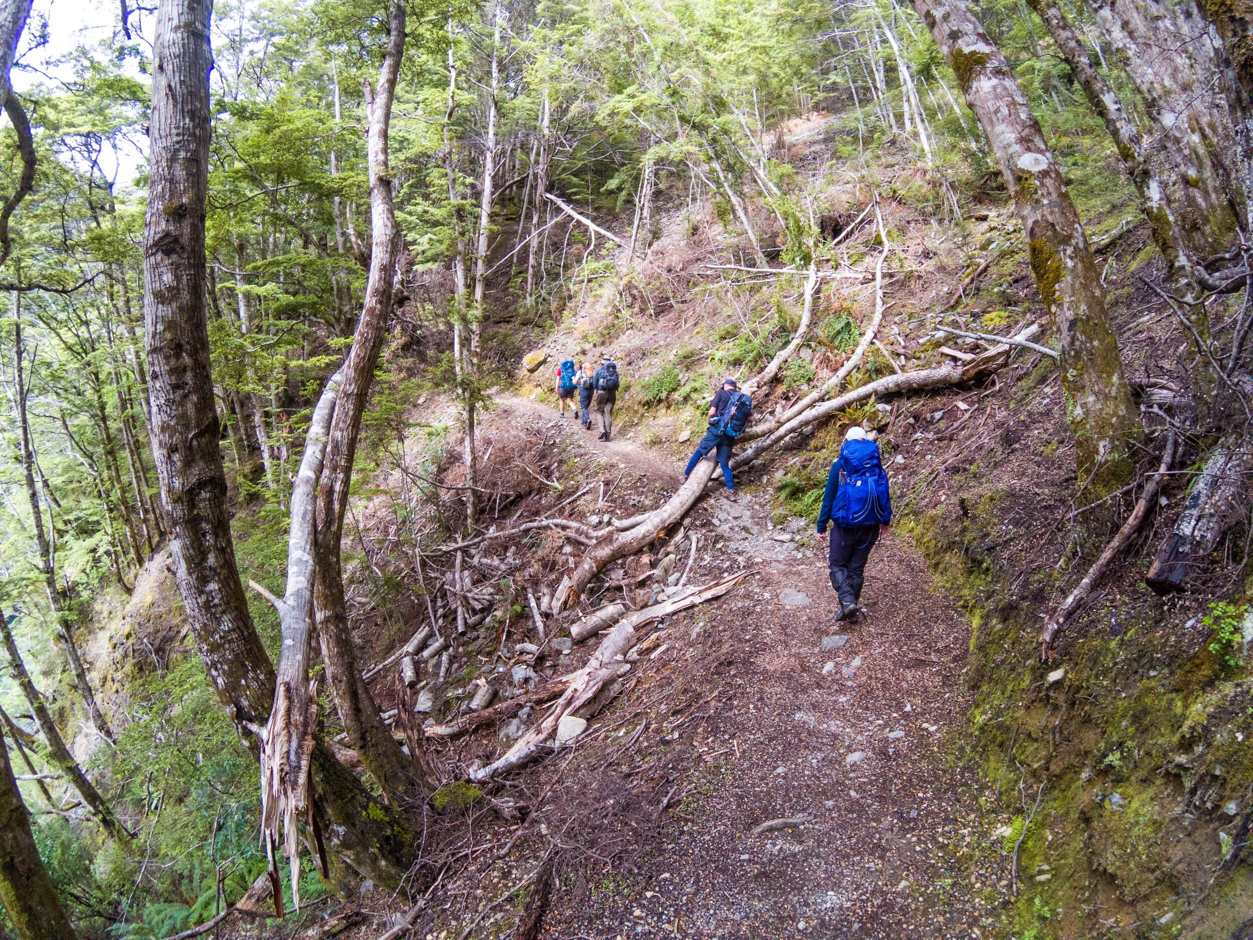
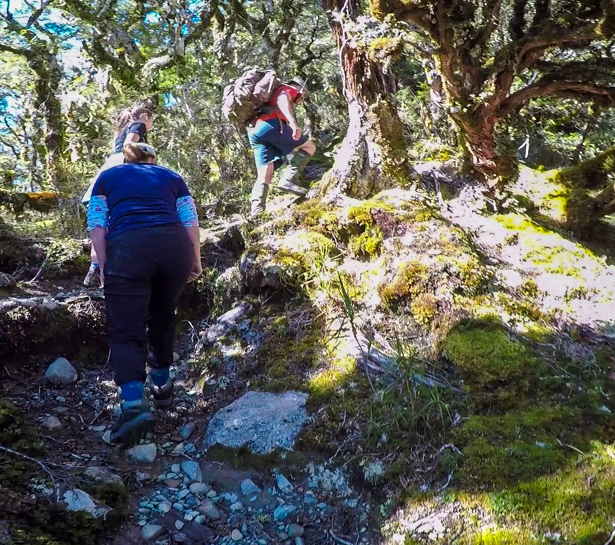
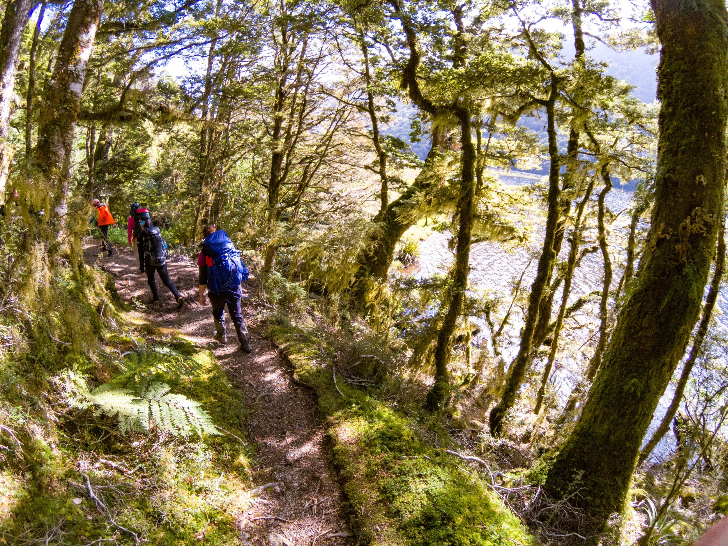
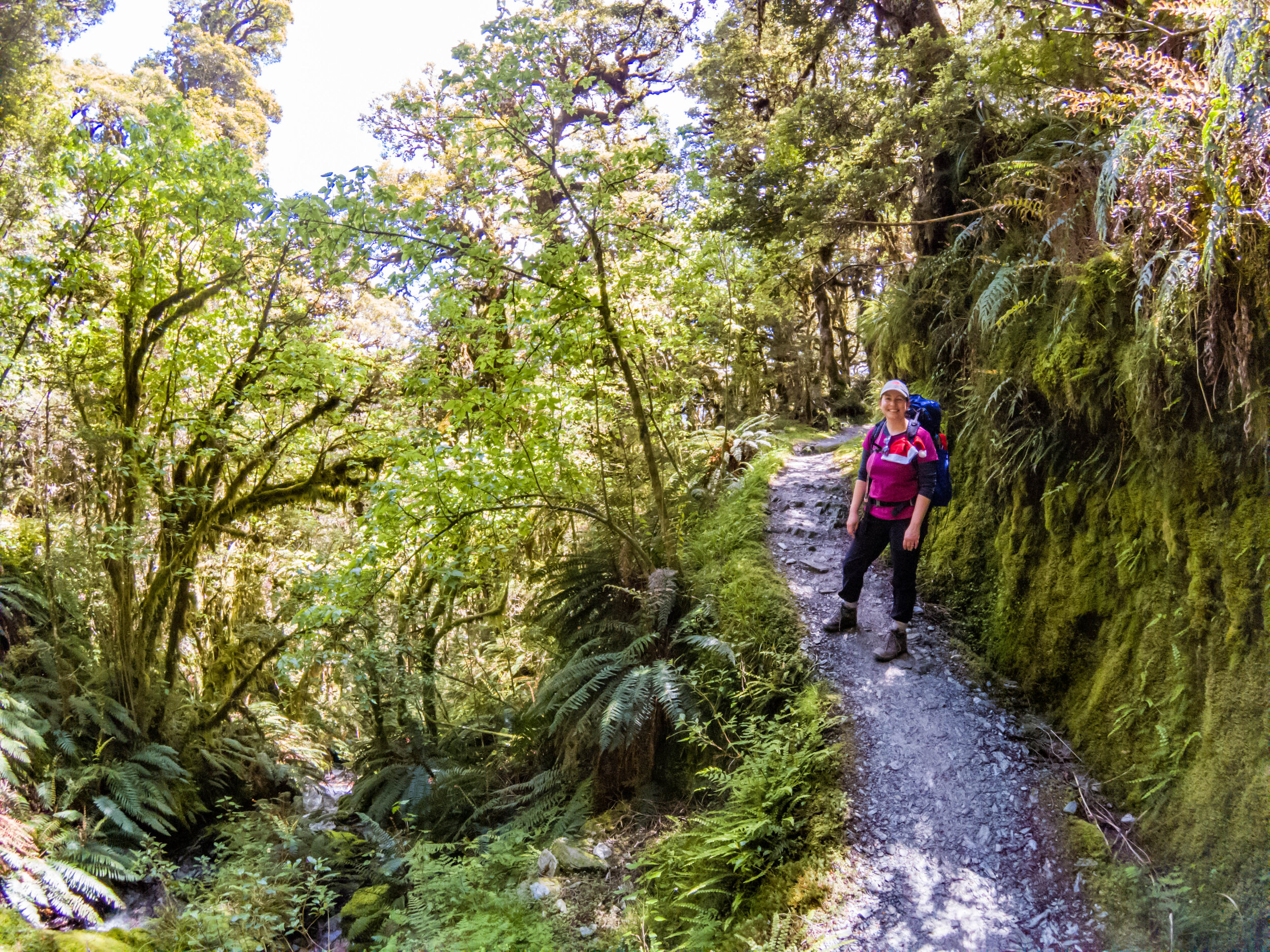
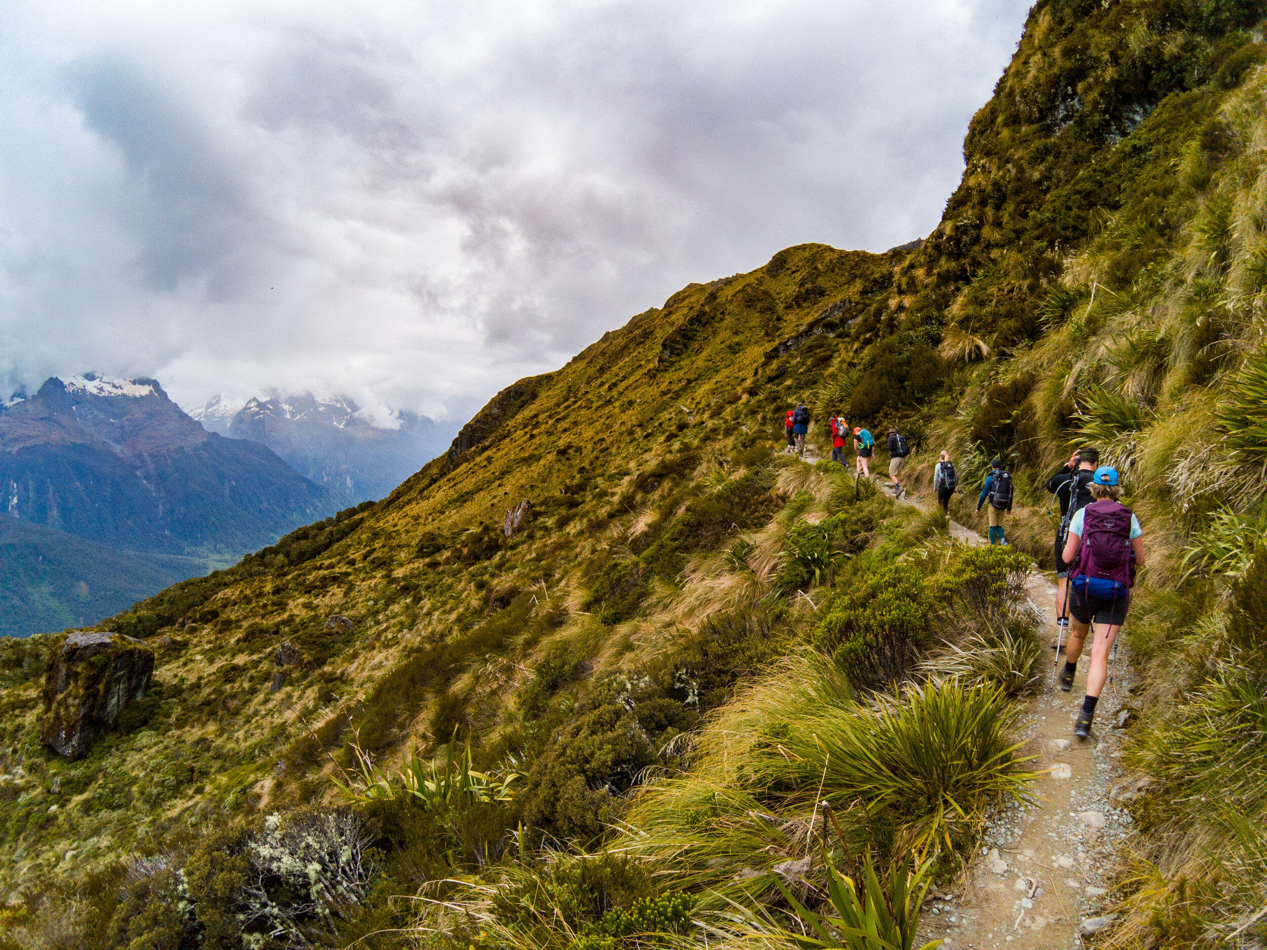
Despite being a guided walk, walkers still have to carry their own packs, water and lunch. Breakfast and dinner are provided at the huts. Each day has at least one planned tea stop in a small shelter or hut.

Grand Traverse-10.jpg
       
     
The Greenstone valley
       
     
The Greenstone valley
Grand Traverse-11.jpg
       
     
Grand Traverse-12.jpg
       
     
River crossings
       
     
River crossings

We had a couple of shallow river crossings to make so wet feet and boots were inevitable. The huts have drying rooms for wet gear so it was only a short term discomfort. 

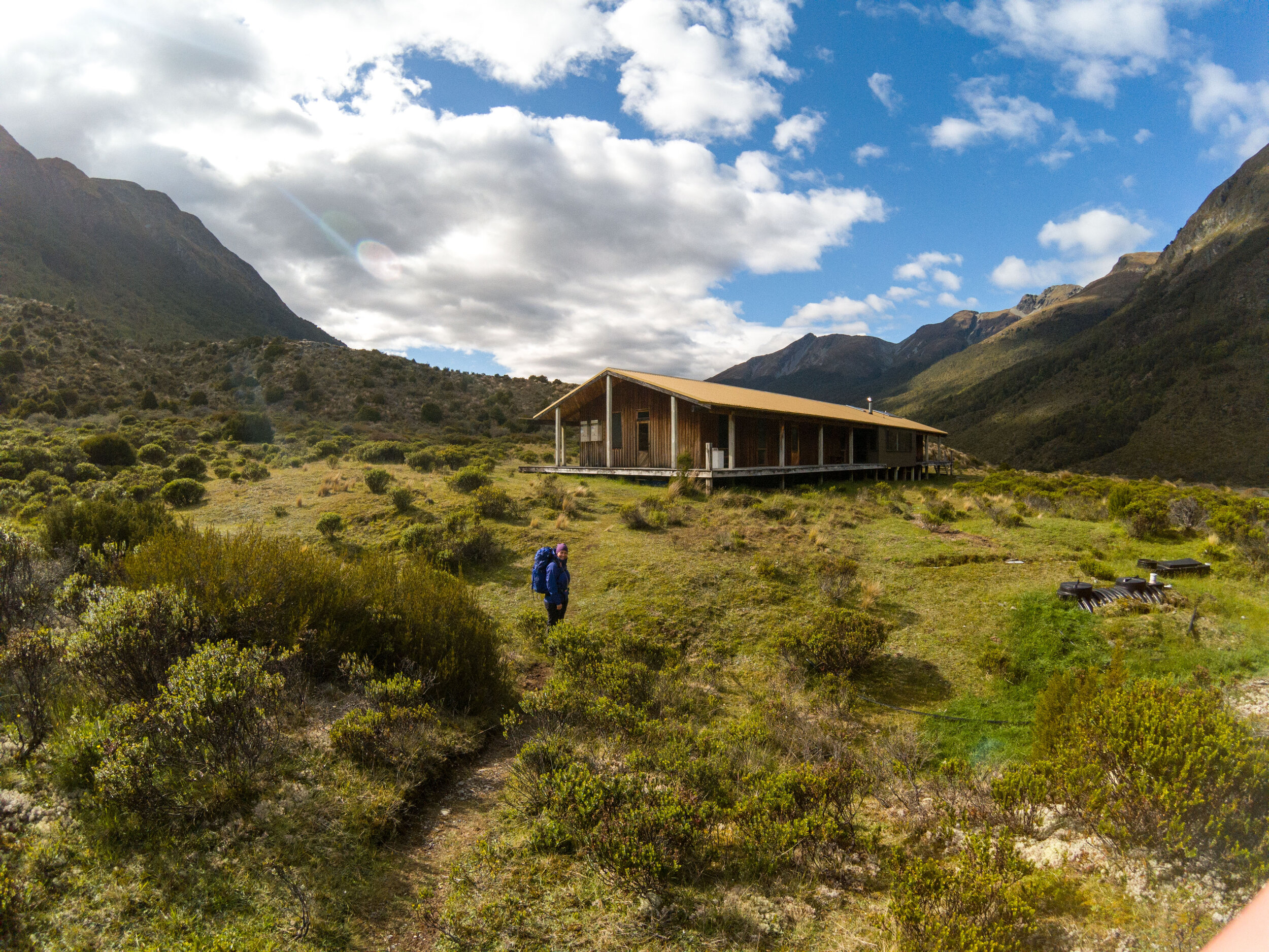
Arriving at Steele Creek Lodge
       
     
Arriving at Steele Creek Lodge

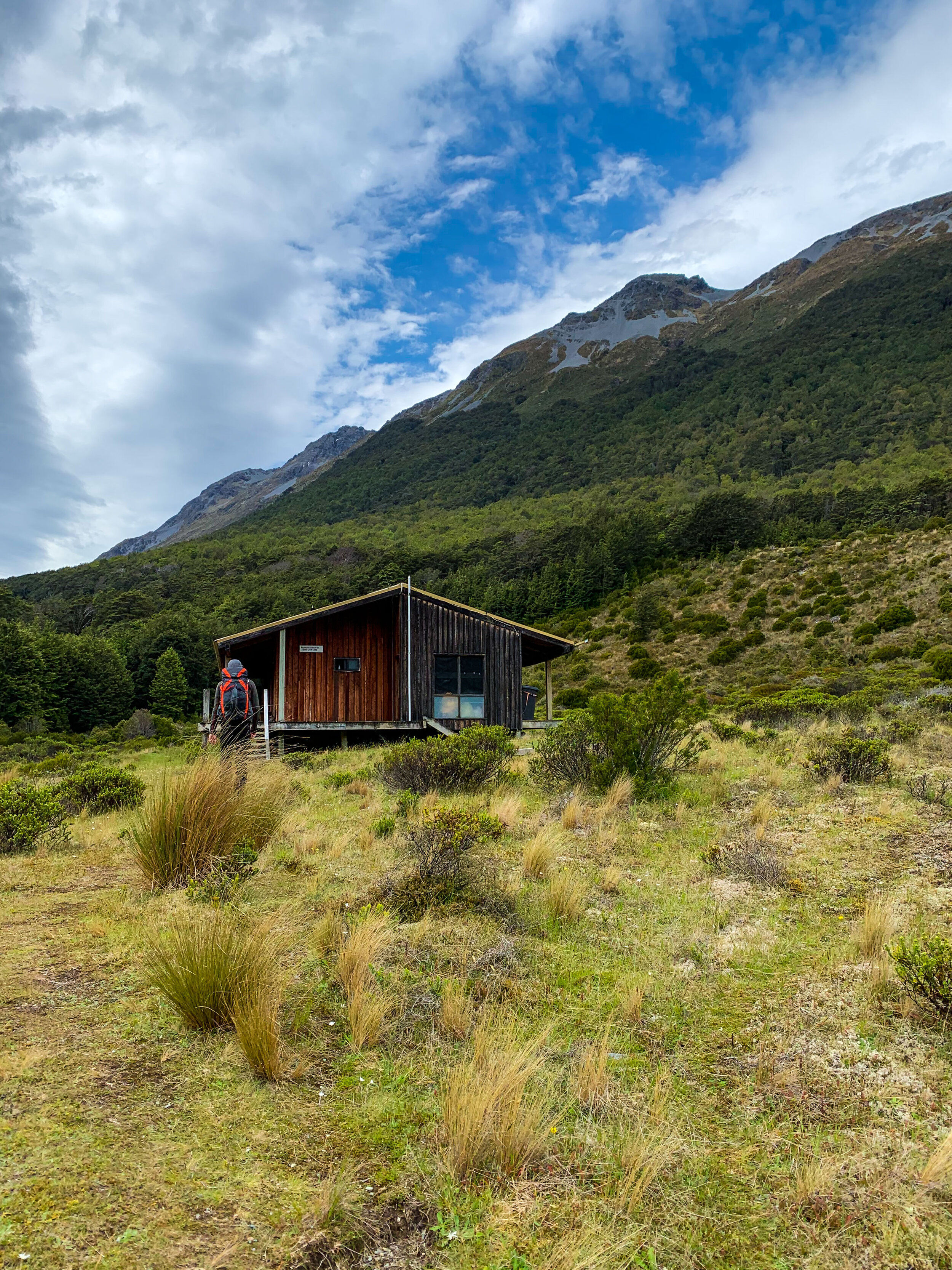
18km later we arrive at Steele Creek Lodge

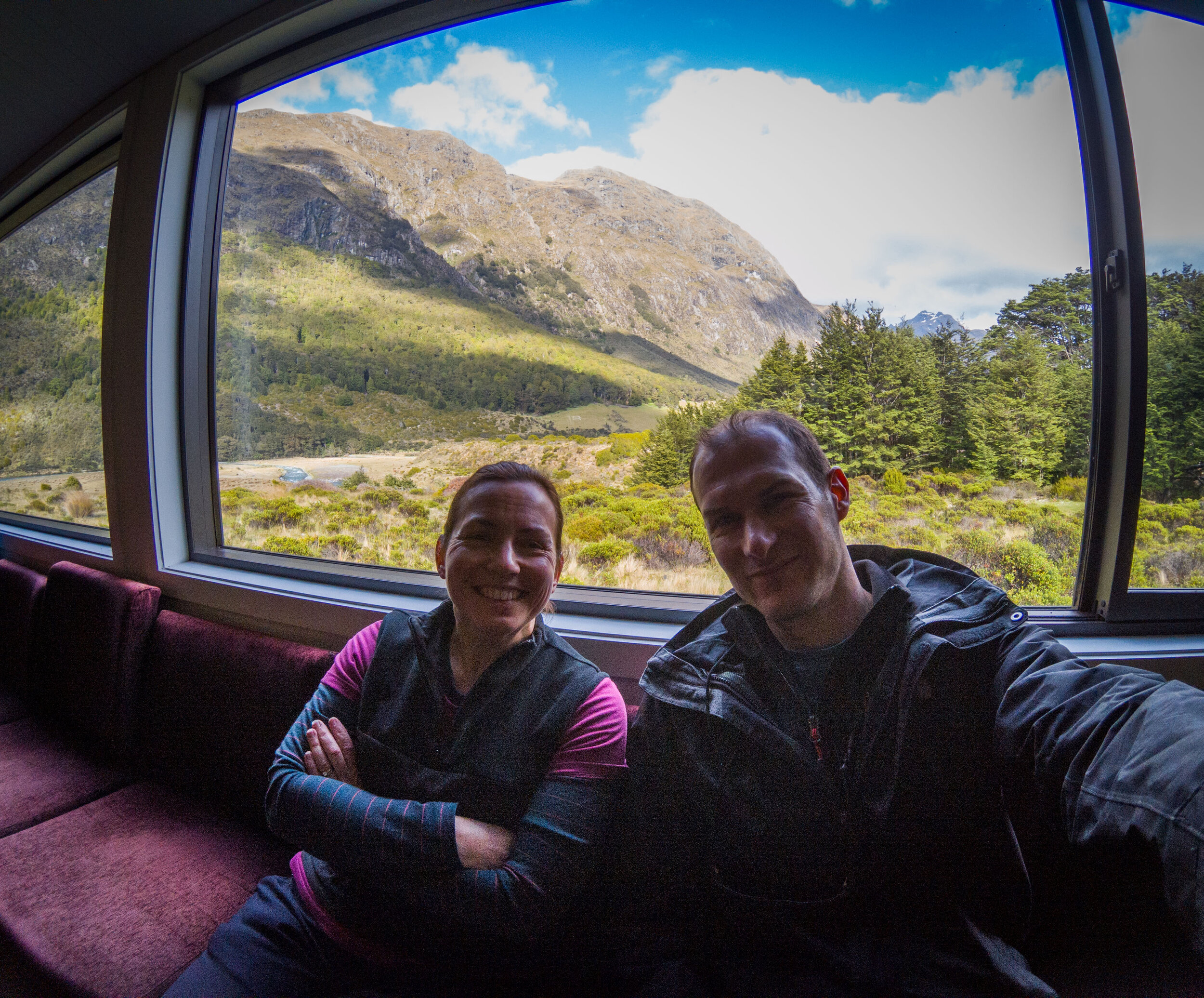
View from the lodge
       
     
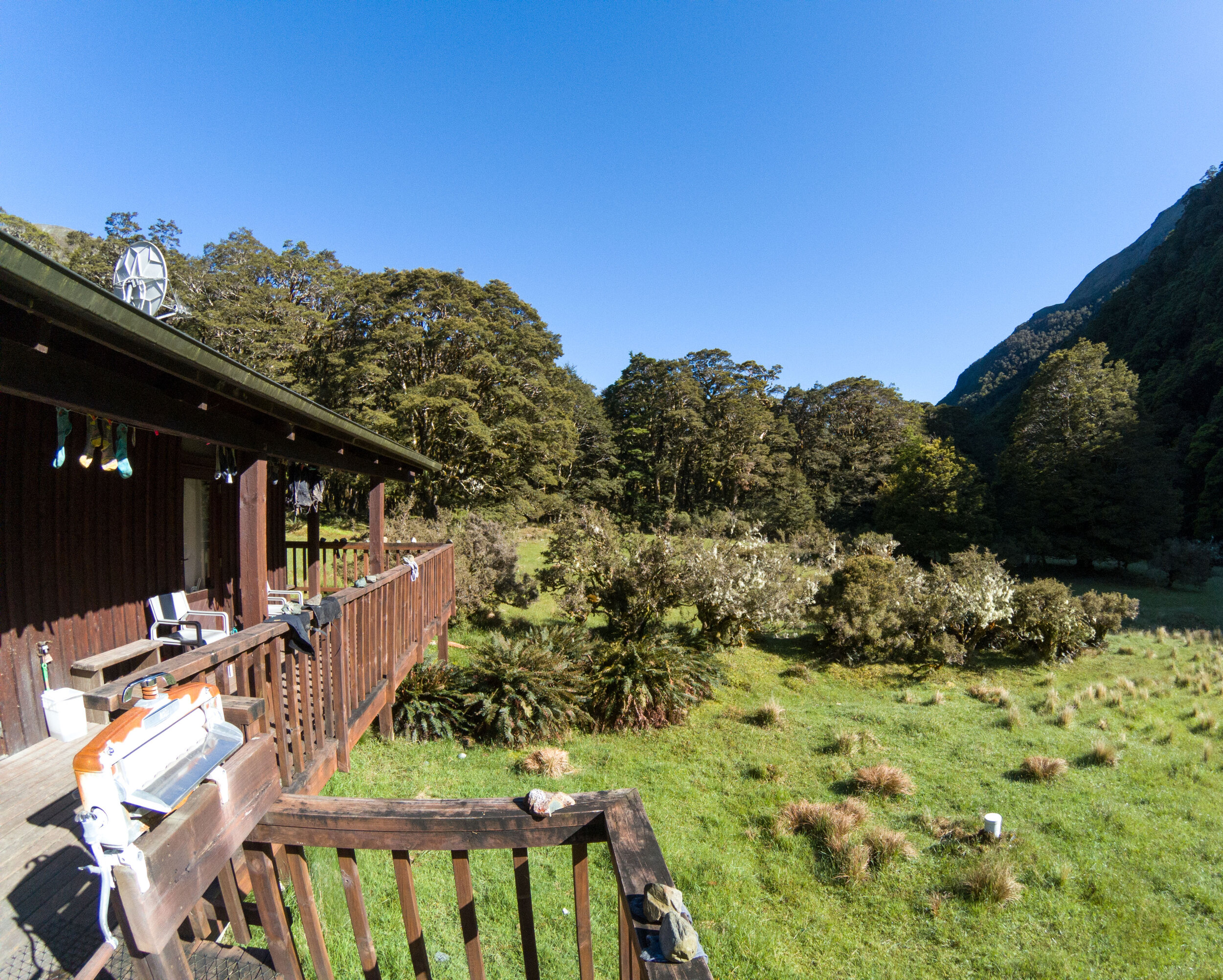
View from the lodge

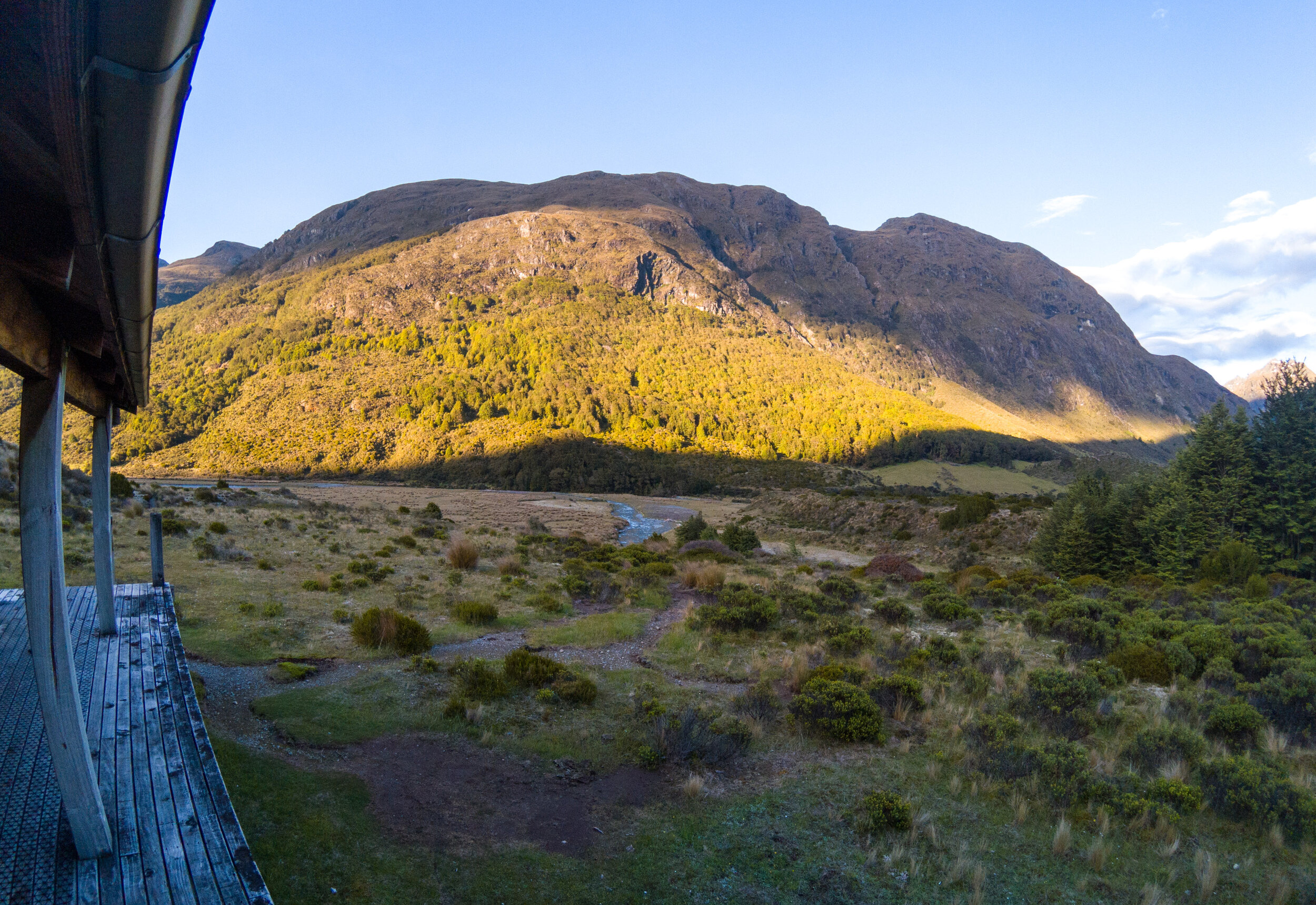
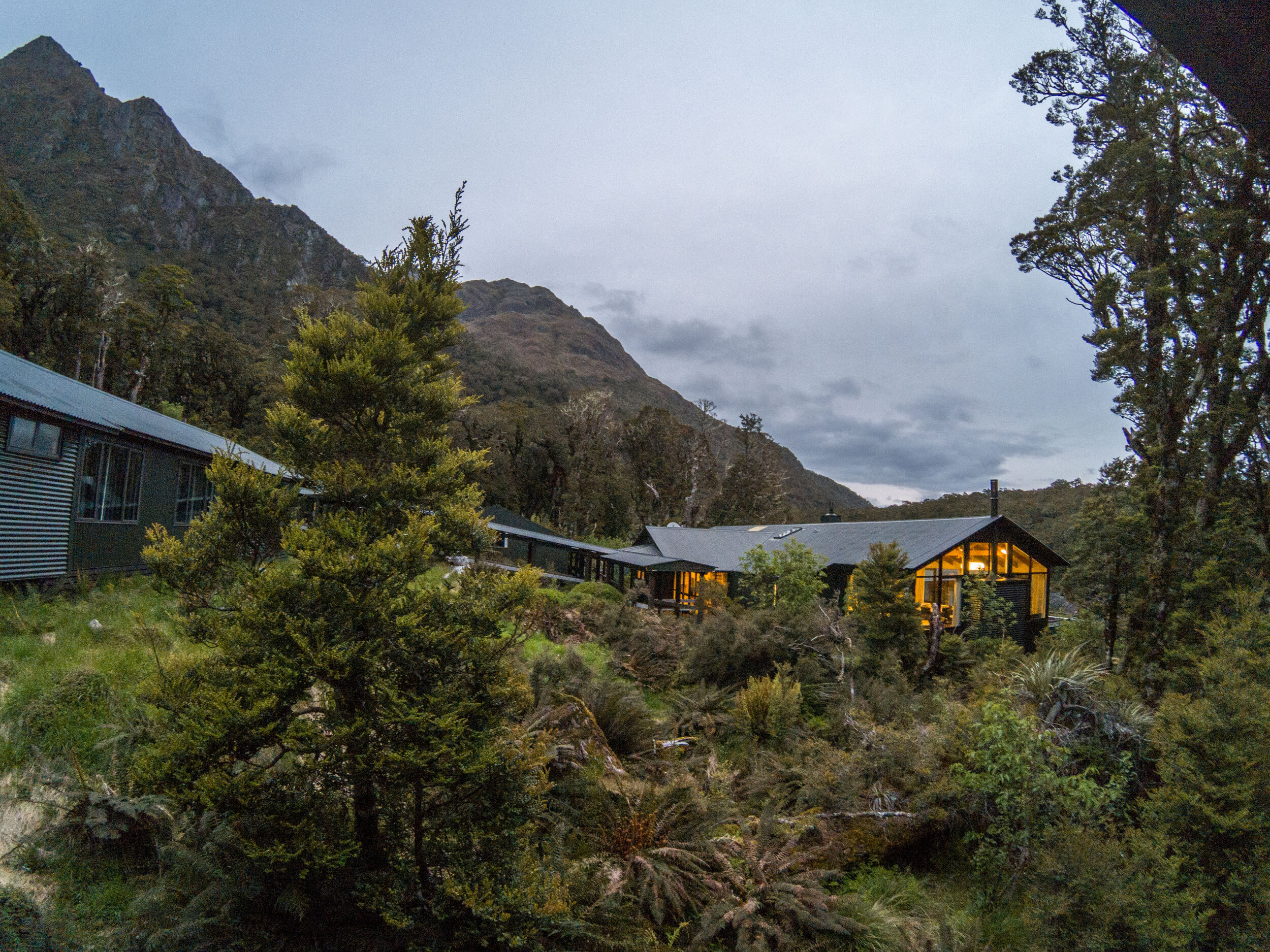
The valley floor in shadow as the sun drops behind the mountains. 

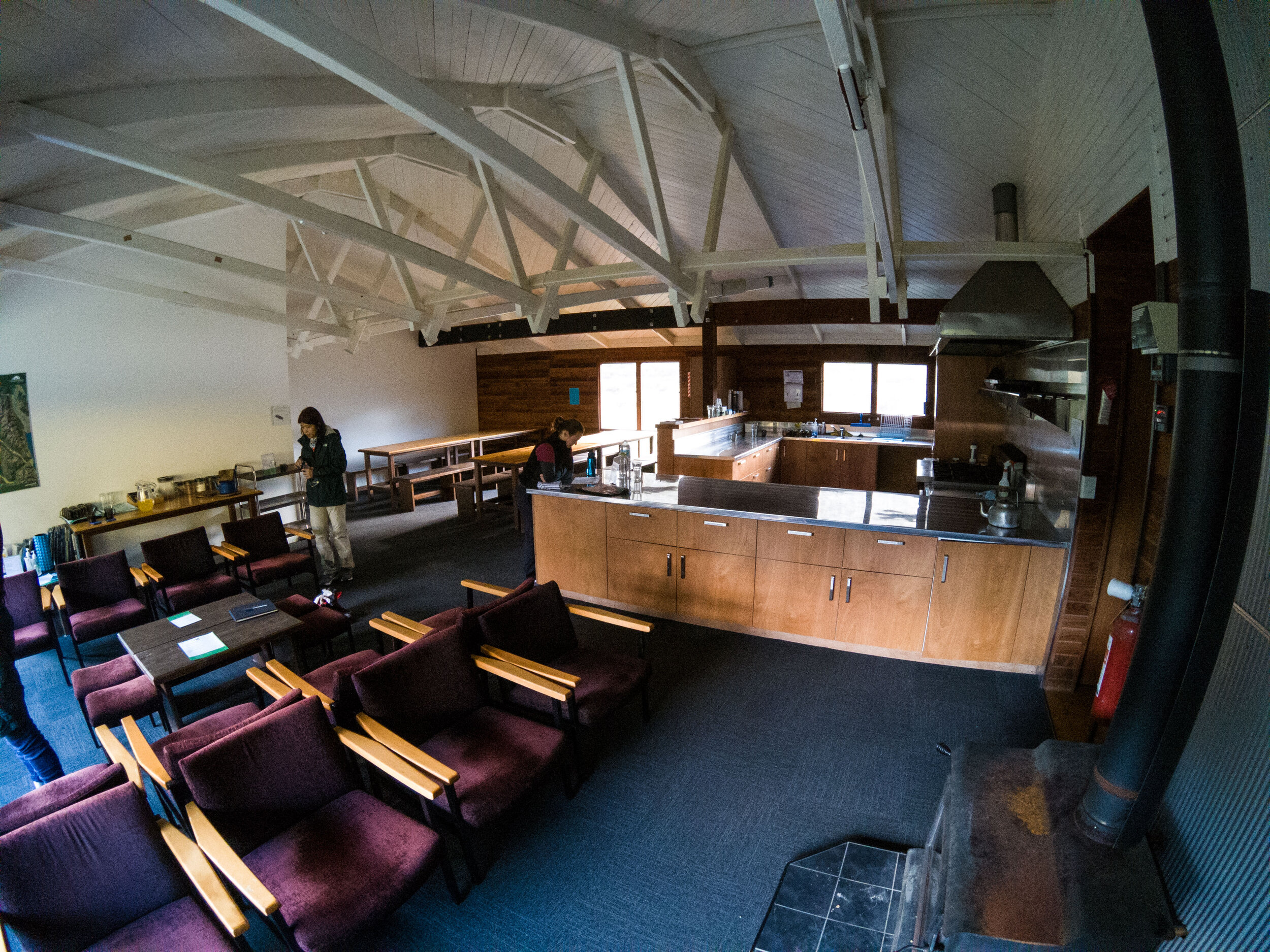
Steele Creek Lodge
       
     
Steele Creek Lodge

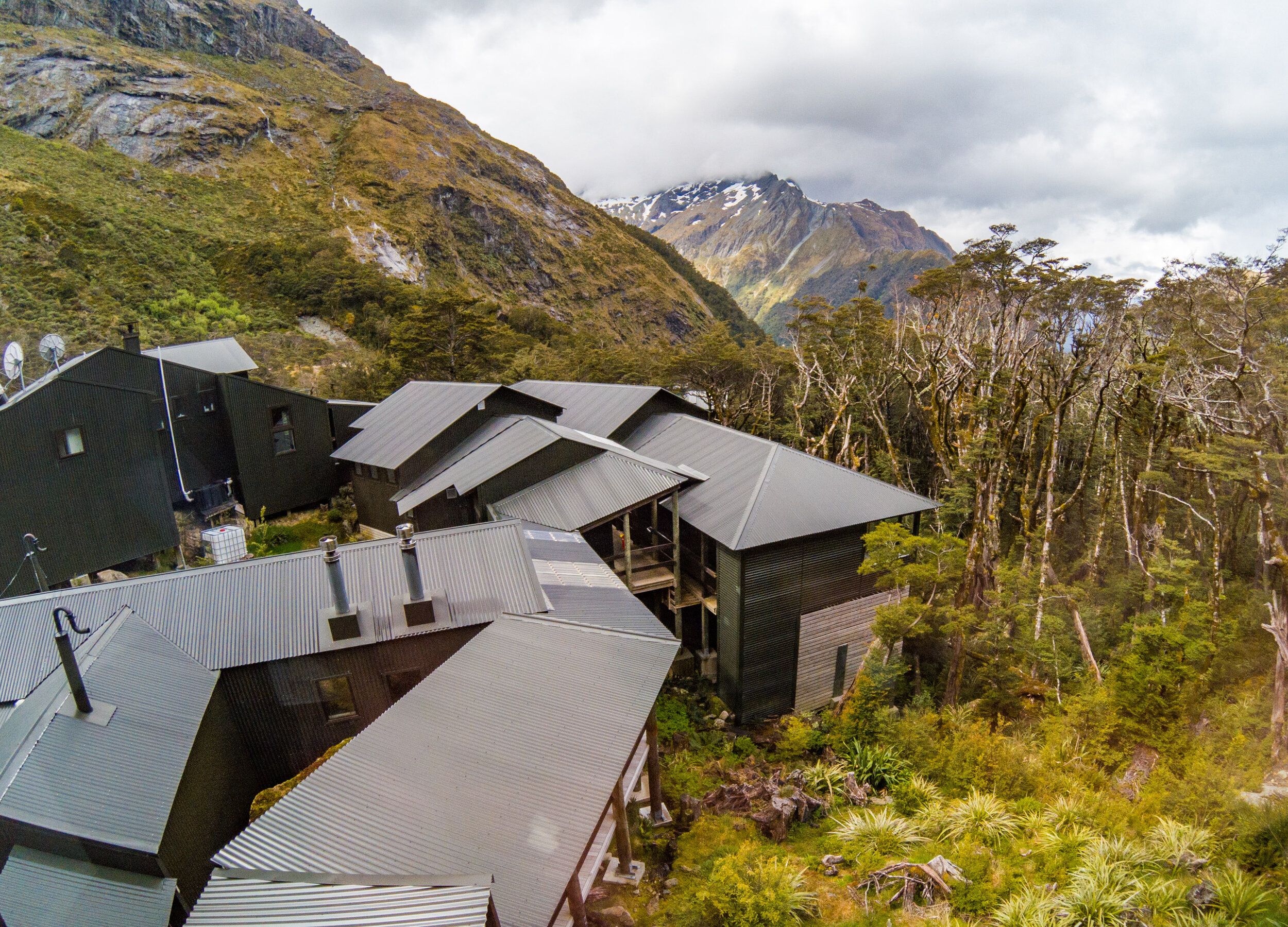
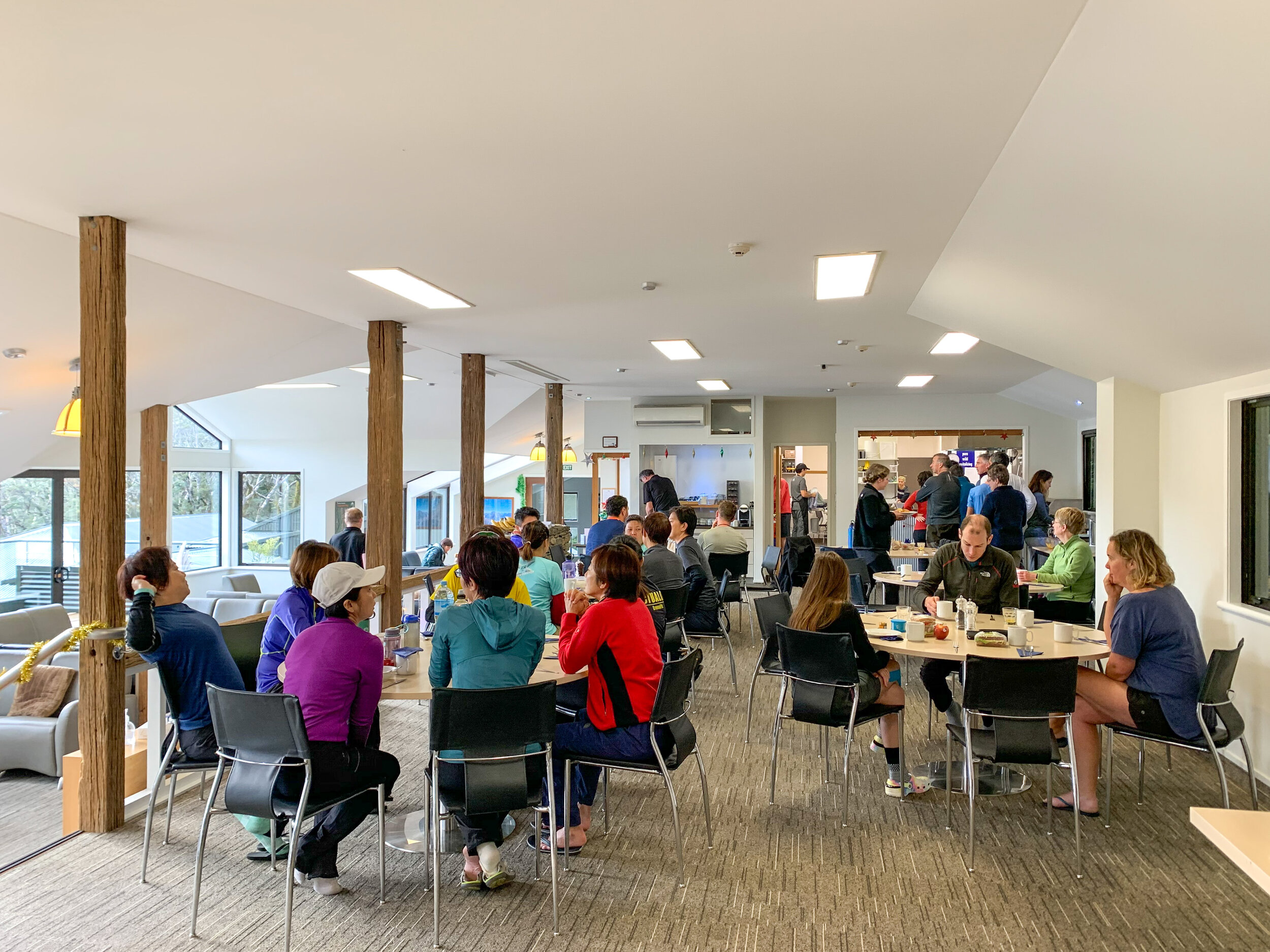
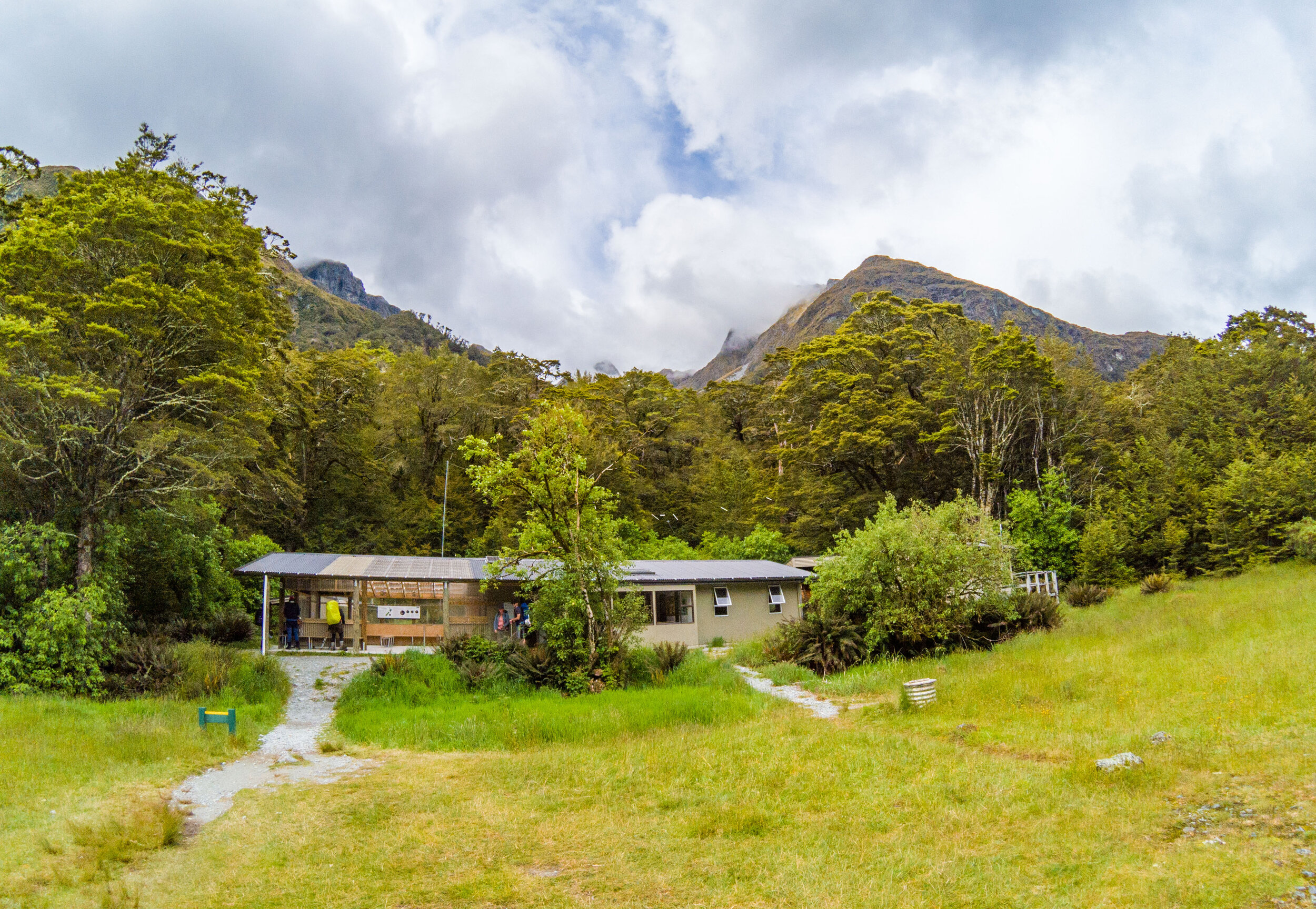
Main social space with kitchen, dining and comfy seating. There were two bunk rooms; we were in the smaller of the two which slept around 8 people. 

End of day 1
       
     
End of day 1
Day 2 - leaving Steele Creek Lodge
       
     
Day 2 - leaving Steele Creek Lodge
One person bridge
       
     
One person bridge

Each bridge had a weight limit, this was one person. You get a bit of a bottleneck as each person crosses. If you stand around still for too long the sand flies find you.  

This one had a good bounce
       
     
This one had a good bounce
Following the river again
       
     
Following the river again
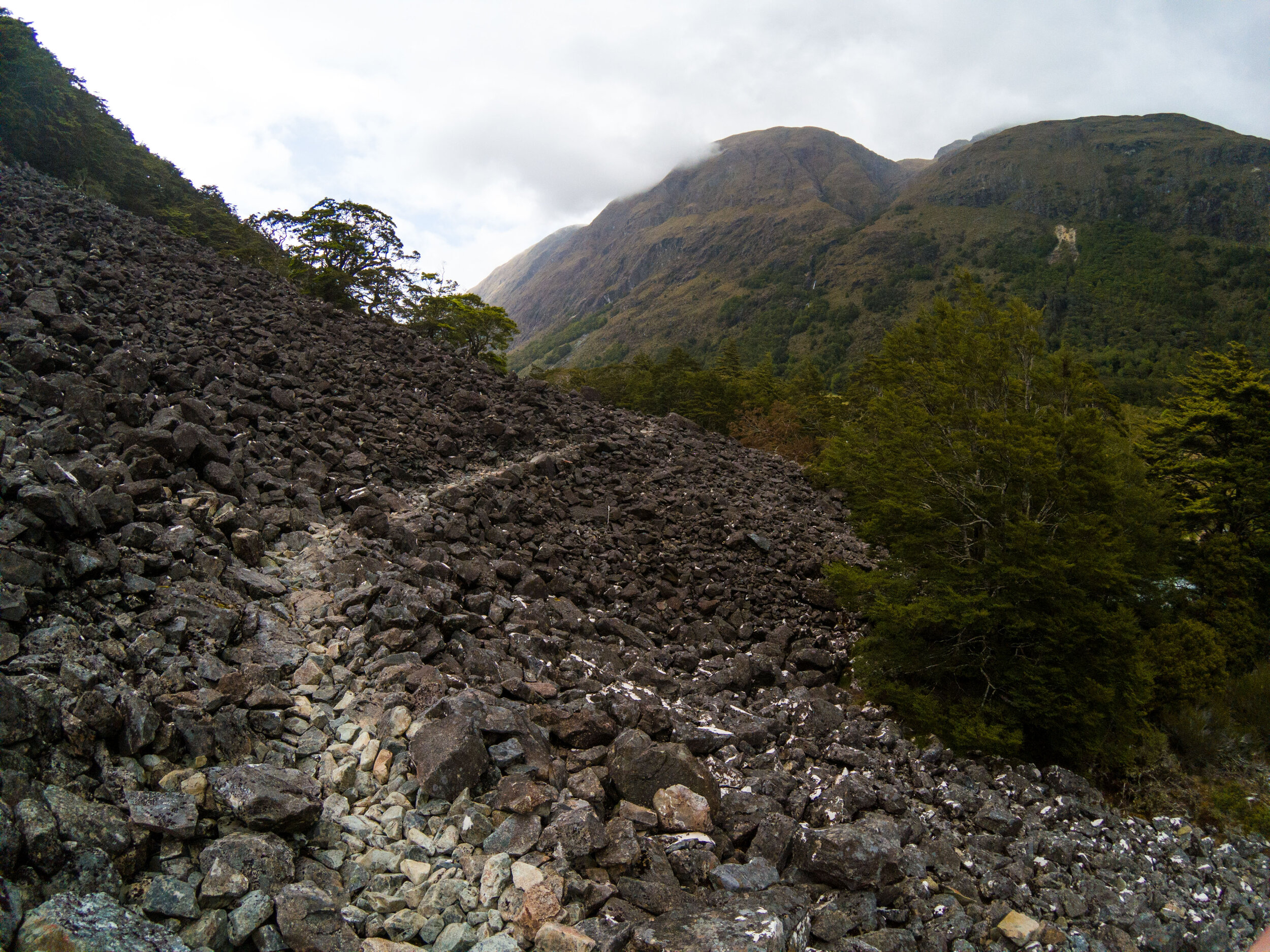
Crossing blackened landslips
       
     
Crossing blackened landslips
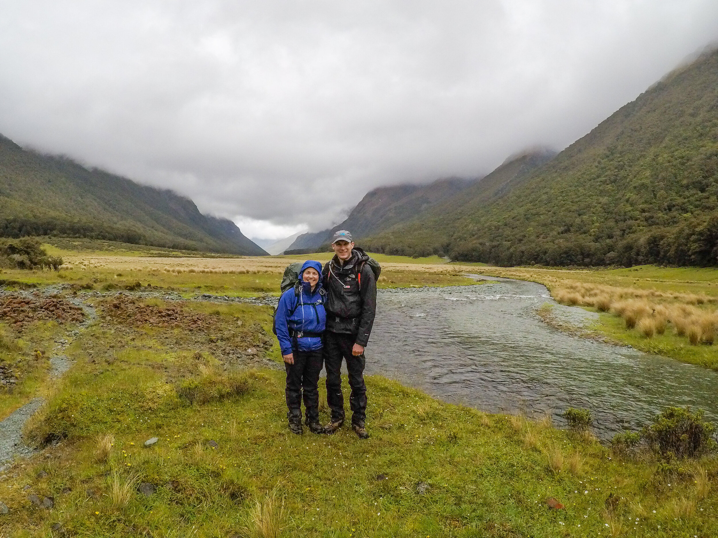
The glacial valley
       
     
The glacial valley

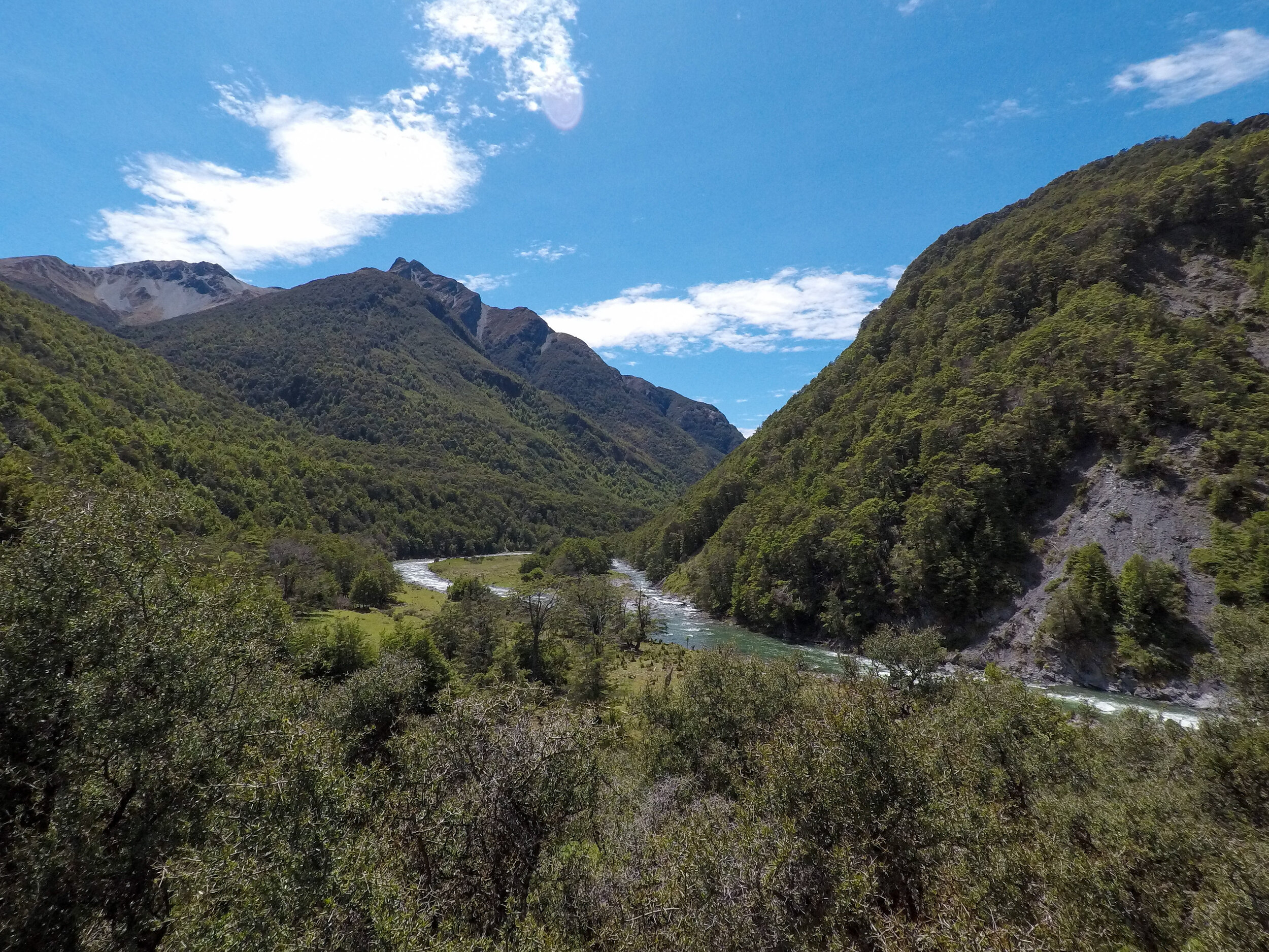
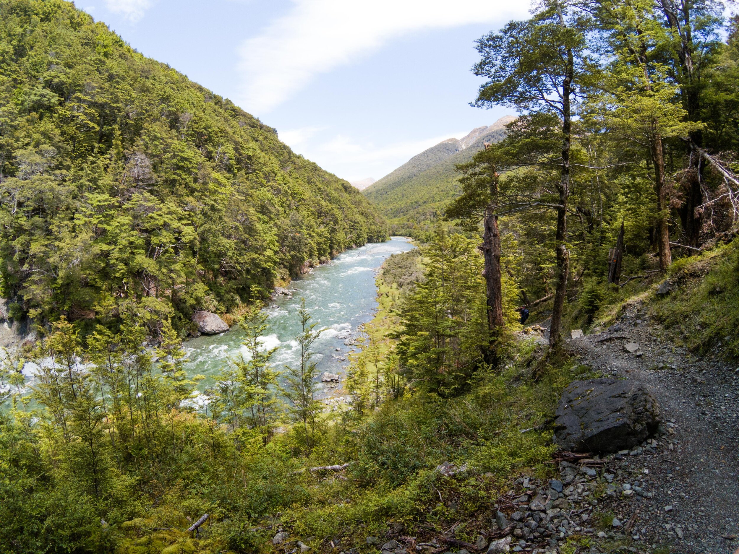
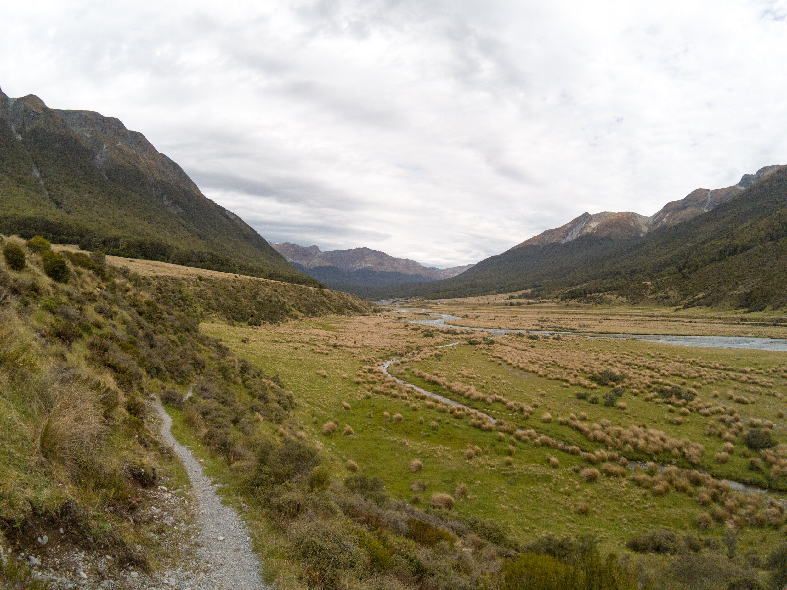
The Greenstone has the classic U-shape created by glacial action with steep sides and wide flat bottom. We had light rain and headwind as we made our way along the valley. 

Goblin forest
       
     
Goblin forest

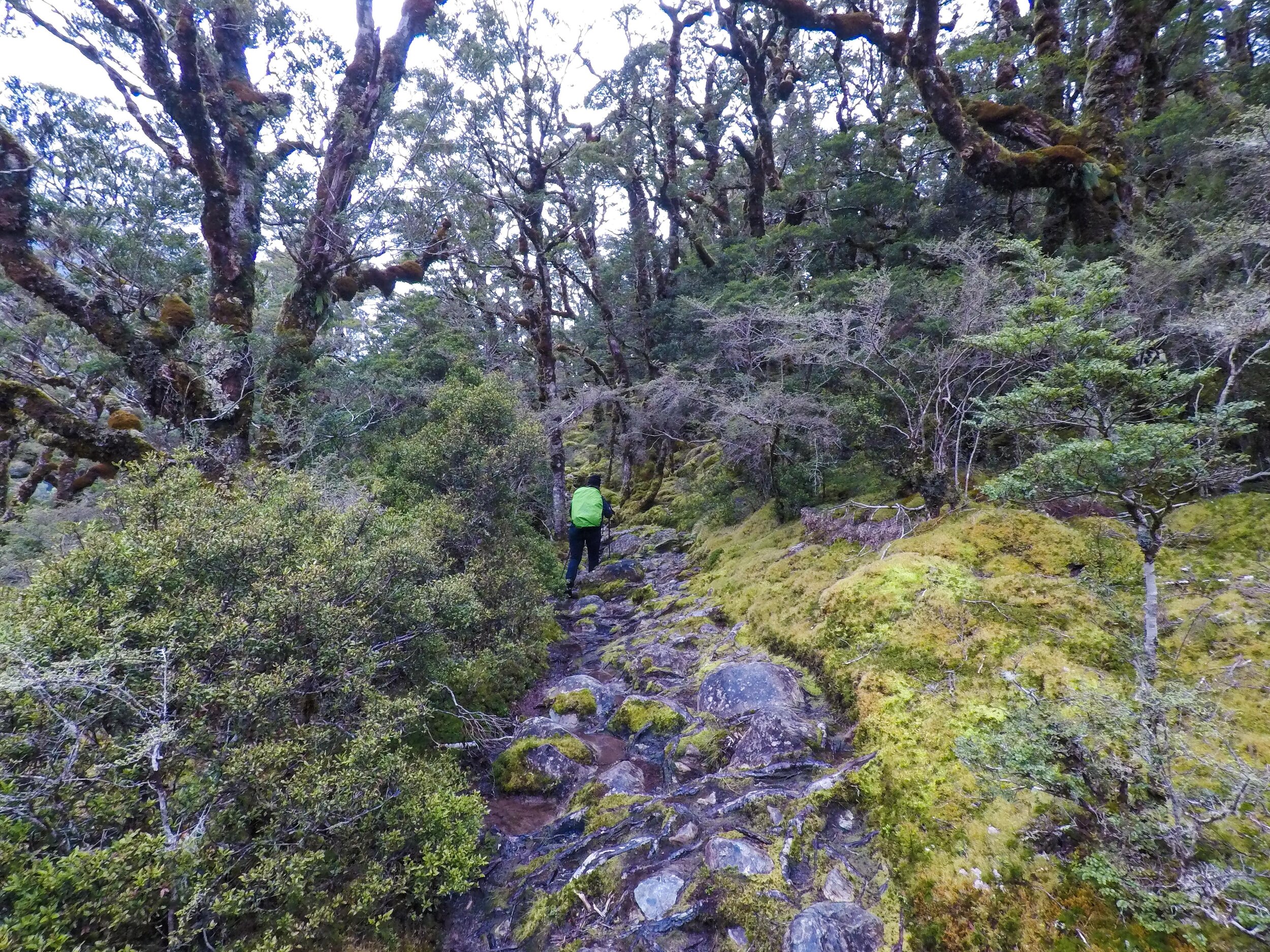
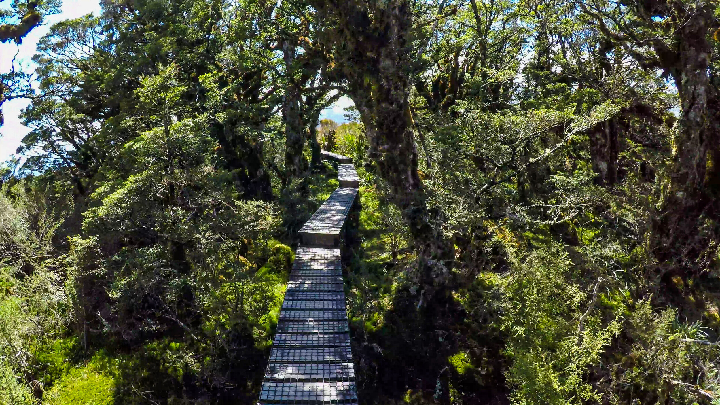
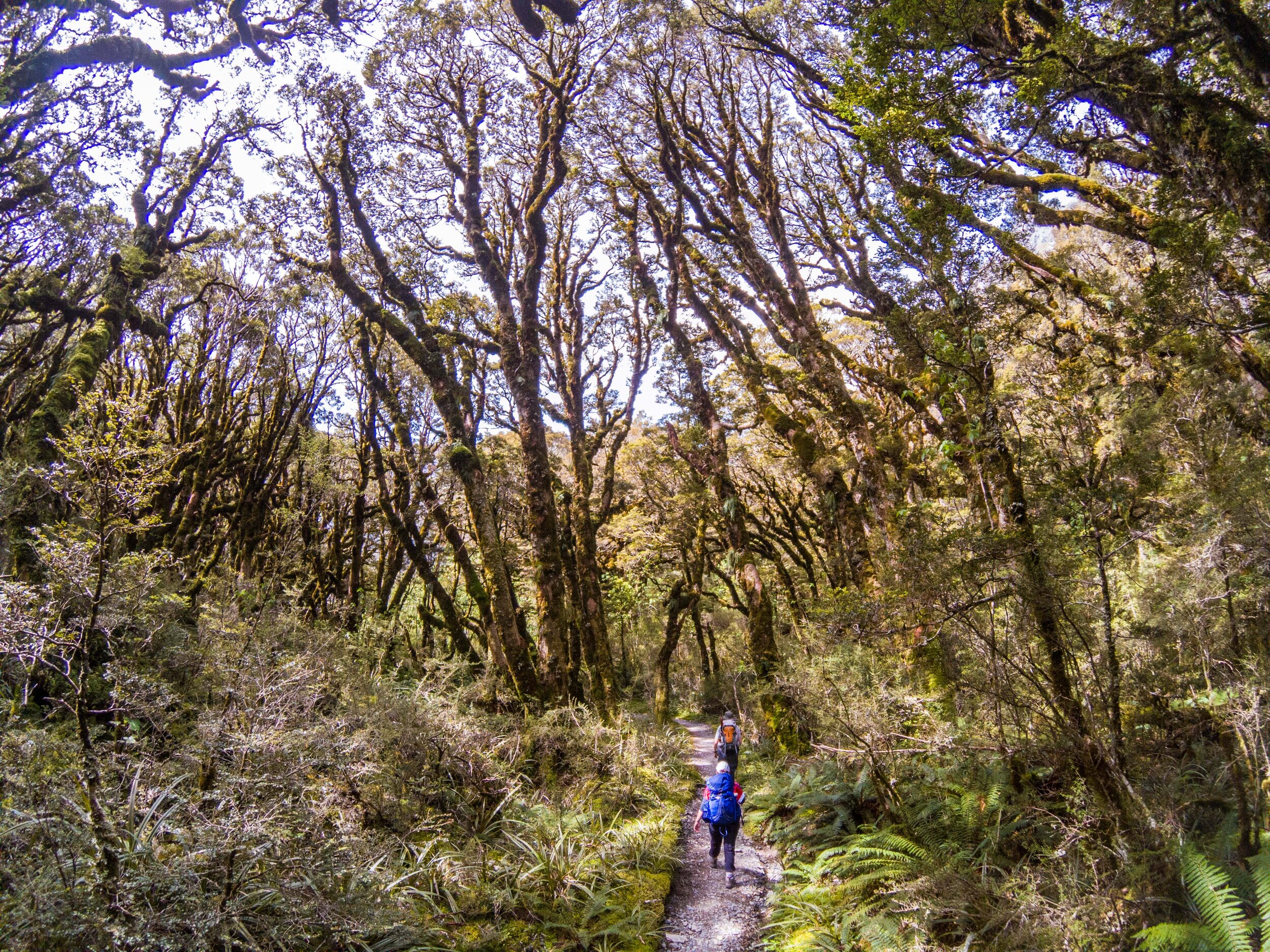
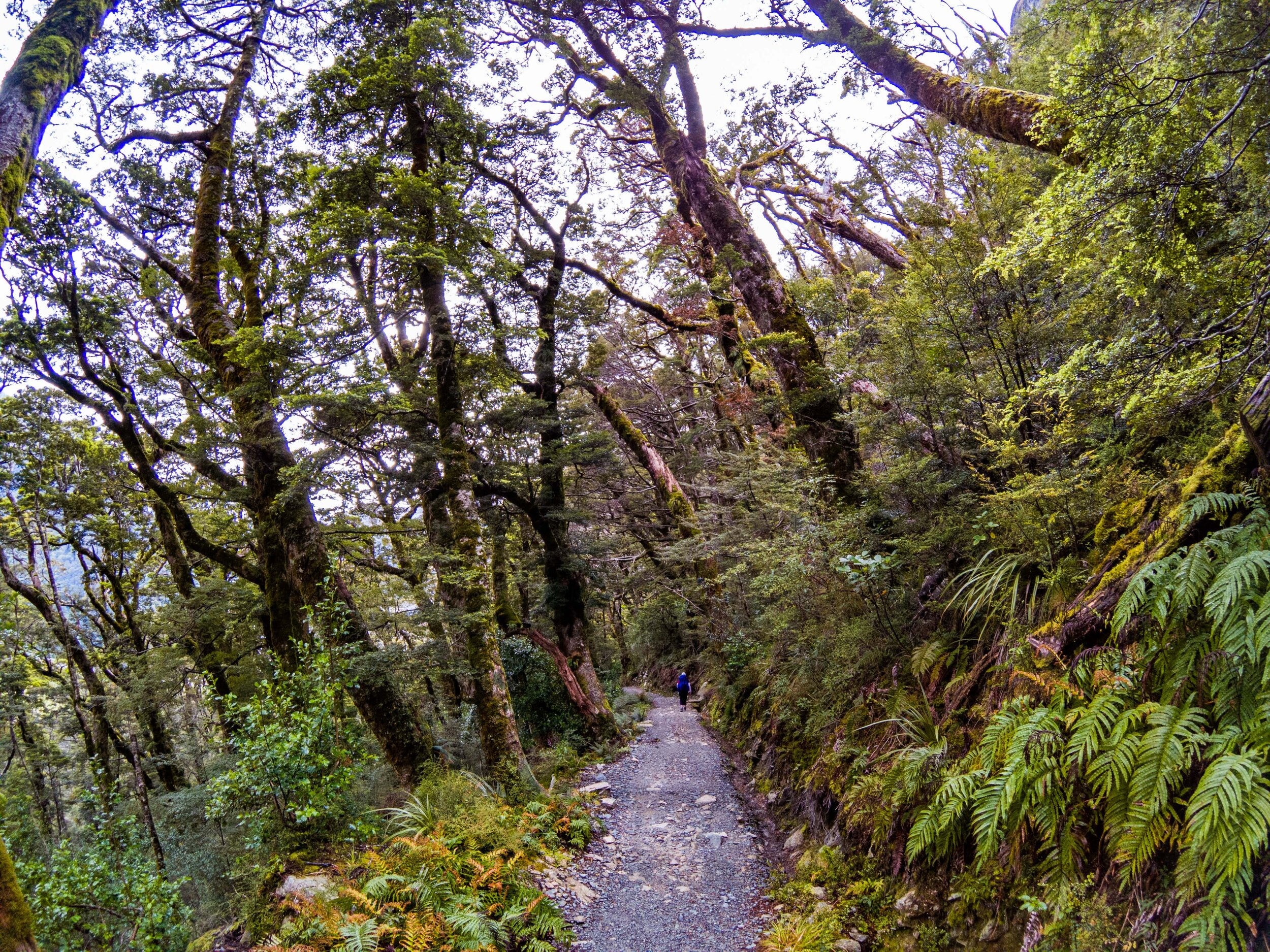
The path dipped in and out of patches of ancient twisted woodlands. 

Grand Traverse 2-2.jpg
       
     
Crossing dry a riverbed
       
     
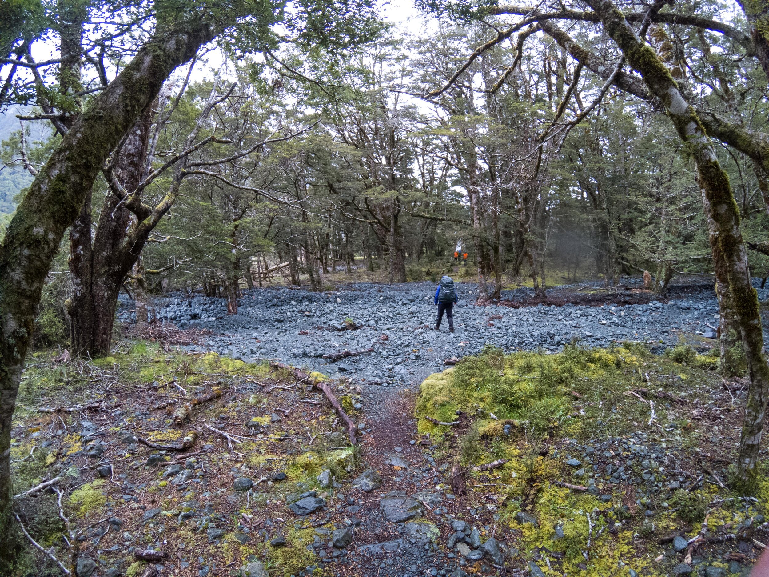
Crossing dry a riverbed
Arriving at Mckellar
       
     
Arriving at Mckellar
and relax...
       
     
and relax...
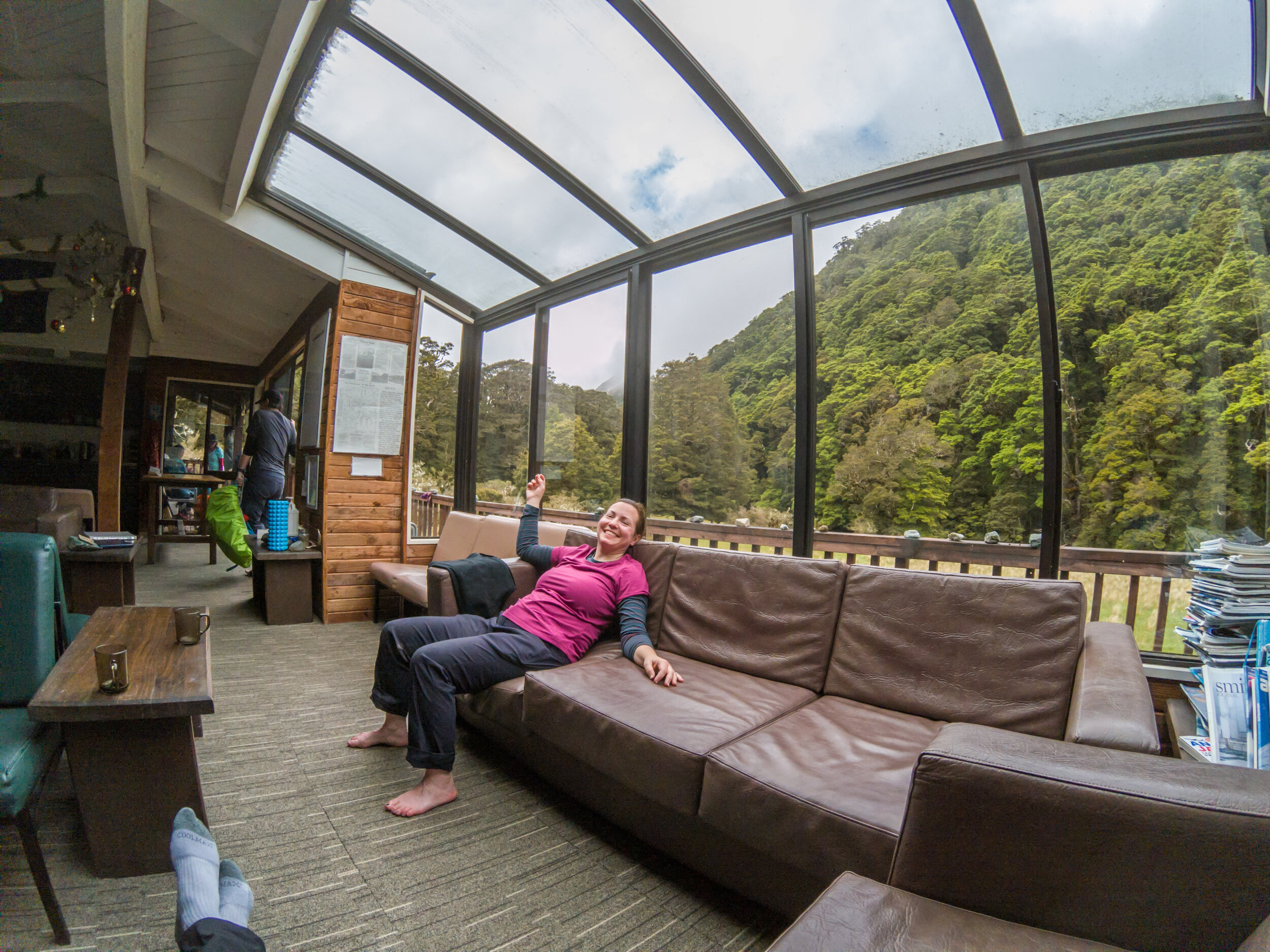
Mckellar Lodge
       
     
Mckellar Lodge

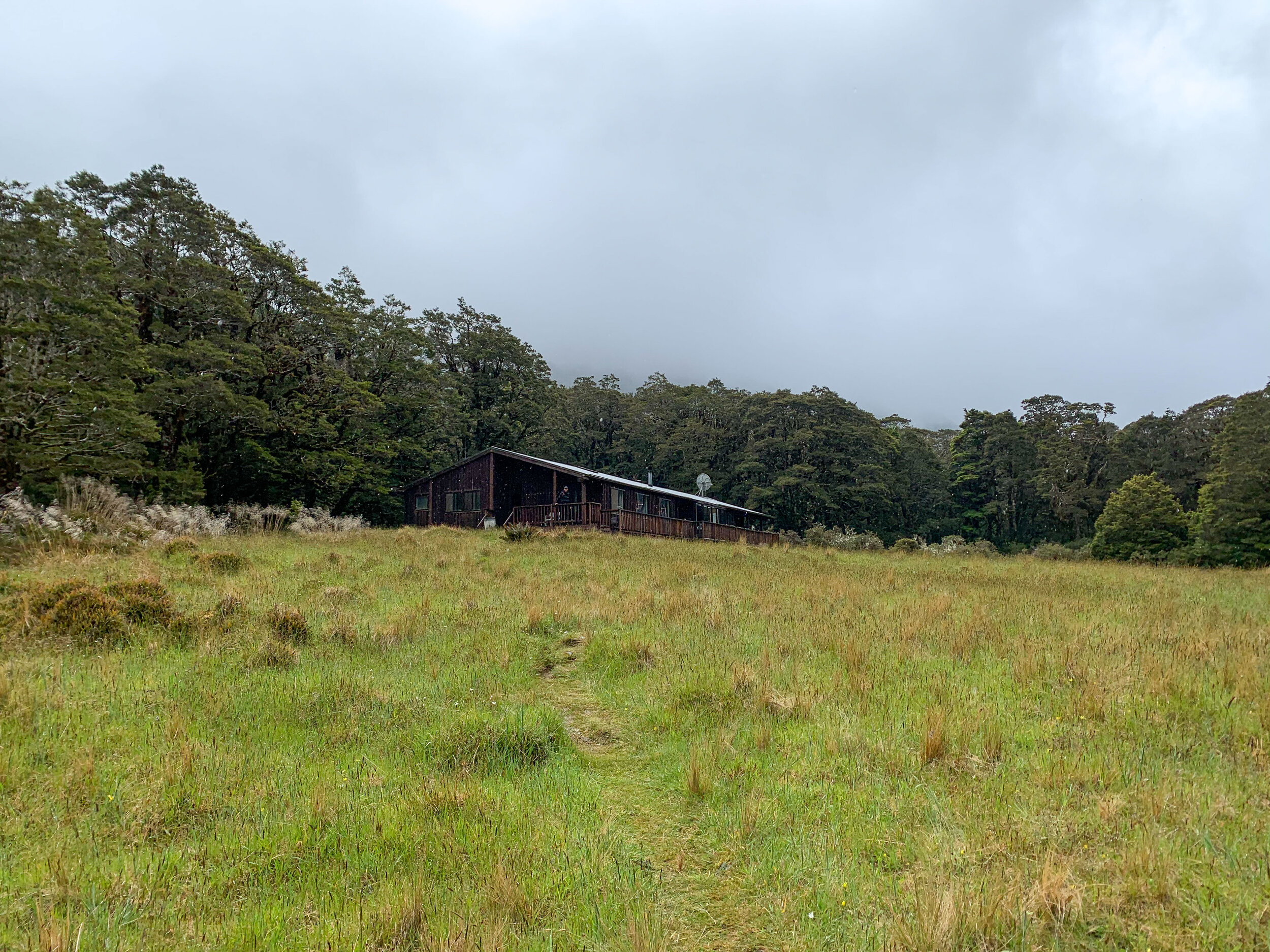
We would spend two nights here in bunk rooms of 4. There was a large drying room at the back for wet gear. 

Mckellar Lodge
       
     
Mckellar Lodge
Day 3 - rest day
       
     
Day 3 - rest day

No rest for the wicked! With perfect weather we followed guides Matt & Pip up to the Lookout. Matt was in training for an army competition and filled his massive pack with potatoes.

Breaking the tree line
       
     
Breaking the tree line

Straight up for 45-60mins. We break the tree line. 

The Lookout
       
     
The Lookout

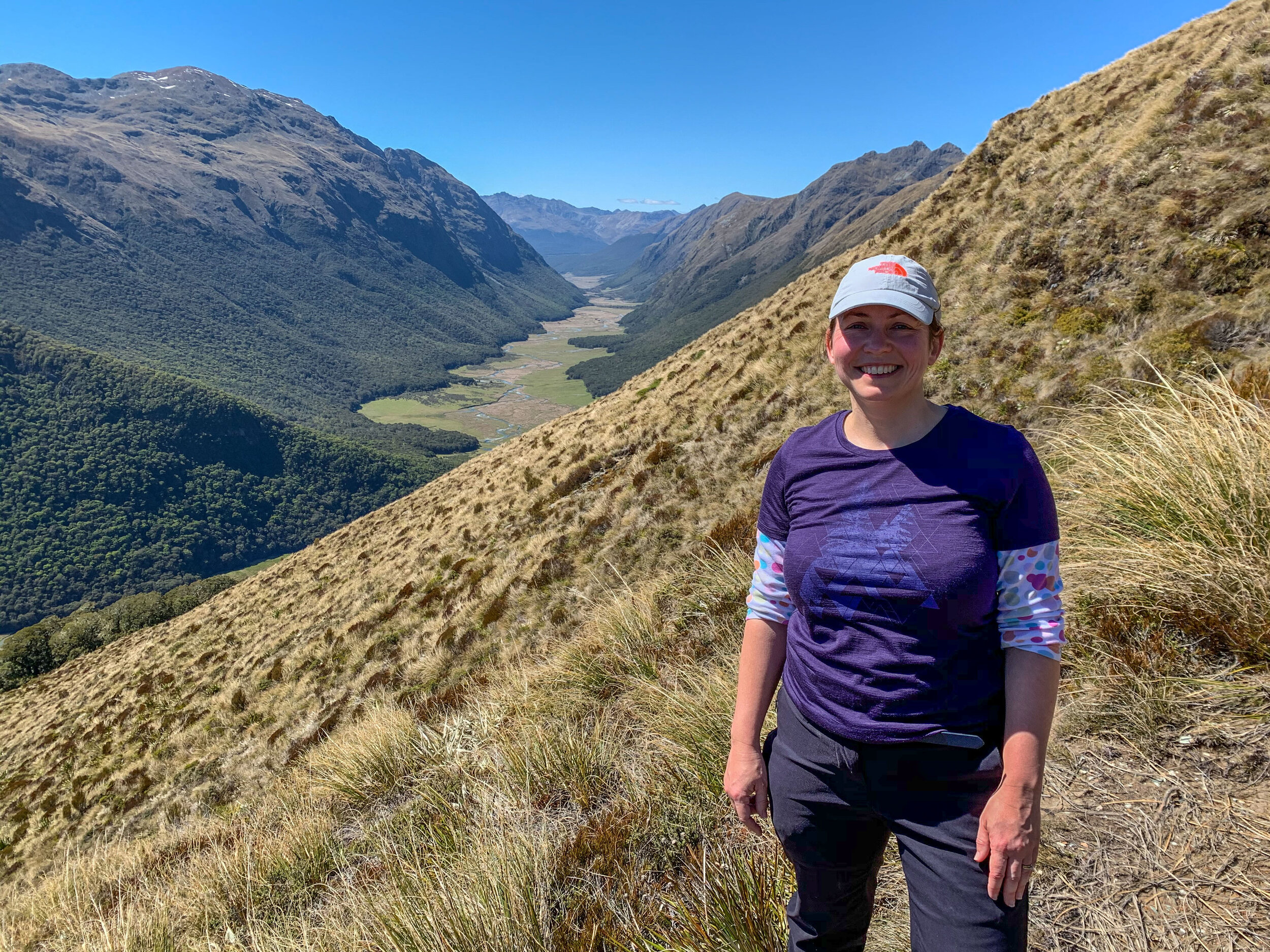
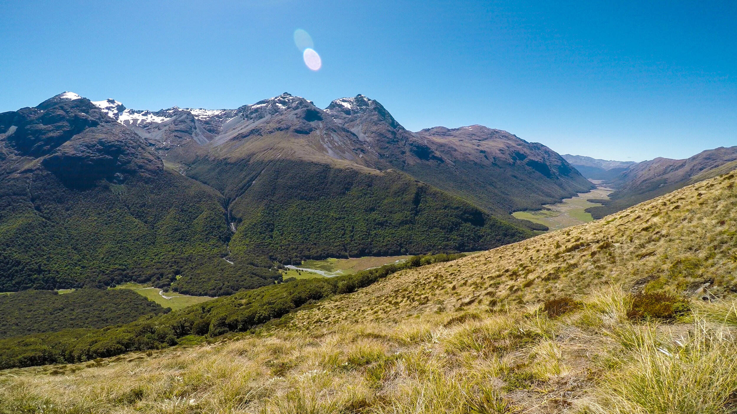
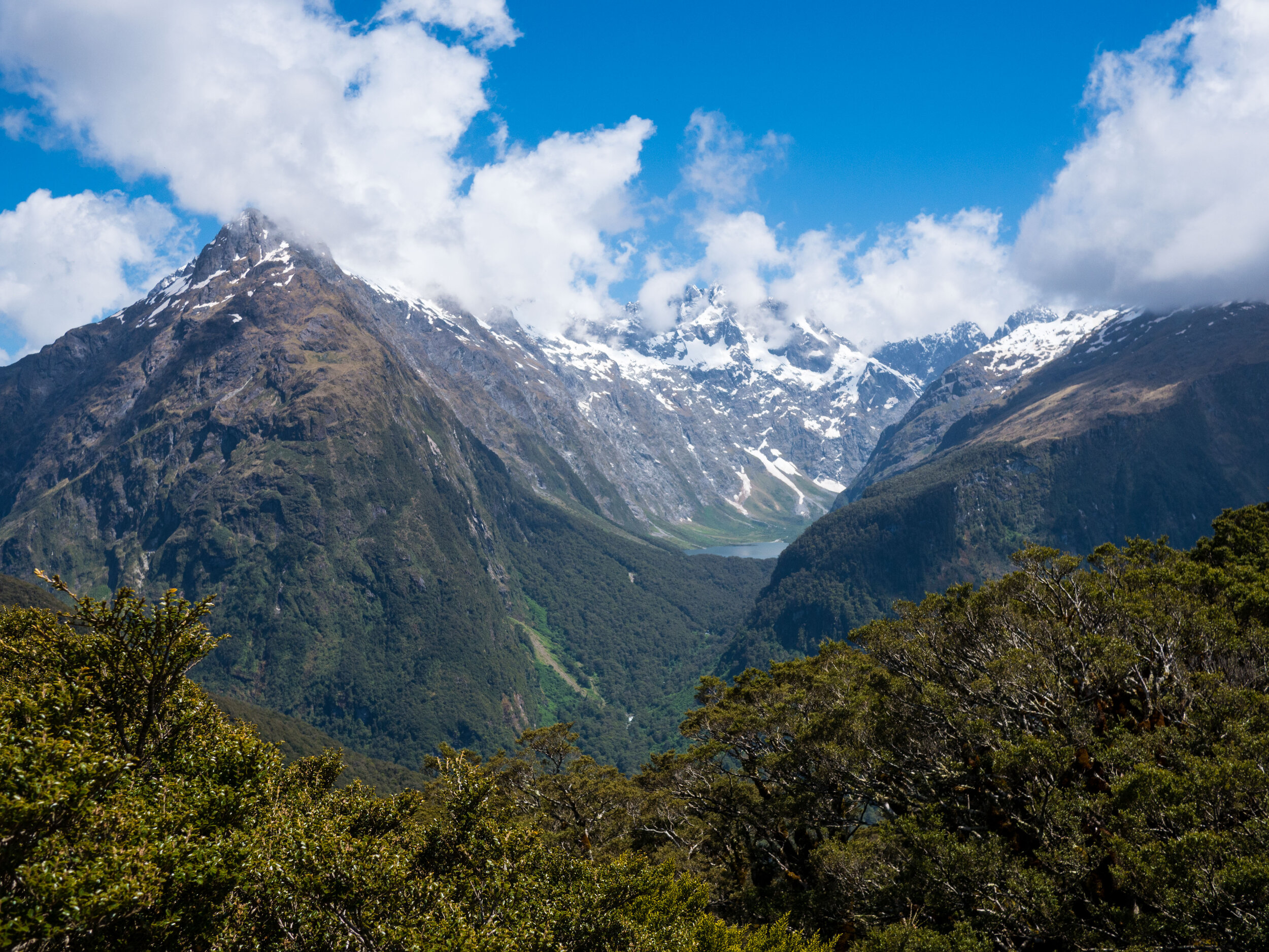
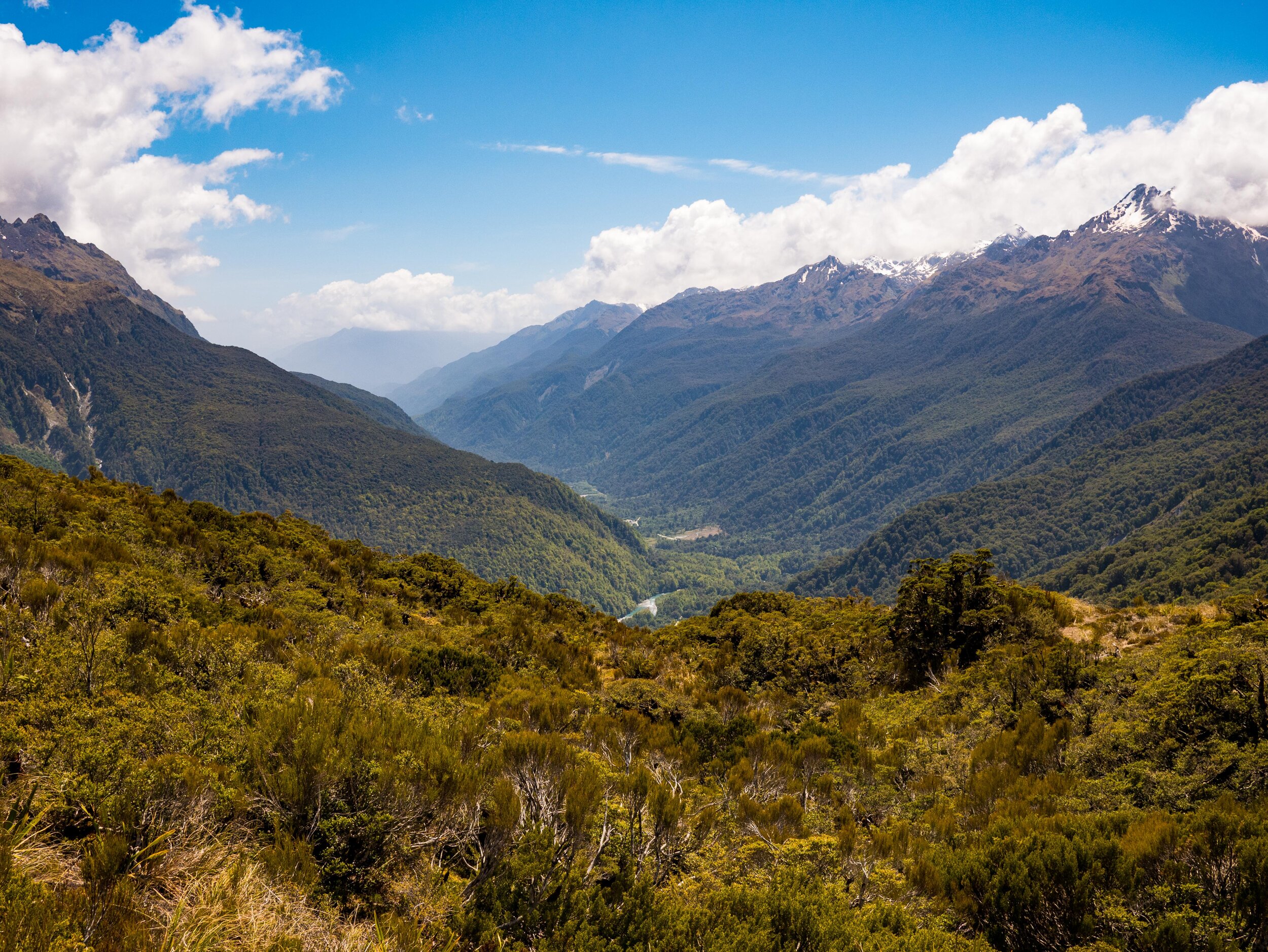
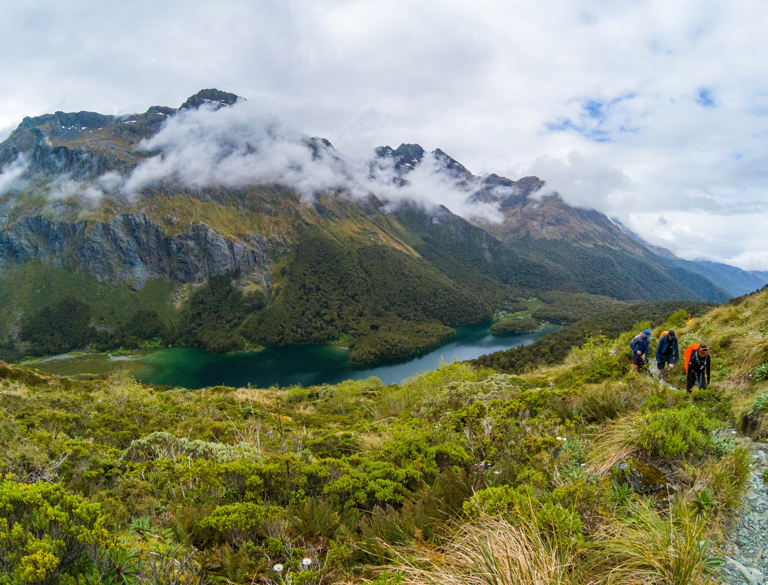
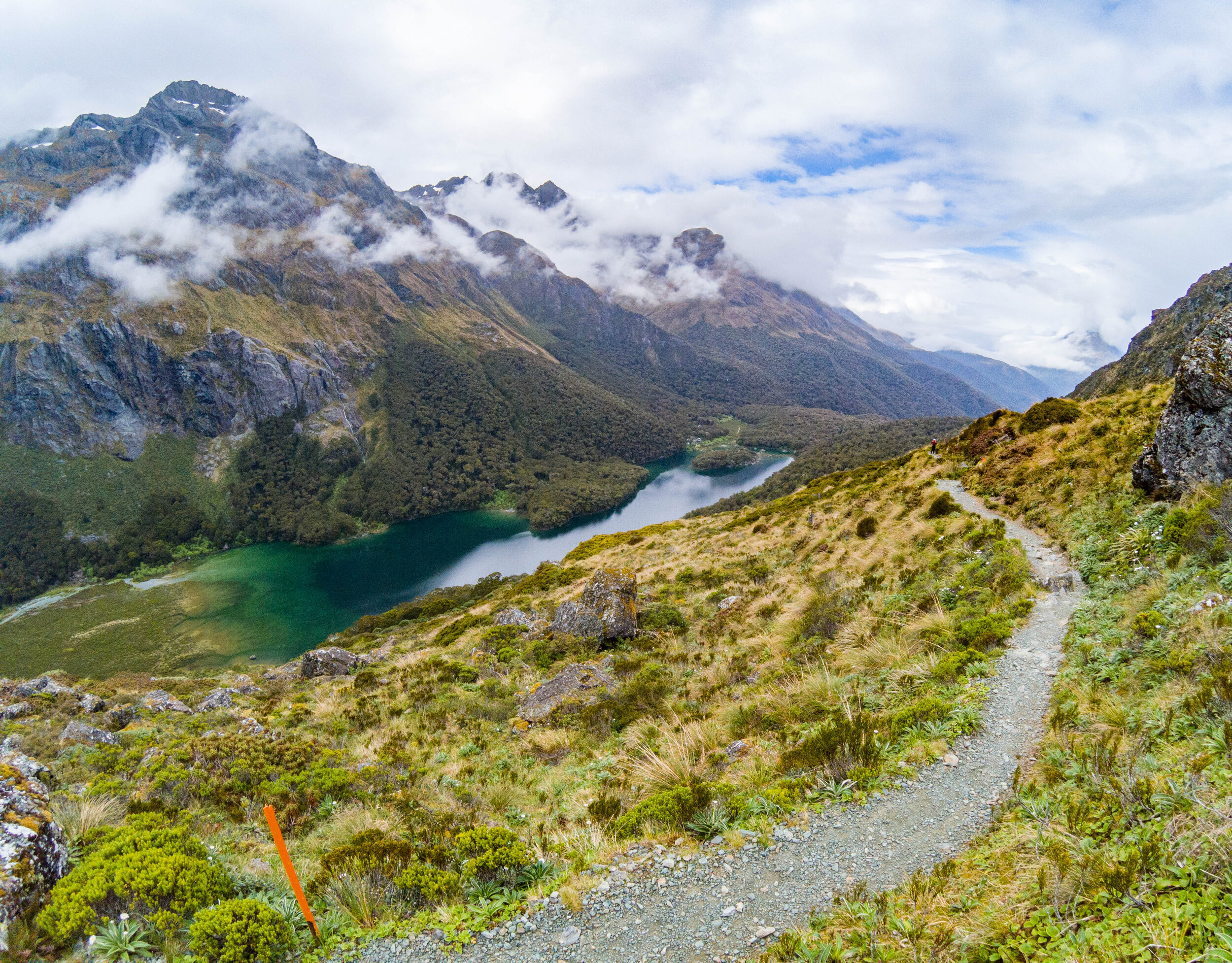
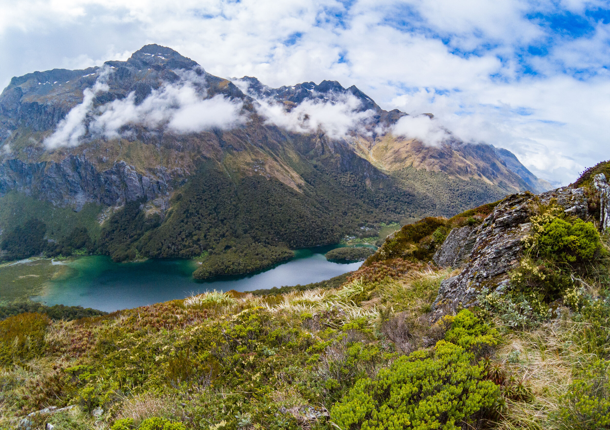
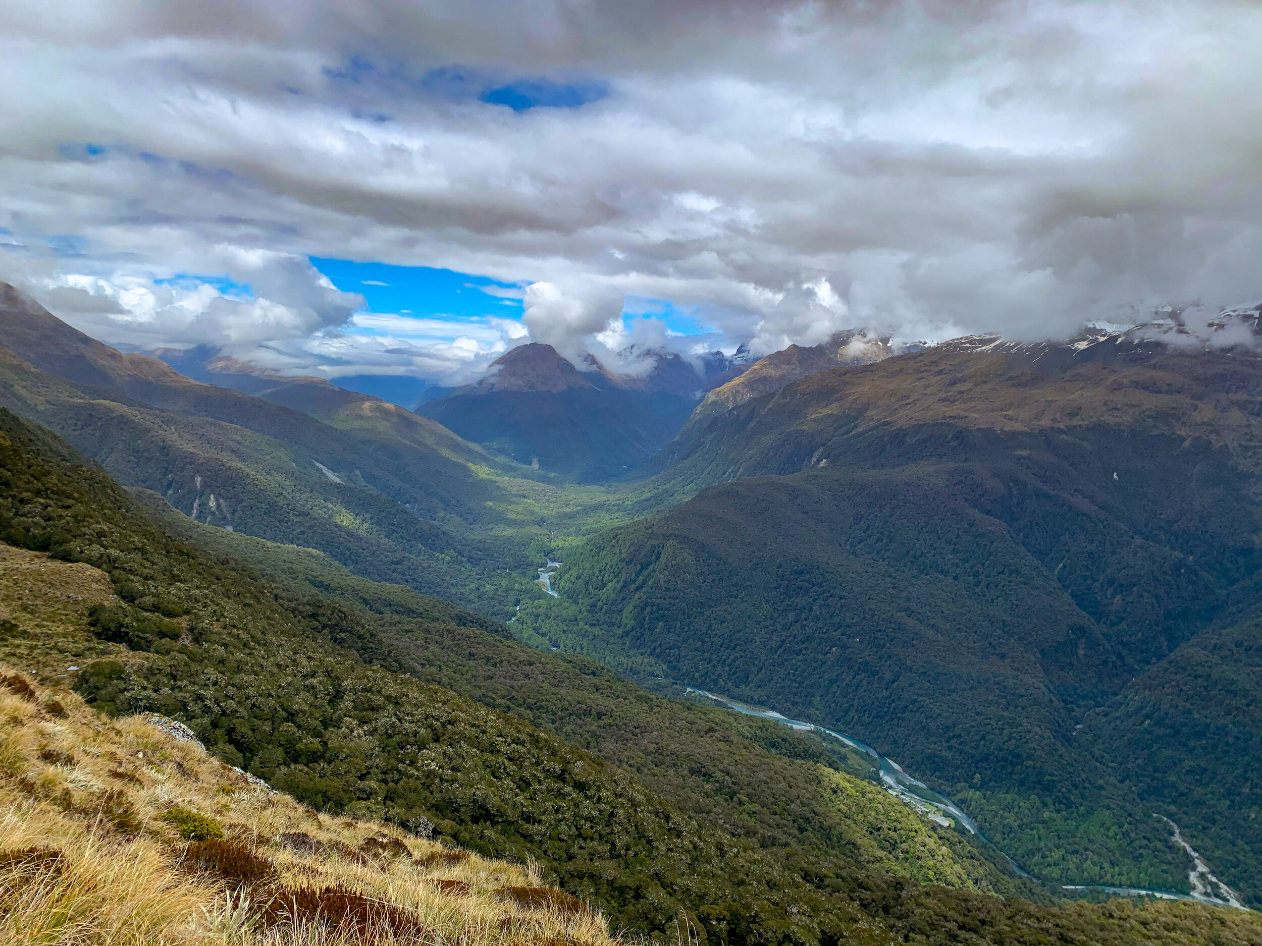
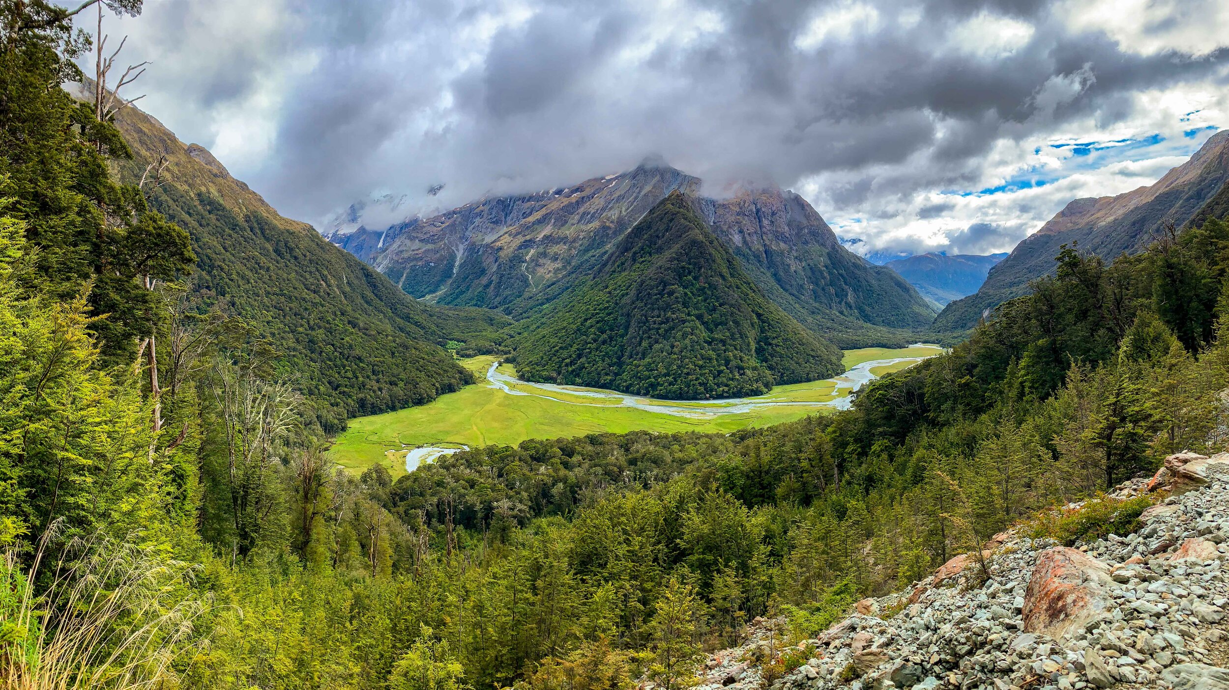
The view back down the Greenstone Valley where we spent the past two days.  

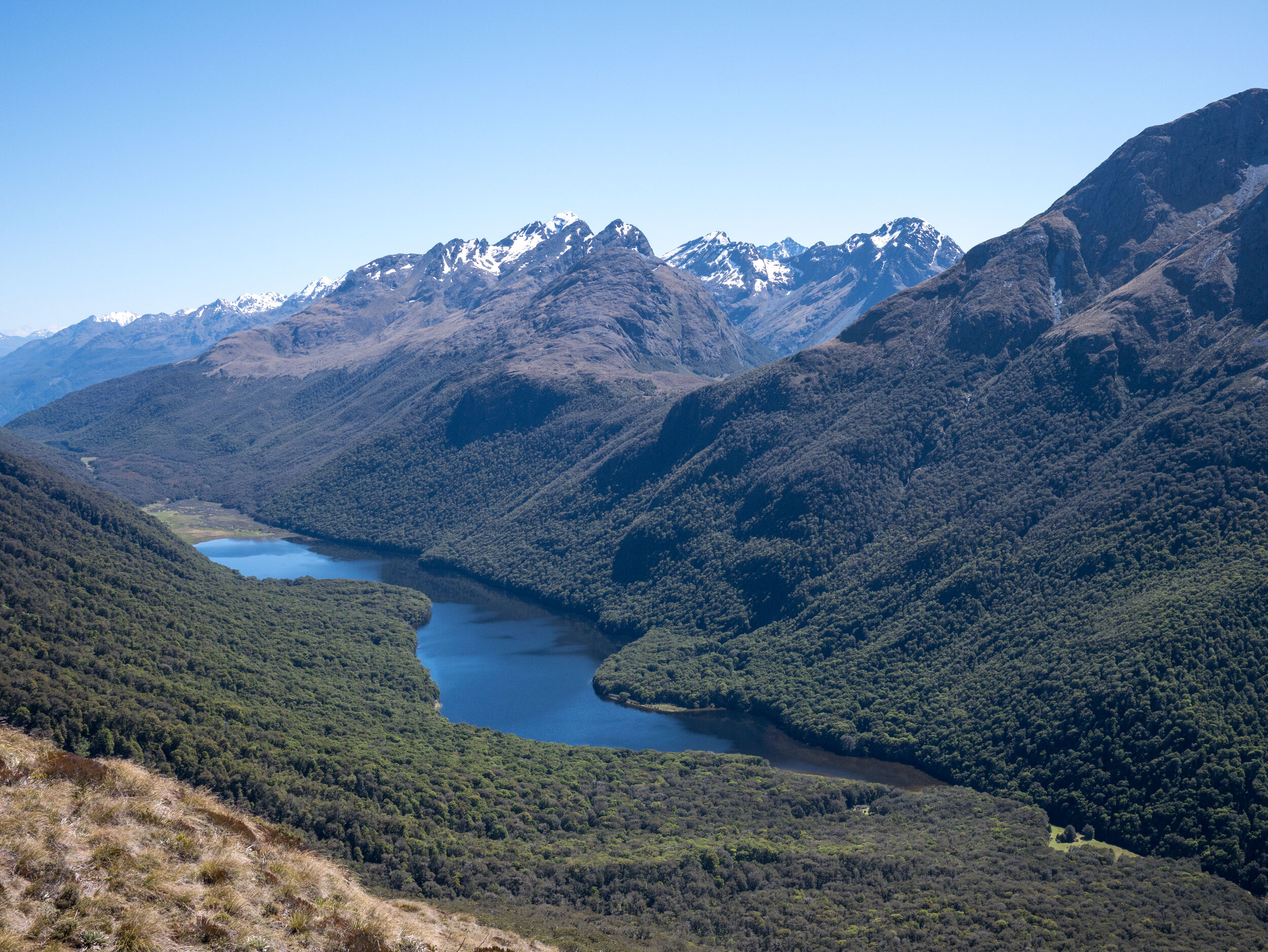
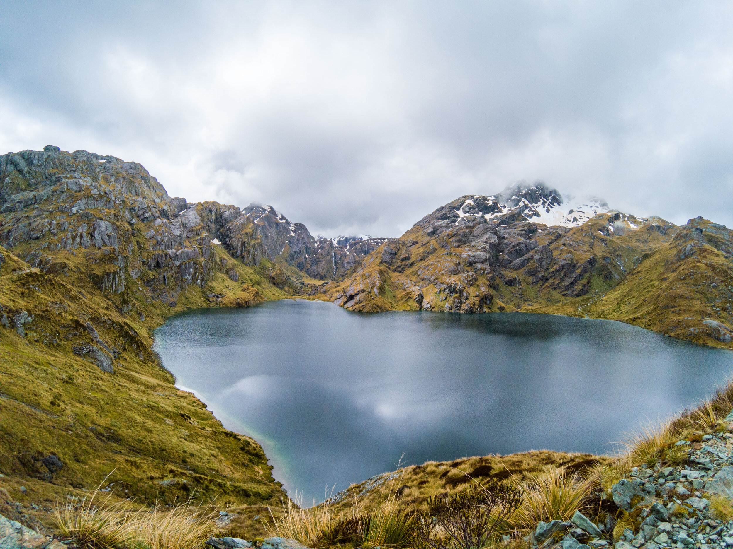
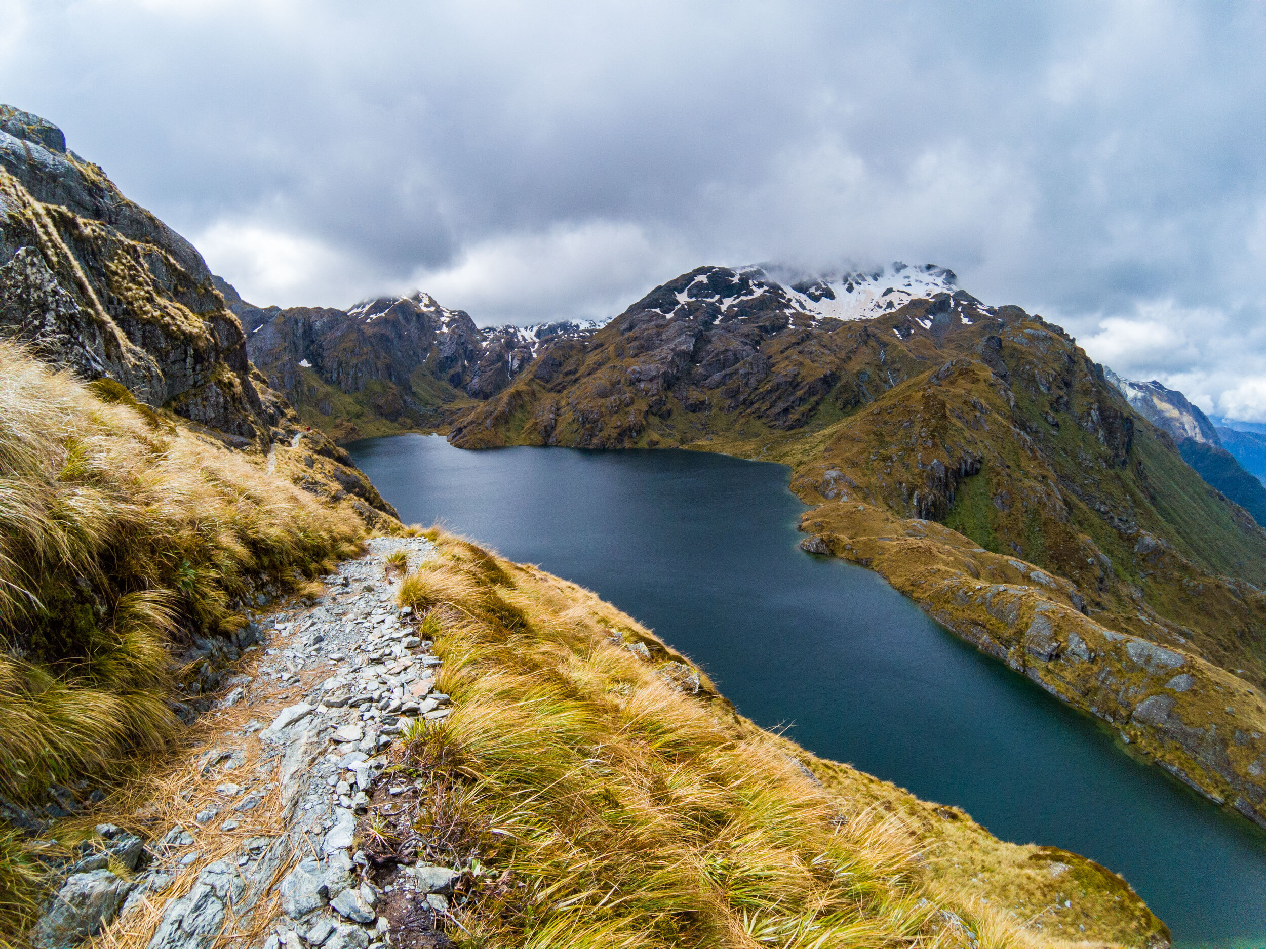
Lake Mckellar
       
     
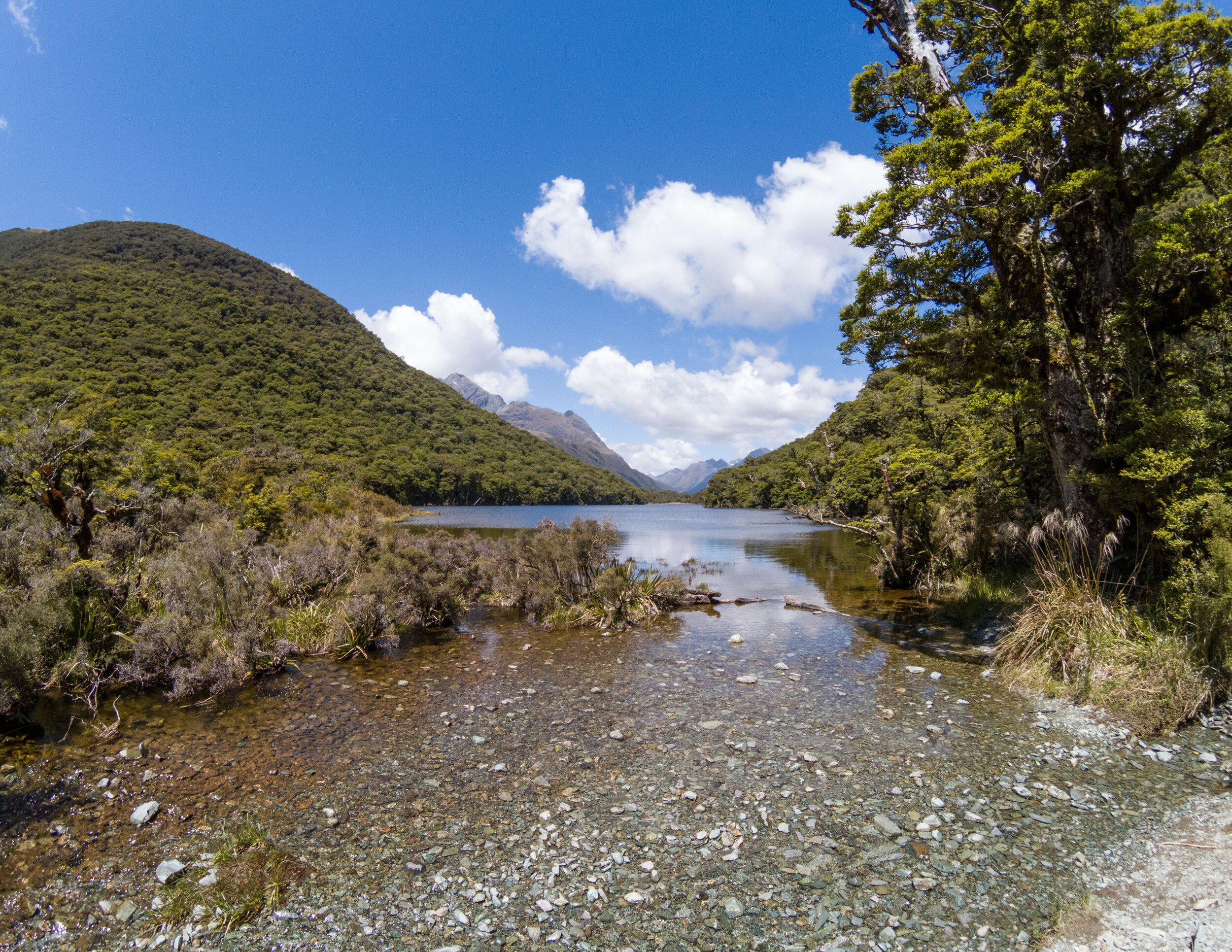
Lake Mckellar

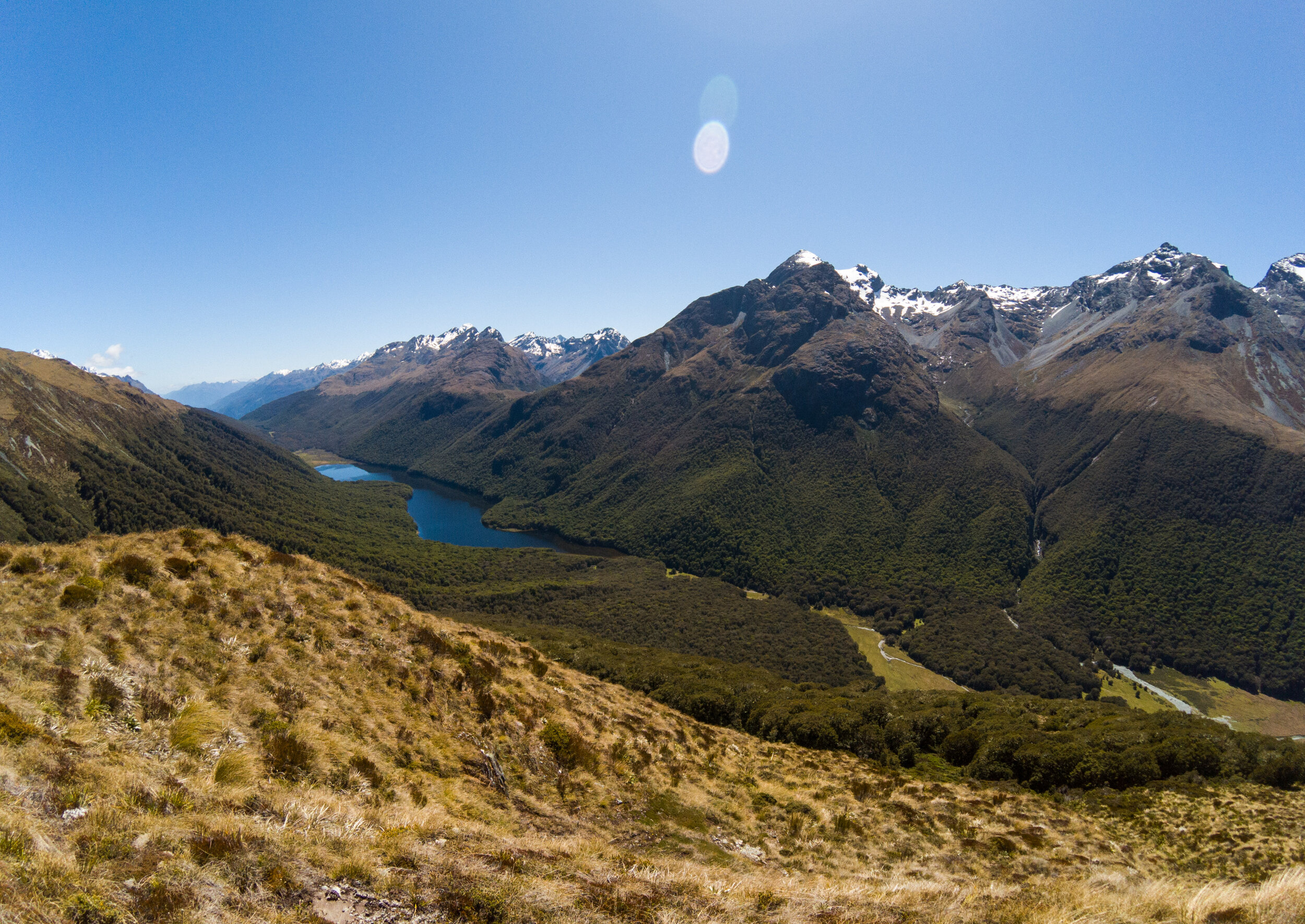
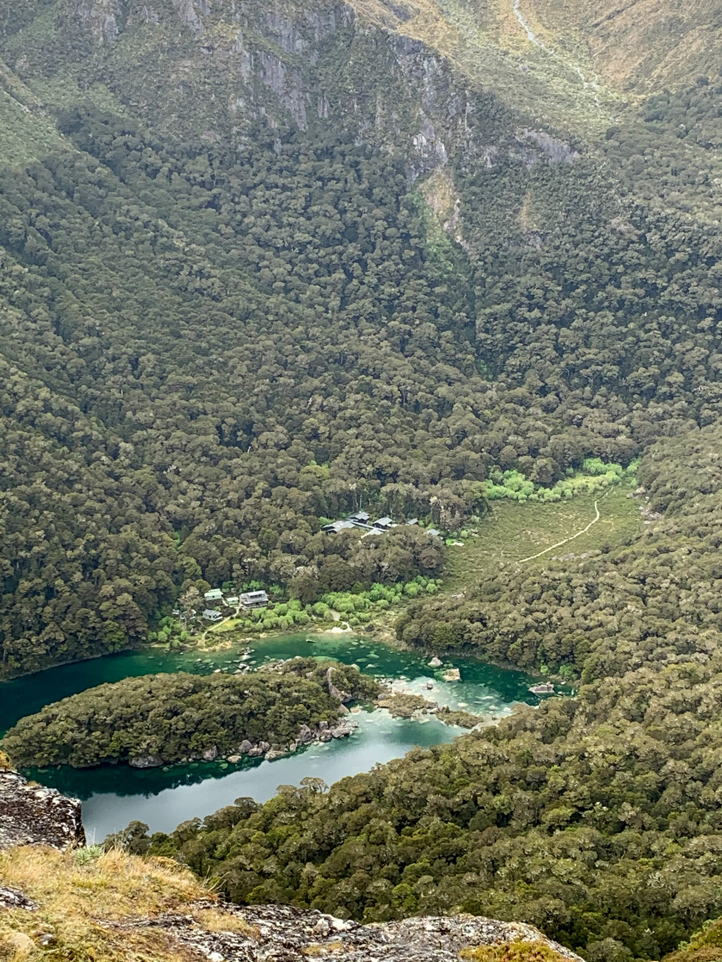
Tomorrow would take us along Lake Mckellar into Fiordland National Park. Our hut, where we spent last night & tonight, is in the tiny clearing bottom right. 

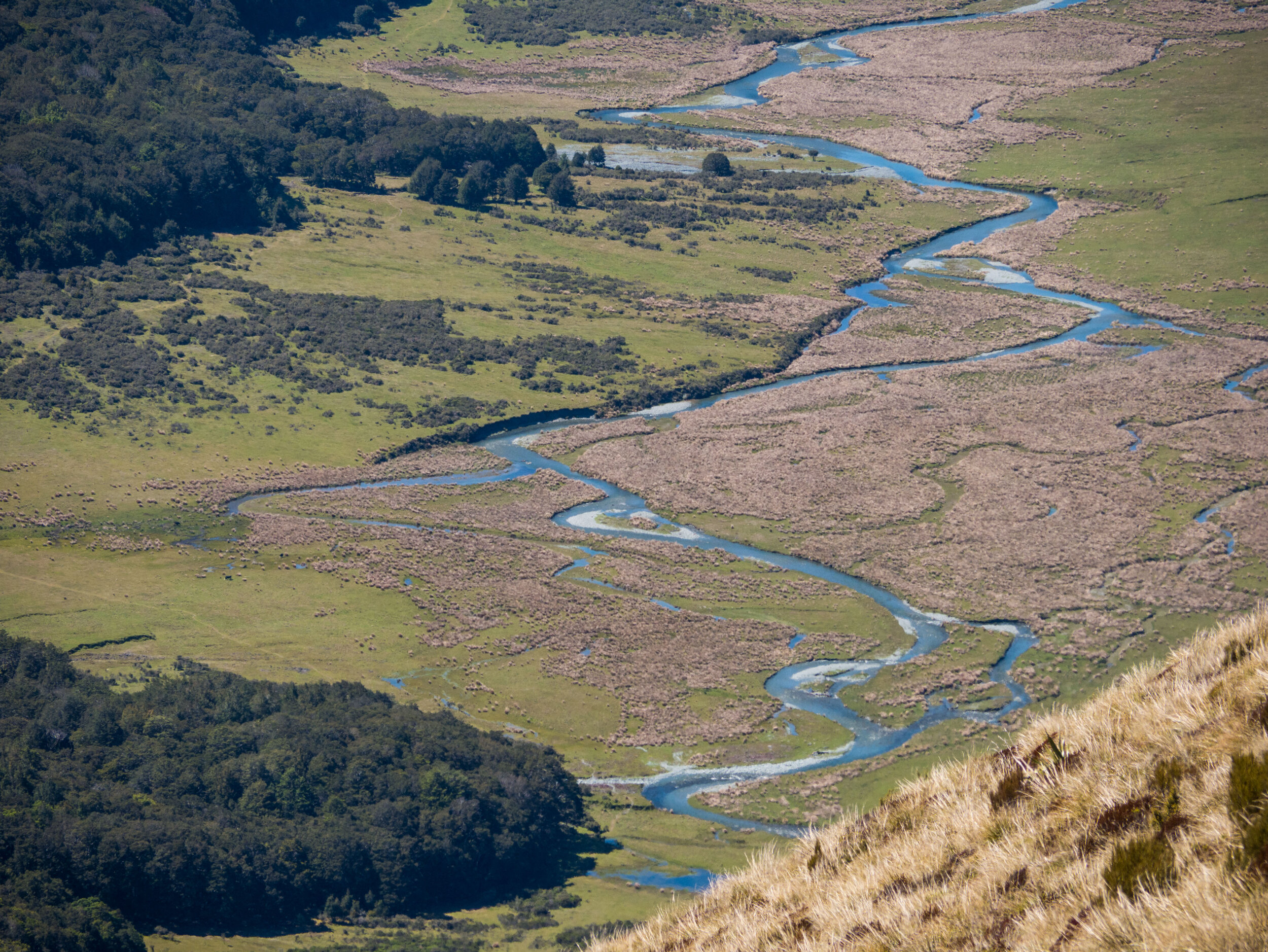
Greenstone Track
       
     
Greenstone Track

You can just make out our path to the left of the river. 

Grand Traverse-34.jpg
       
     
The Lookout
       
     
The Lookout

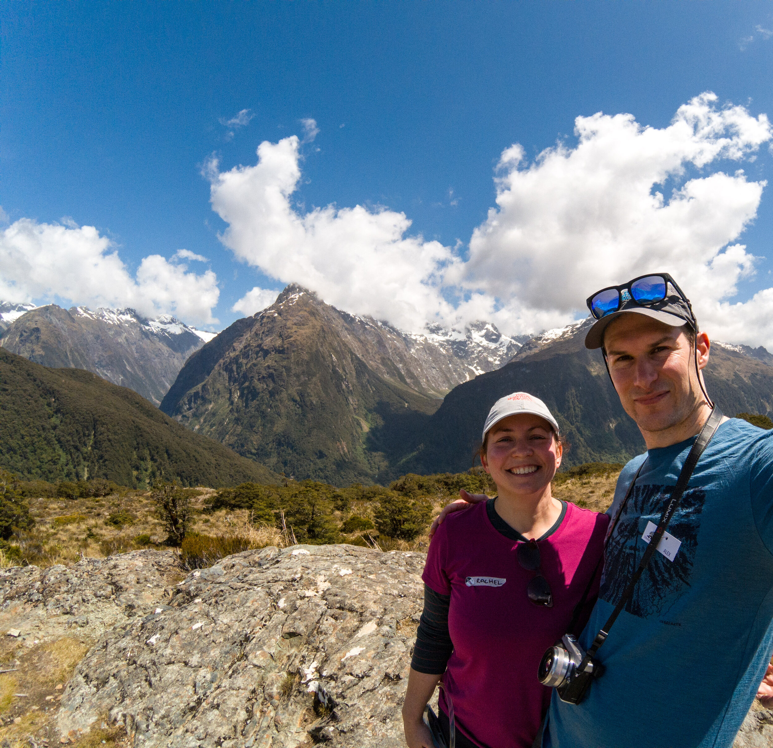
All the mountains are over 2000m

The Lookout
       
     
The Lookout
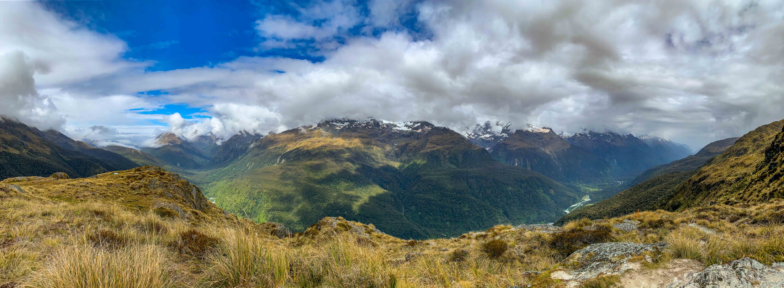
Panoramic view
       
     
Panoramic view

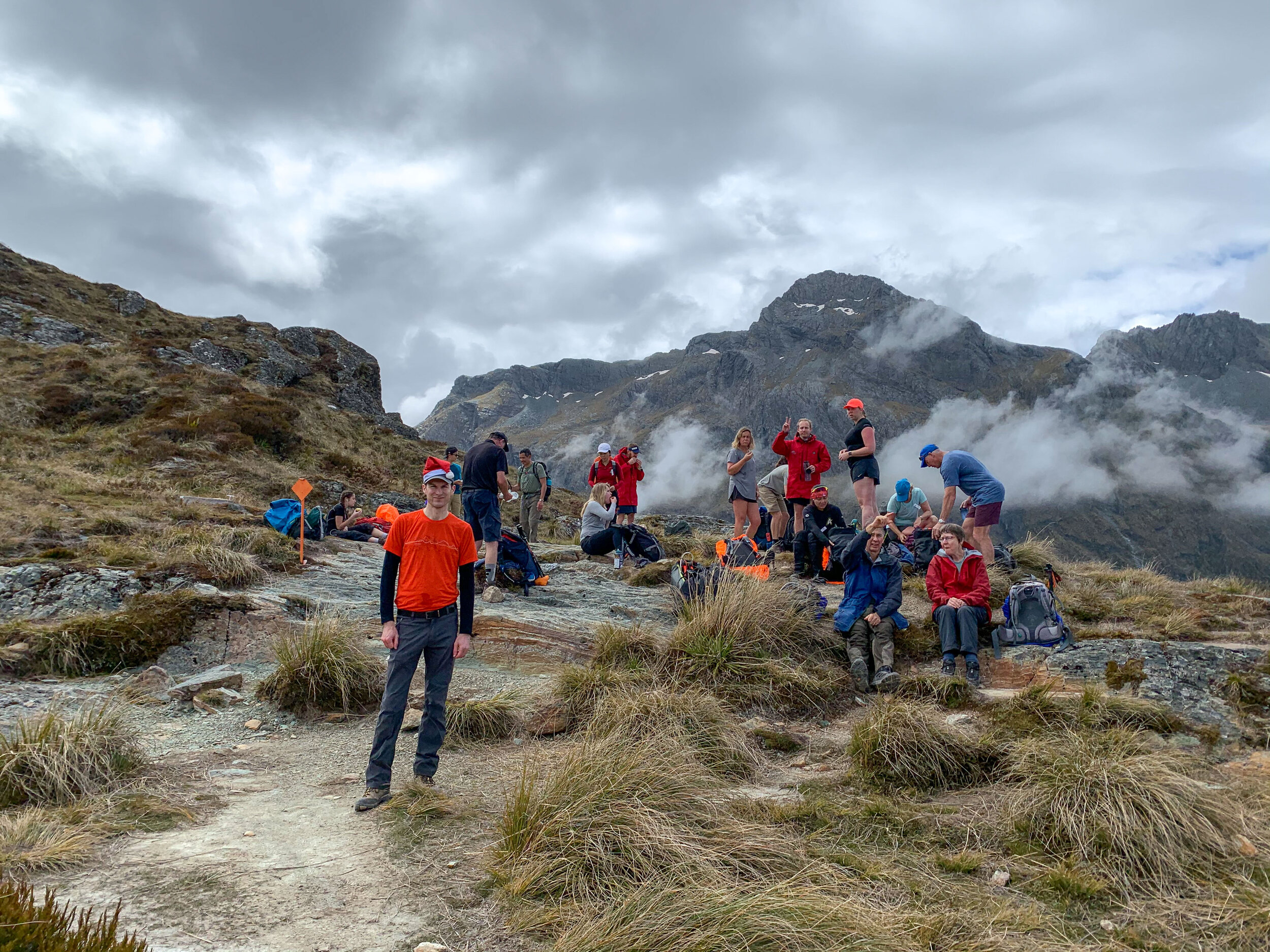
Matt (in red) regretting the potatoes. 

Descending through the forest
       
     
Descending through the forest
Mckellar Lodge
       
     
Mckellar Lodge

The Lookout is the clearing on the middle peak in this image. 

Southern skies - Orion
       
     
Southern skies - Orion
Southern skies
       
     
Southern skies

The Southern Cross and Eta Carinae Nebula just before midnight from Lake Mckellar. This was a single frame taken on a small tracking mount that follows earth’s rotation. 

Southern skies
       
     
Southern skies

The Large Magellanic Cloud, a small companion galaxy to our Milky Way. 

Day 4 - into Fiordland
       
     
Day 4 - into Fiordland
National Park
       
     
National Park

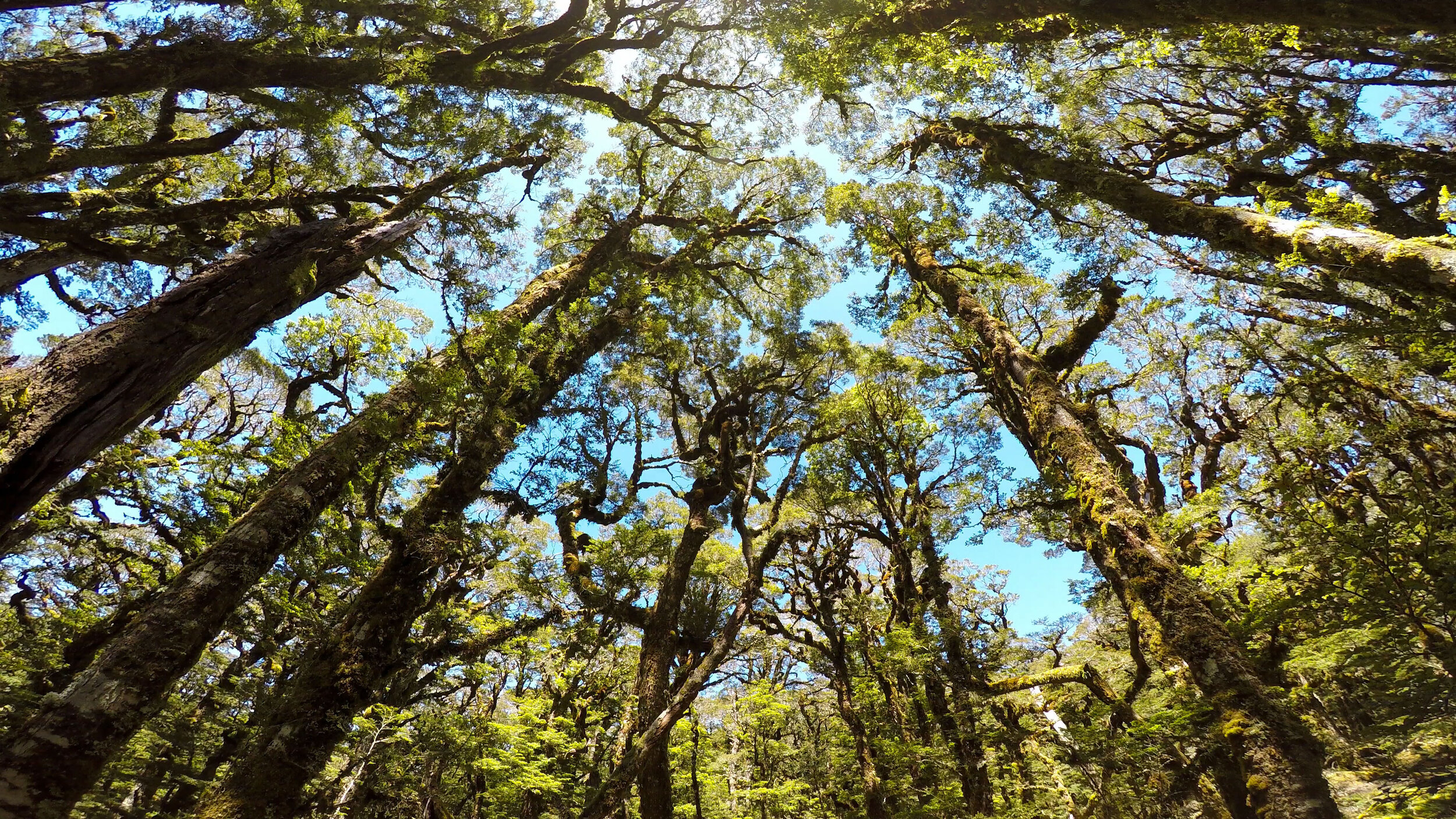
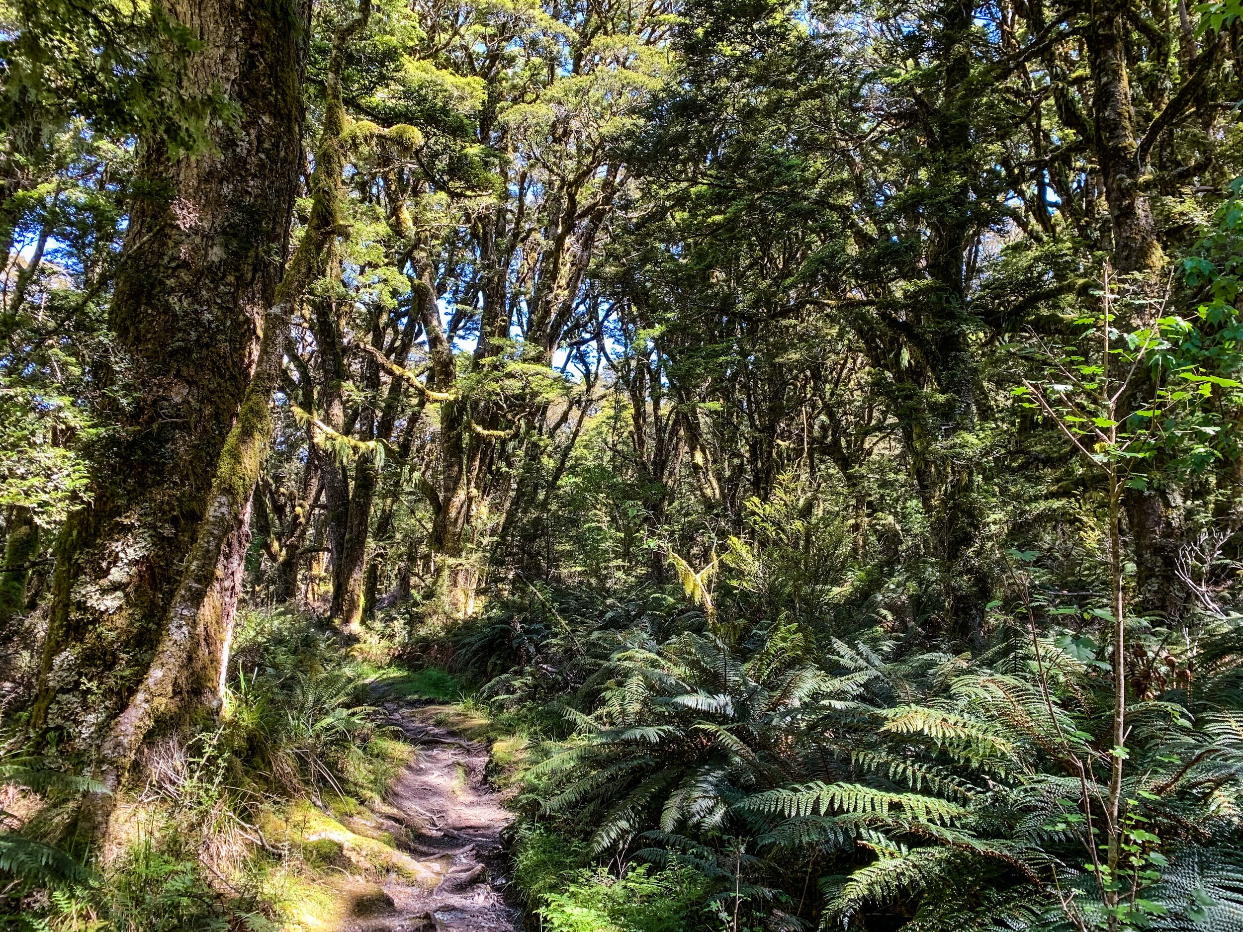
Photography is no substitute for the beauty of these forests. 

Lake Mckellar
       
     
Lake Mckellar
Gentle rise to Howden Hut
       
     
Gentle rise to Howden Hut
Top of Lake Mckellar
       
     
Top of Lake Mckellar
Offshoot to Key Summit
       
     
Offshoot to Key Summit

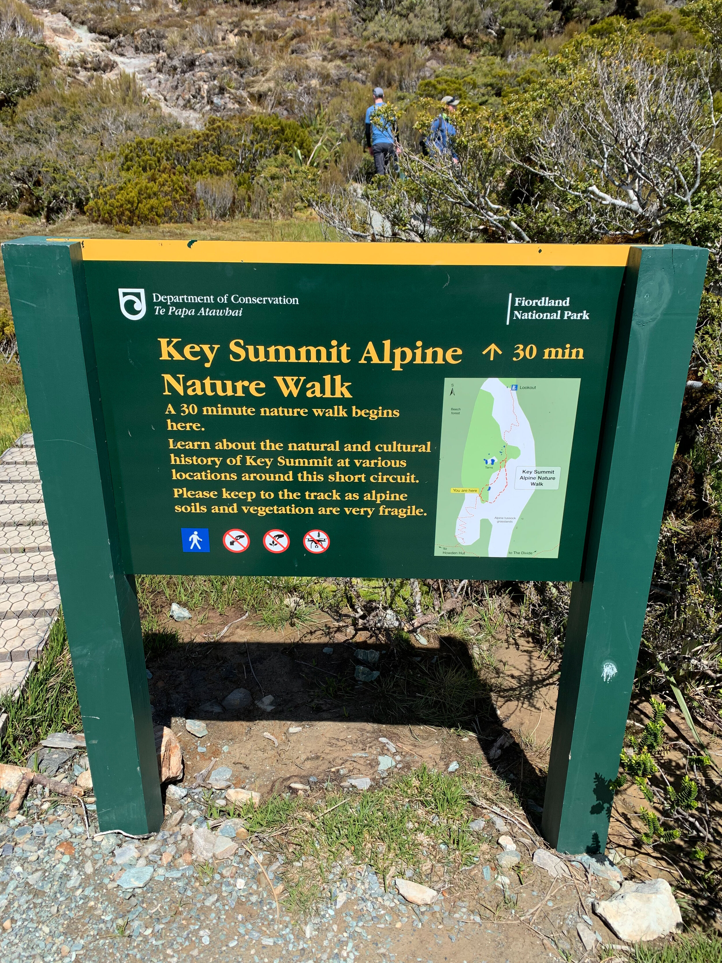
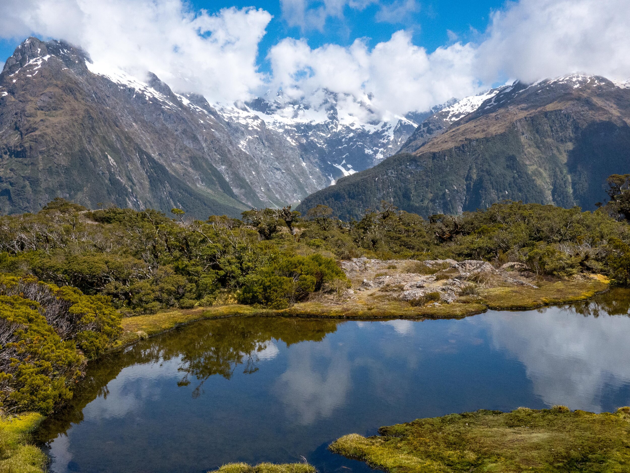
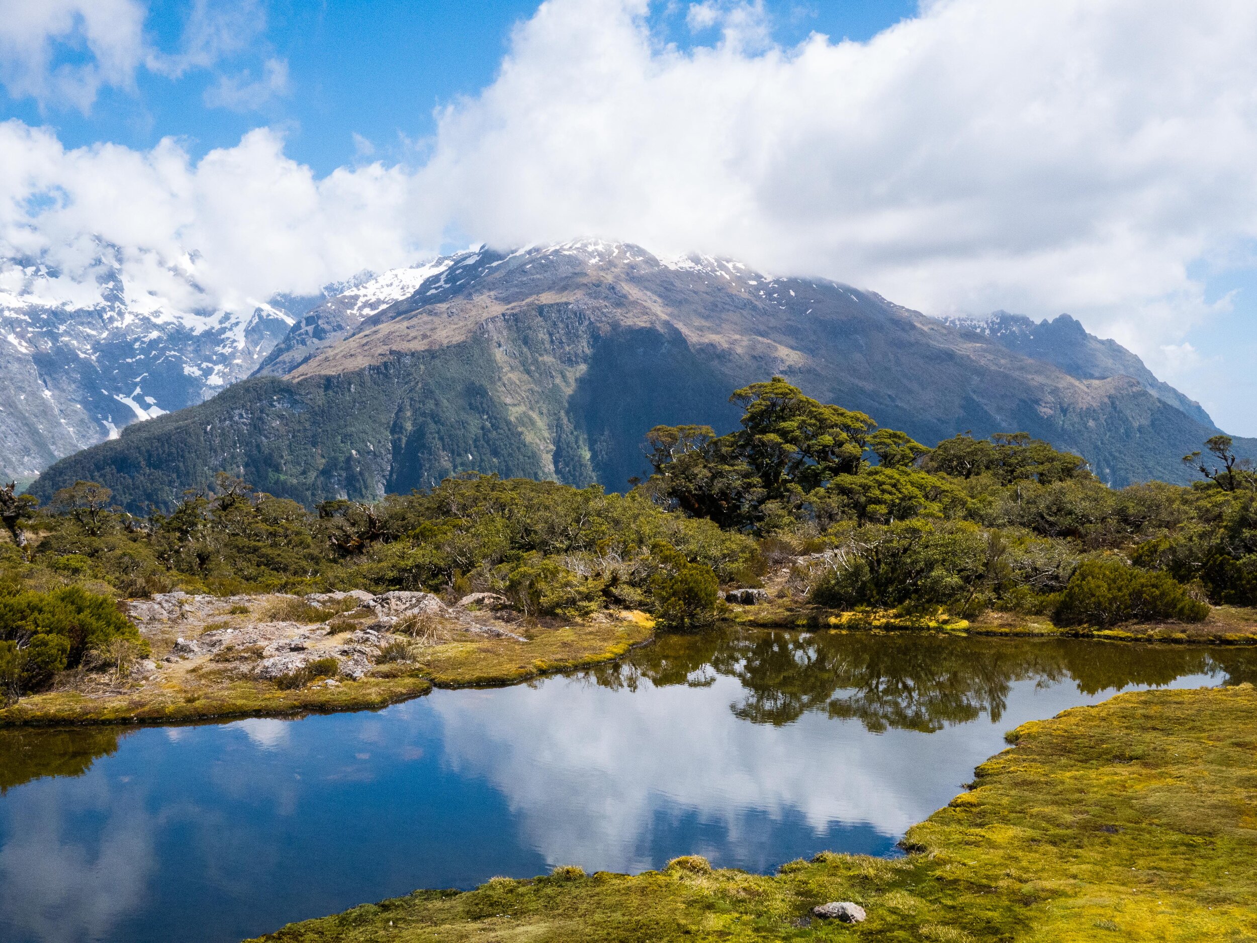
Leaving our packs at a Howden, we climbed up for around 30mins to Key Summit, a spectacular alpine plateau with nature walks and magical views. Today was Christmas Eve. 

Key Summit
       
     
Key Summit
Key Summit
       
     
Key Summit
Lake Marian
       
     
Lake Marian

Lake Marian is a classic hanging valley caused by a smaller glacier feeding into a larger one, leaving behind a small lake suspended in the mountains.

Hollyford Valley
       
     
Hollyford Valley

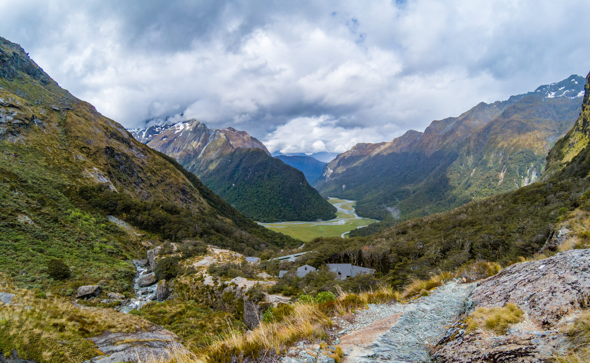
Our route today will traverse the right hand side of the mountains keeping the Hollyford on our left. We walked the Hollyford track in 2018.

Key Summit
       
     
Key Summit
Nature trail
       
     
Nature trail
Looking down the Hollyford Valley
       
     
Looking down the Hollyford Valley
Lake Howden
       
     
Lake Howden

Brief lunch stop here in Howden Hut by the lake. We stayed here in 2007 when we walk the Routeburn in the other direction. A few weeks after this terrible rain storms caused a huge land slip that almost wiped out the hut.

Up through the forest
       
     
Up through the forest
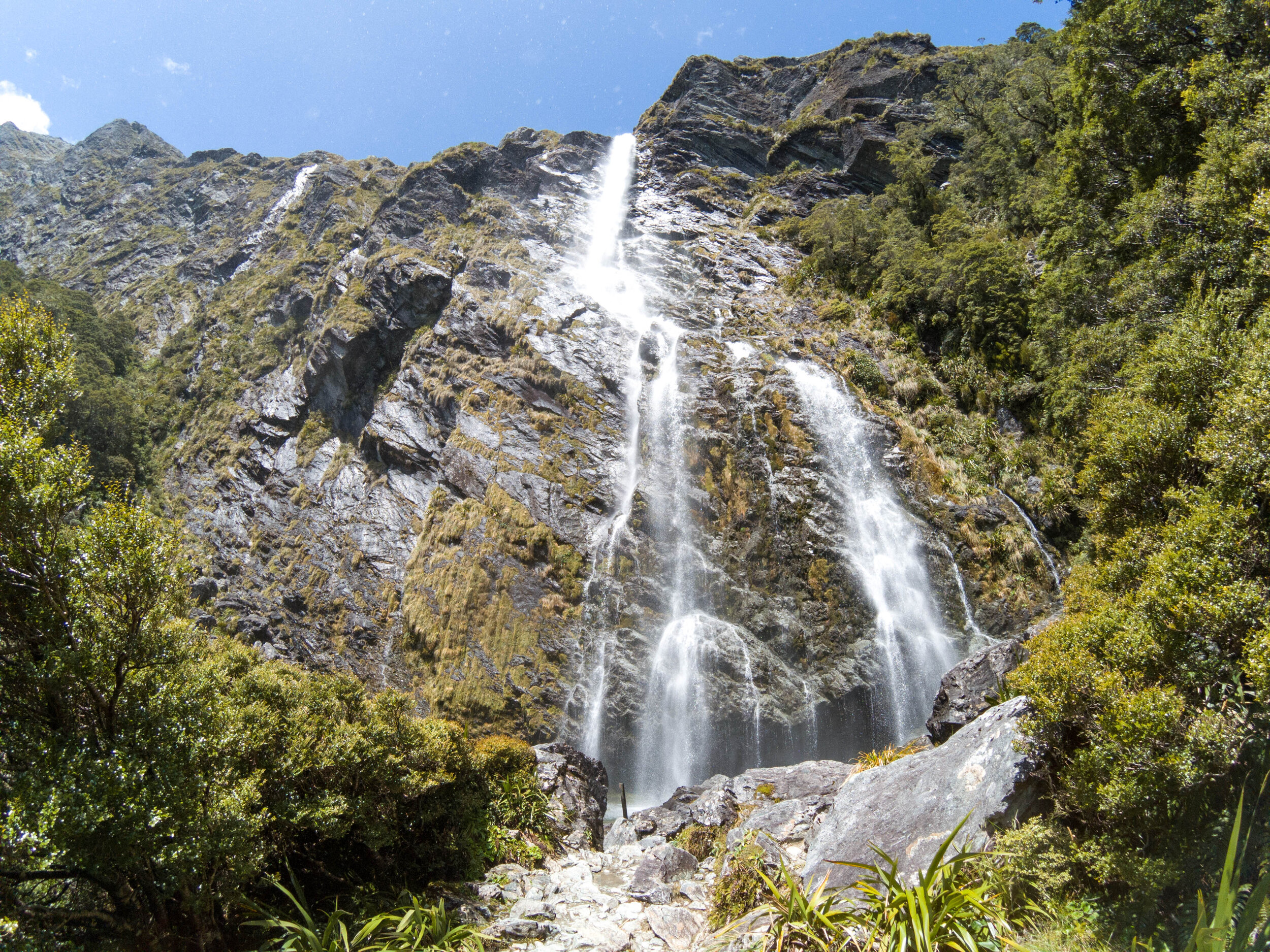
Earland Falls
       
     
Earland Falls
Earland Falls
       
     
Earland Falls
Earland Falls
       
     
Earland Falls
Earland Falls
       
     
Earland Falls
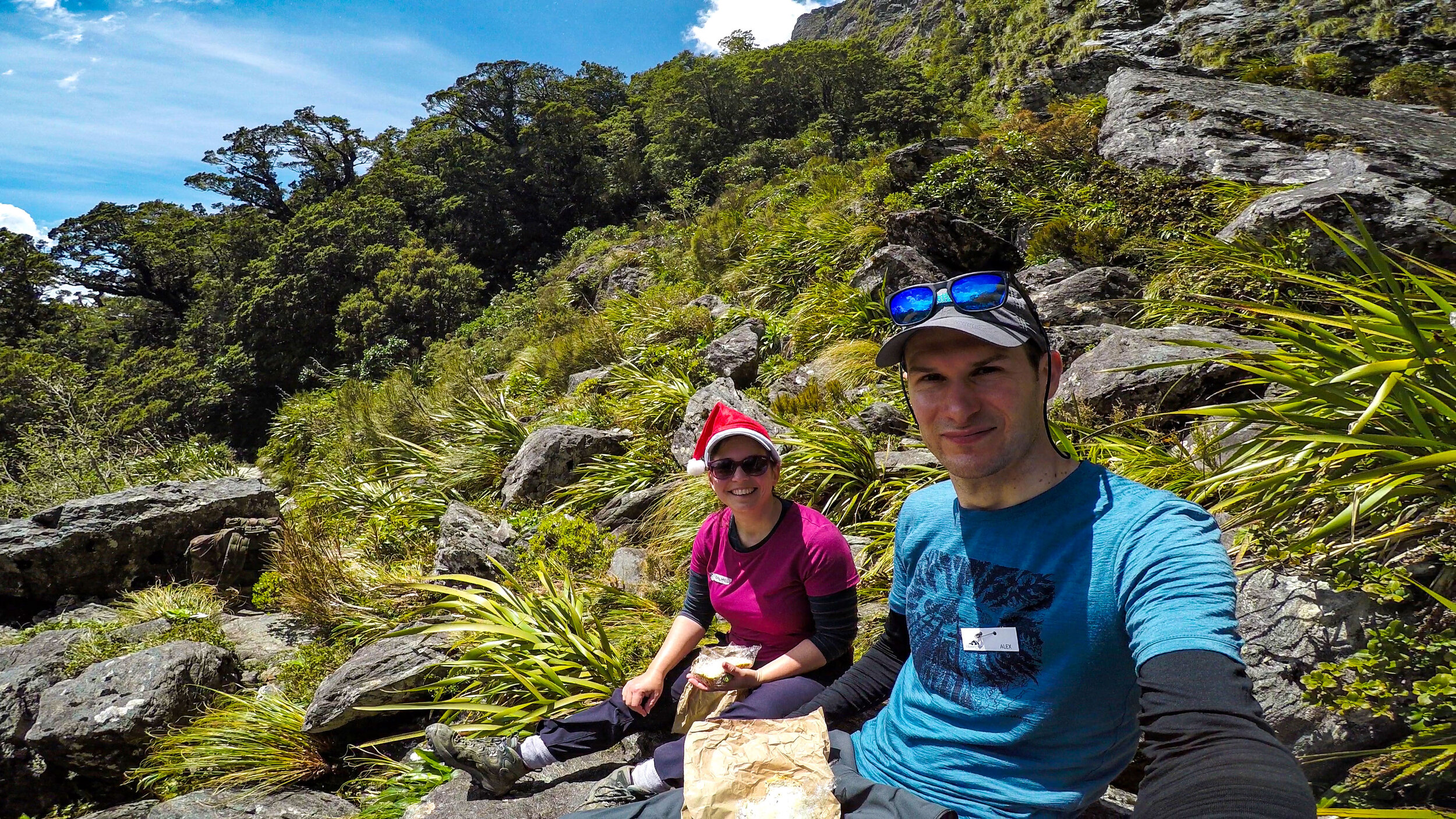
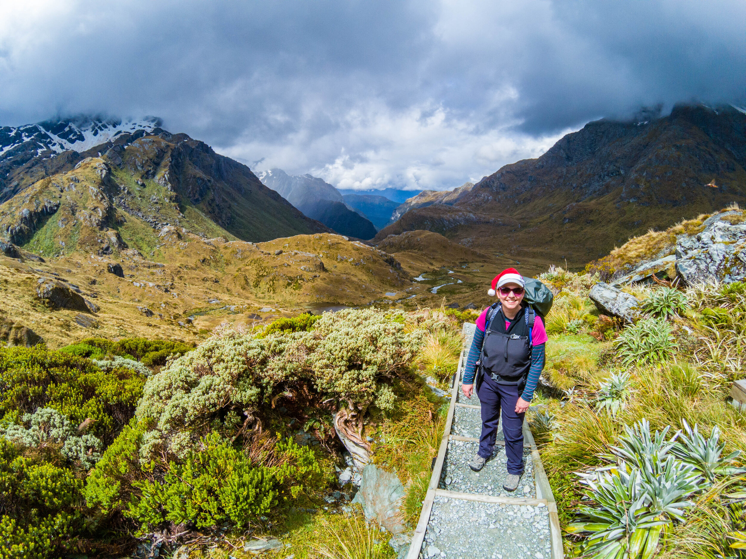
Earland Falls - snack break
       
     
Earland Falls - snack break

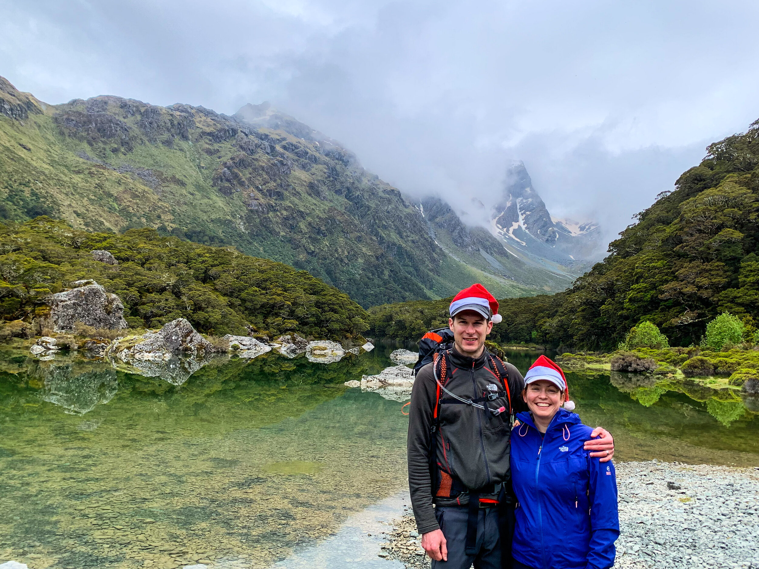
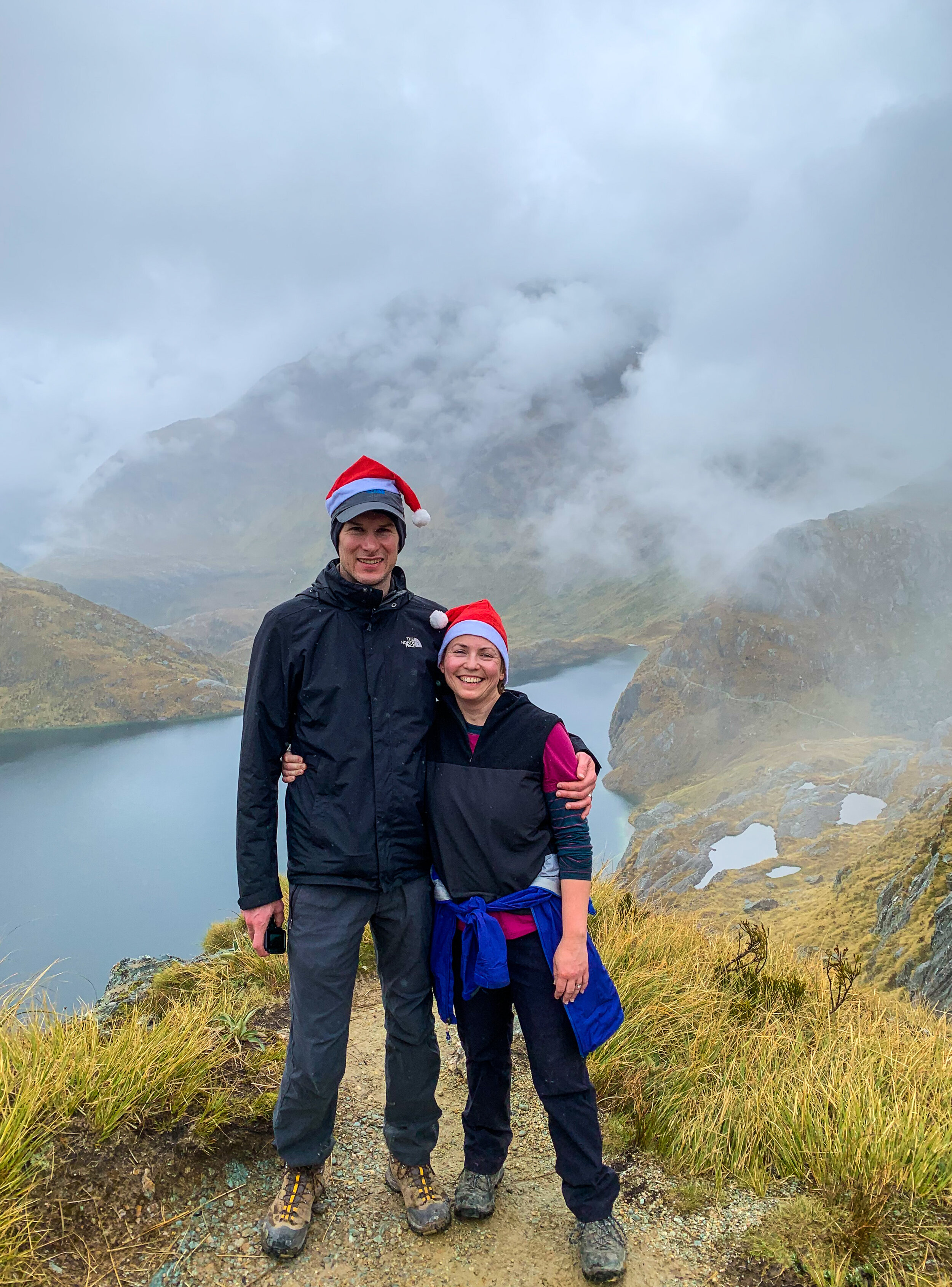
Rachel got her Christmas hat out today.

Snow capped peaks of the Darran Mountains
       
     
Snow capped peaks of the Darran Mountains
The Orchard
       
     
The Orchard

This clearing is known as The Orchard. Another brief stop here before the final push to Mackenzie.

The Orchard
       
     
The Orchard
Steep and uneven descent to Mackenzie
       
     
Steep and uneven descent to Mackenzie
Beech forest
       
     
Beech forest
First sight of Mackenzie Lodge
       
     
First sight of Mackenzie Lodge

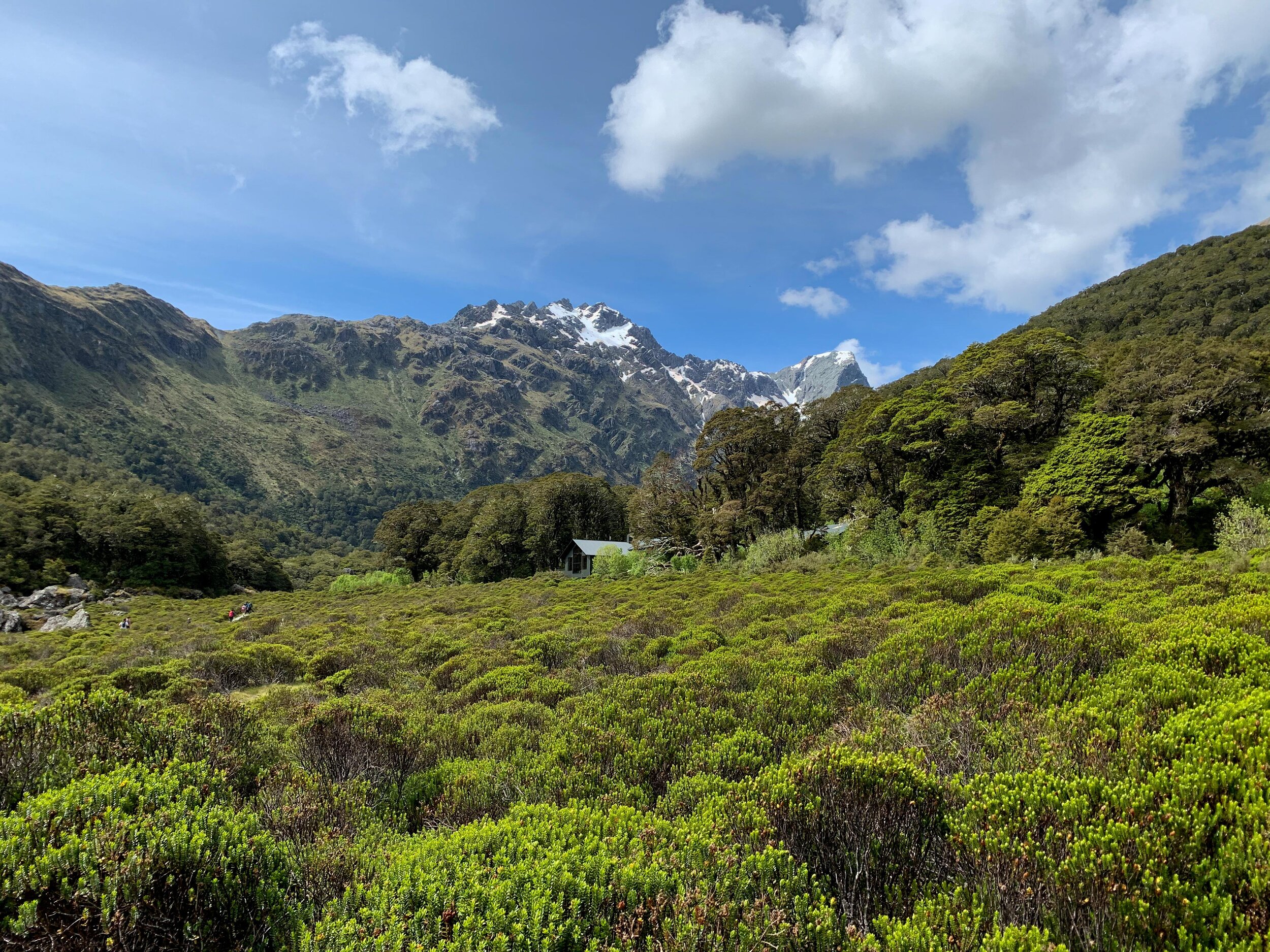
This is the guided walker’s hut, the DOC hut is a little further towards the lake. 

Mackenzie Lodge
       
     
Mackenzie Lodge
Mackenzie Lodge
       
     
Mackenzie Lodge

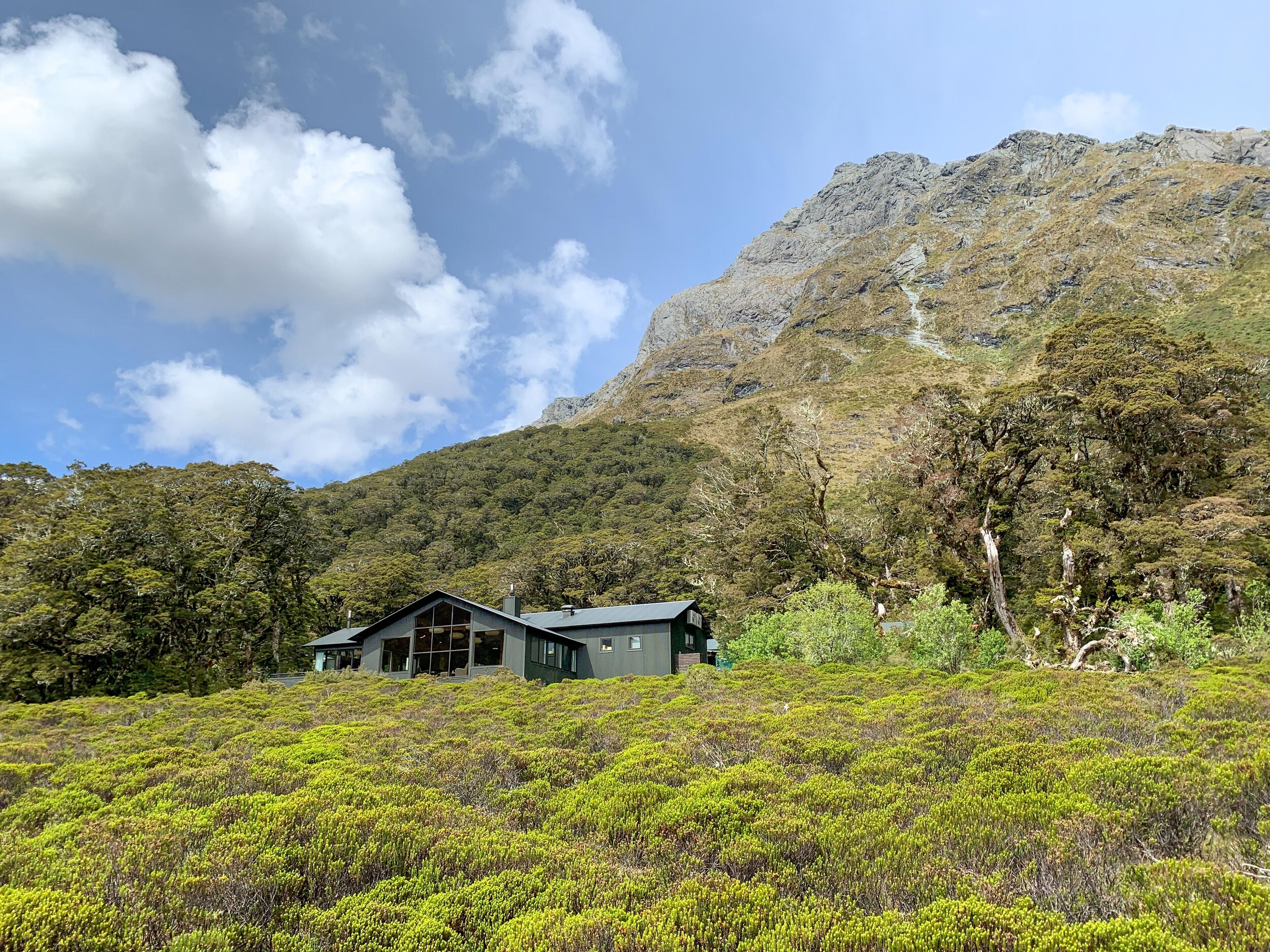
After three nights in shared bunk rooms, this was a welcome sight!

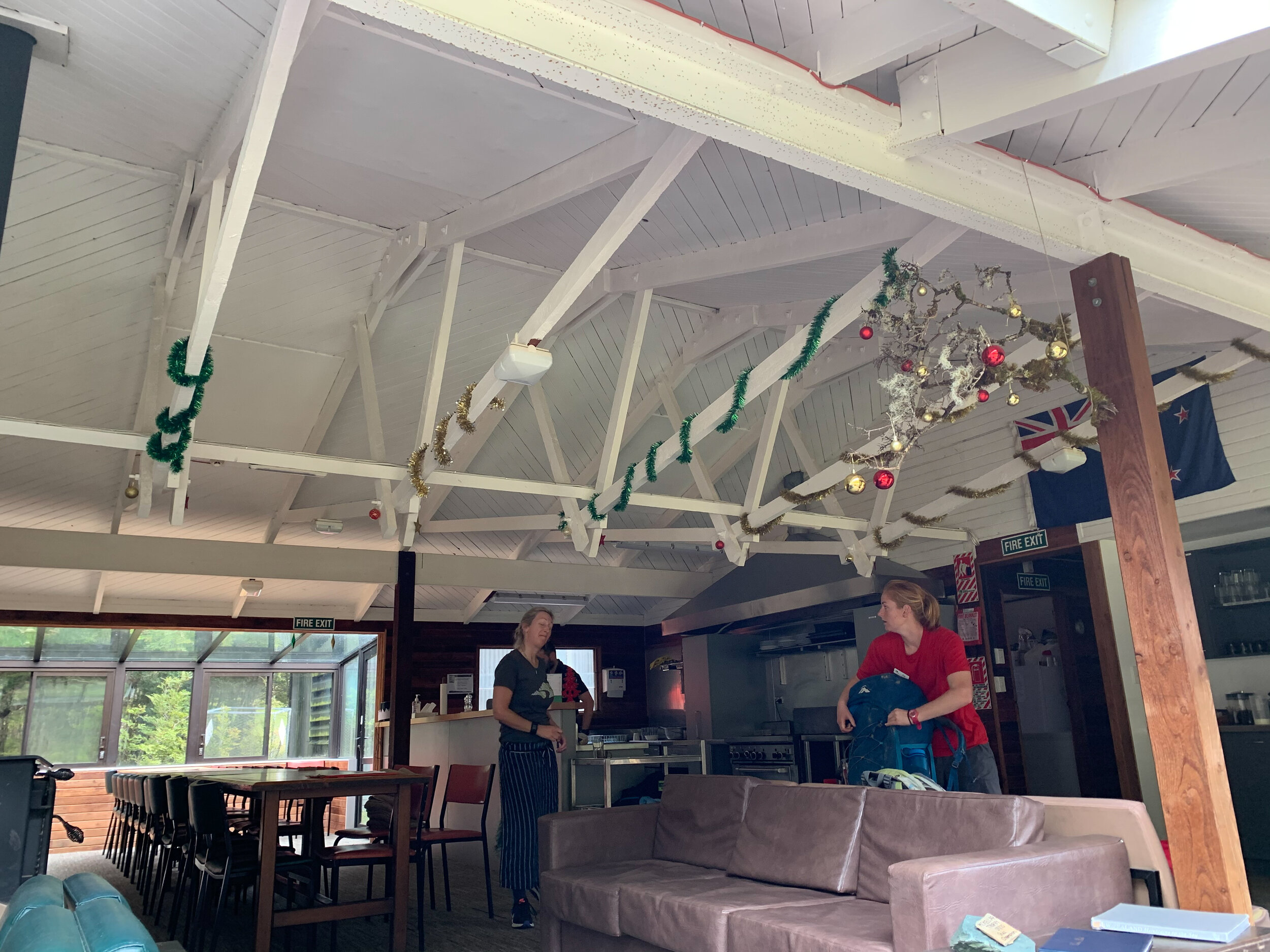
Mackenzie Lodge
       
     
Mackenzie Lodge

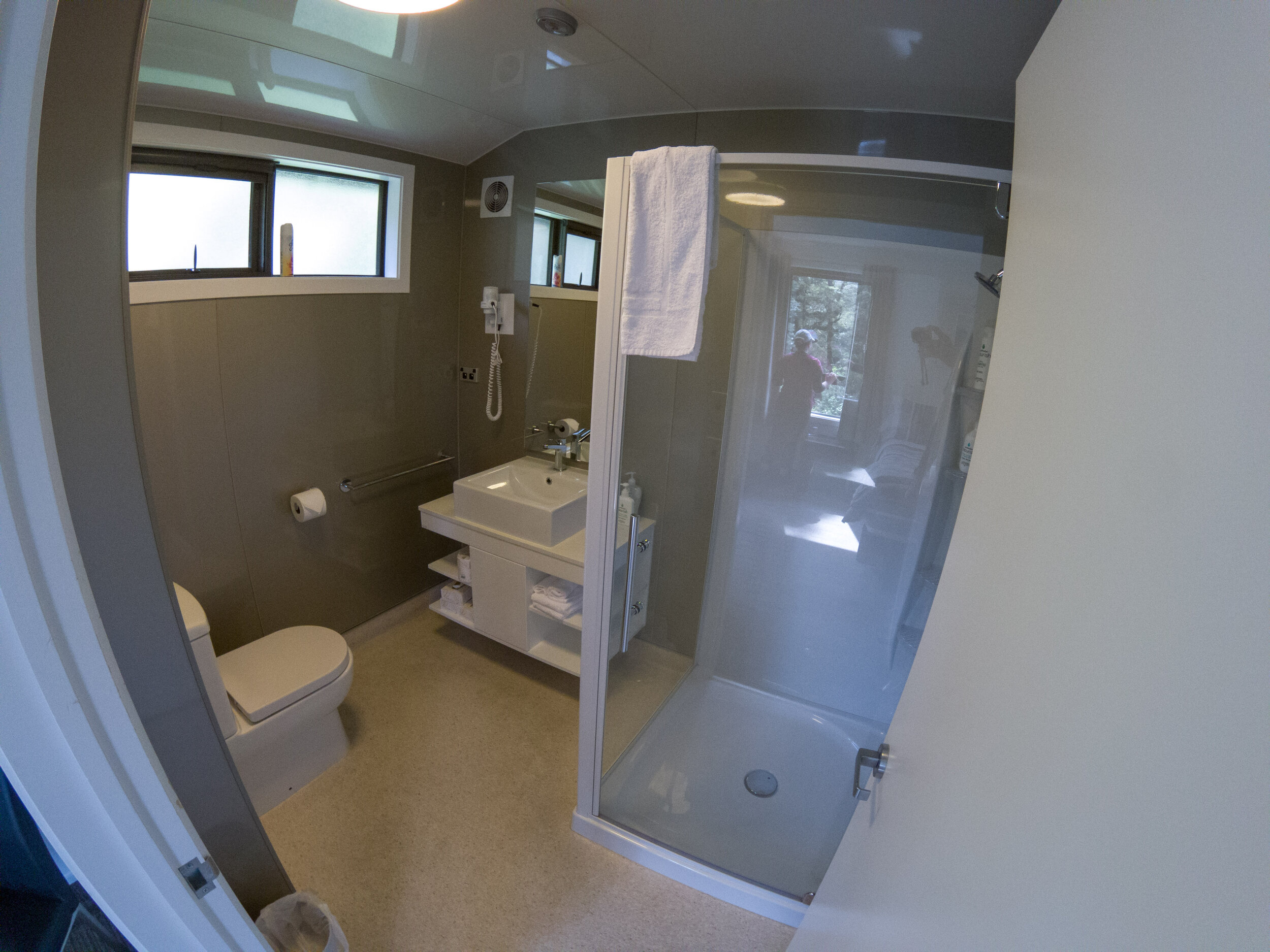
A significant step up from the facilities on the Greenstone.

Fuel
       
     
Fuel

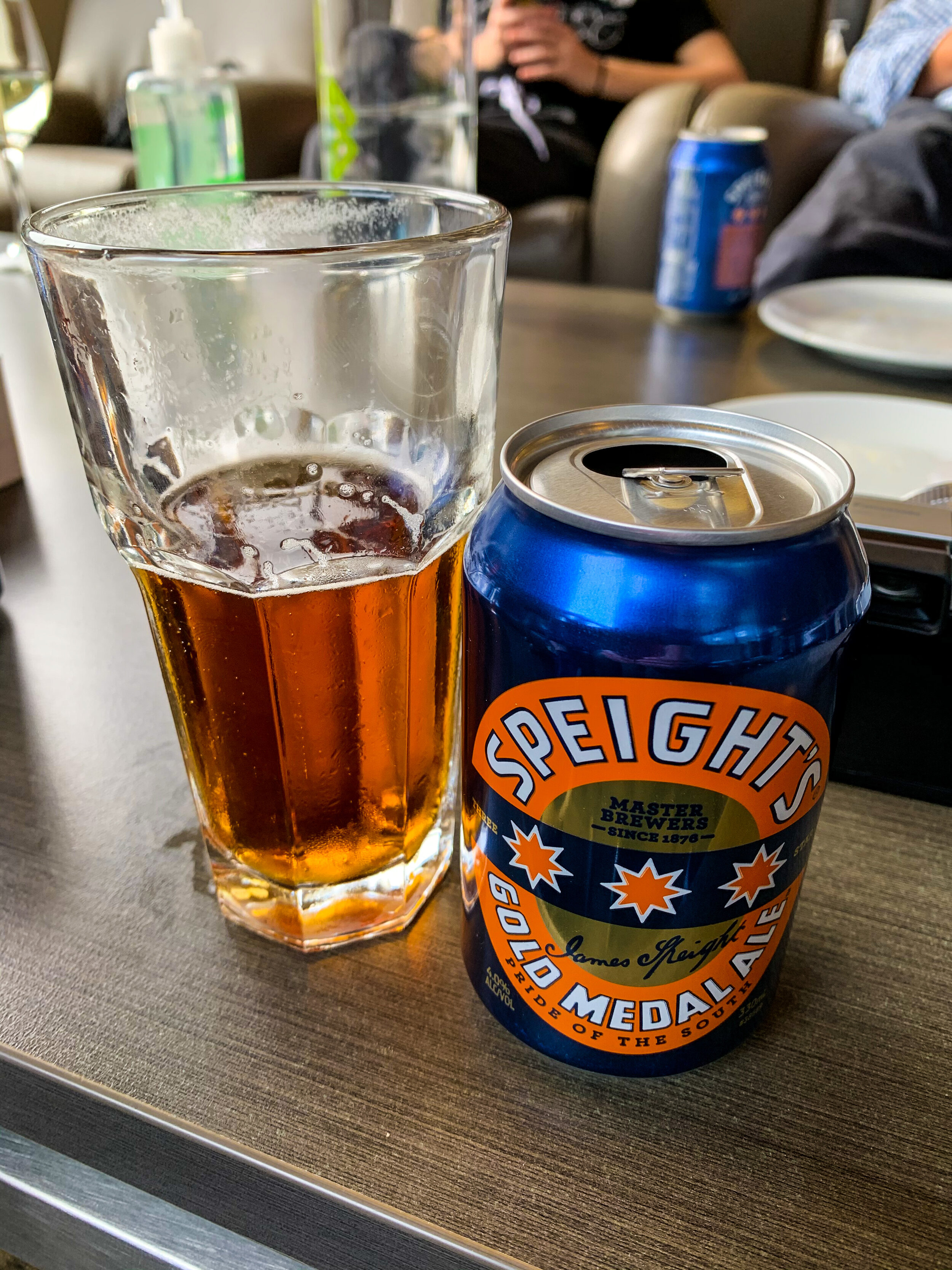
The catered guide lodges have a fully stocked bar. They even had our favourite Pinot Noir Akarua ‘Rua’.

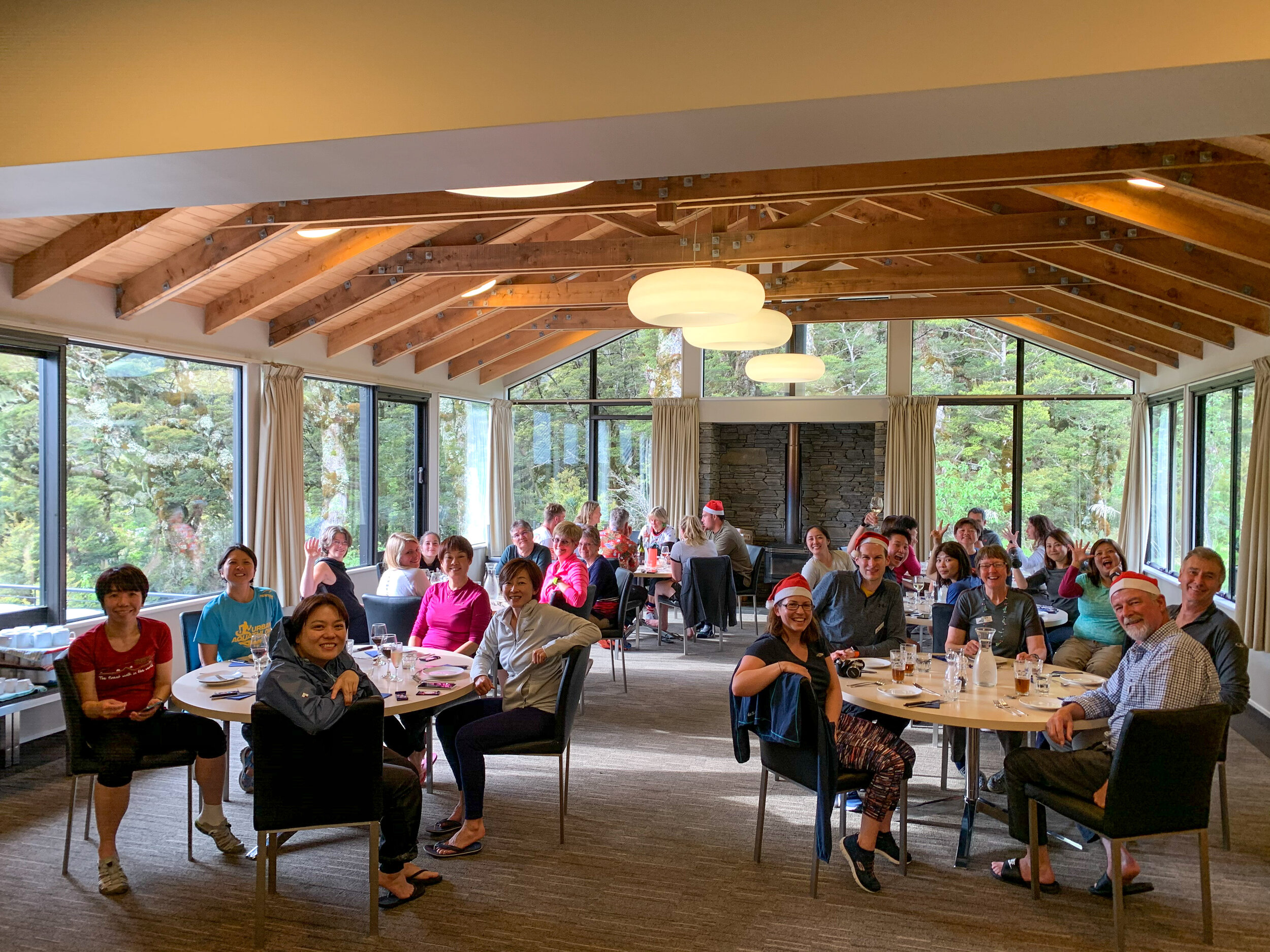
Christmas Eve meal
       
     
Christmas Eve meal
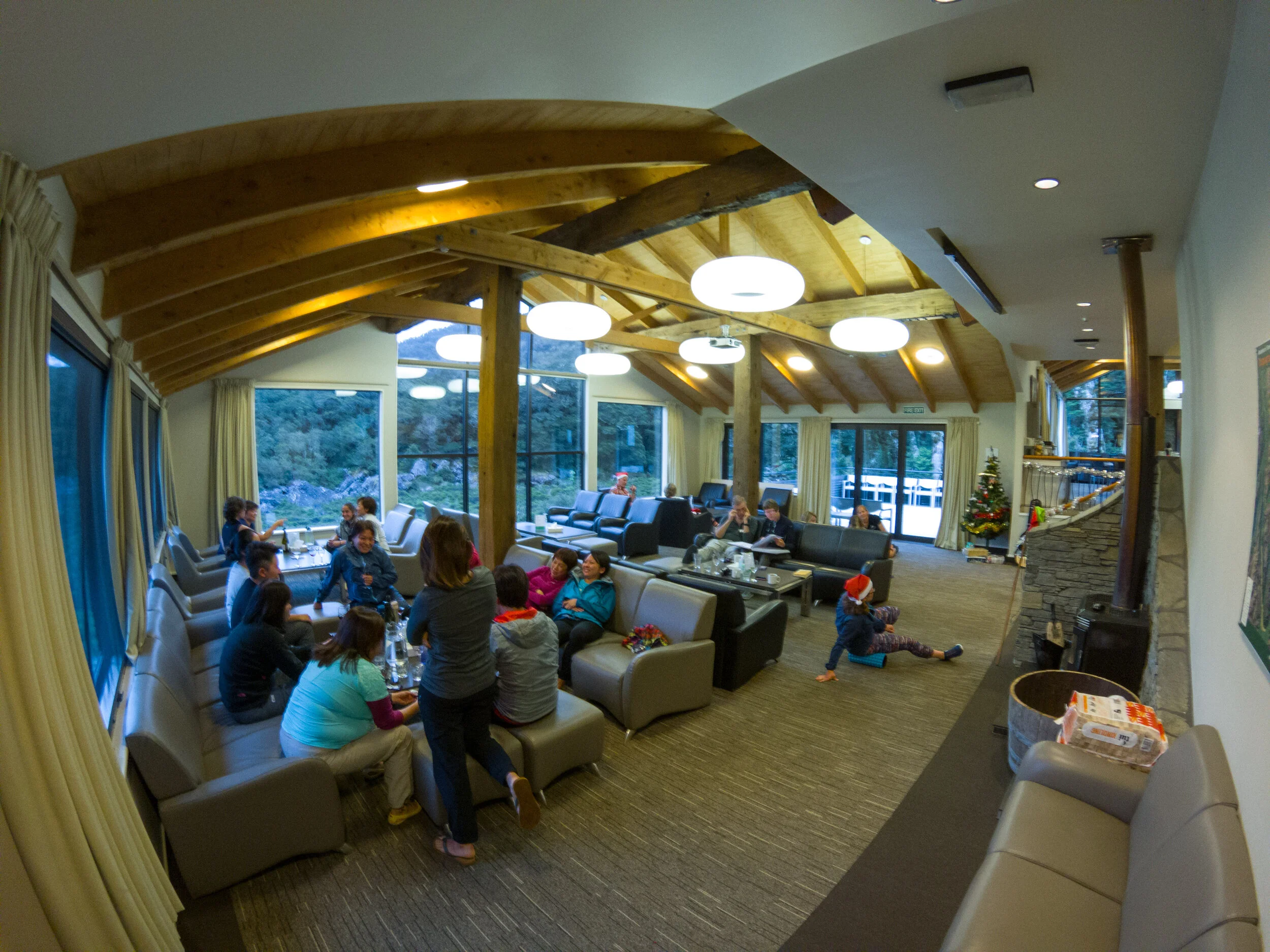
Main social space
       
     
Main social space
Mackenzie Lodge
       
     
Mackenzie Lodge

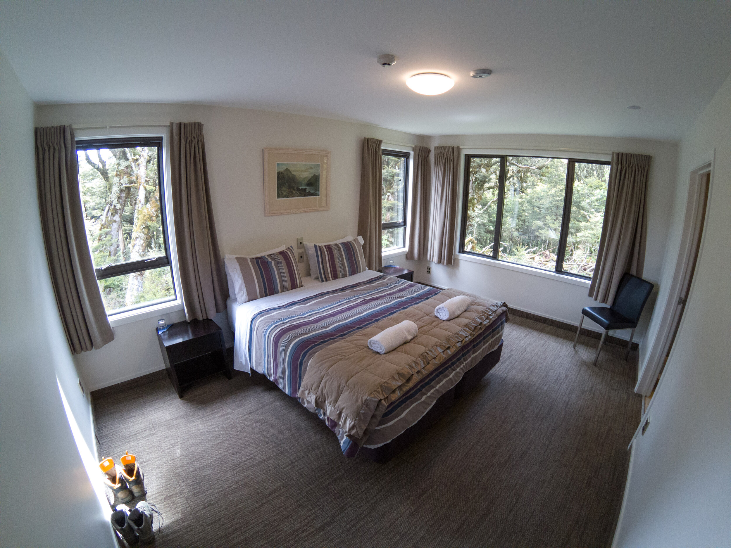
The double rooms and bunk room were spread out around the dining & social space. There were a few Kea around, pinching peoples boots if left outside, and running across the metal roofs. They even knocked on doors!

Day 5 - Christmas Day
       
     
Day 5 - Christmas Day

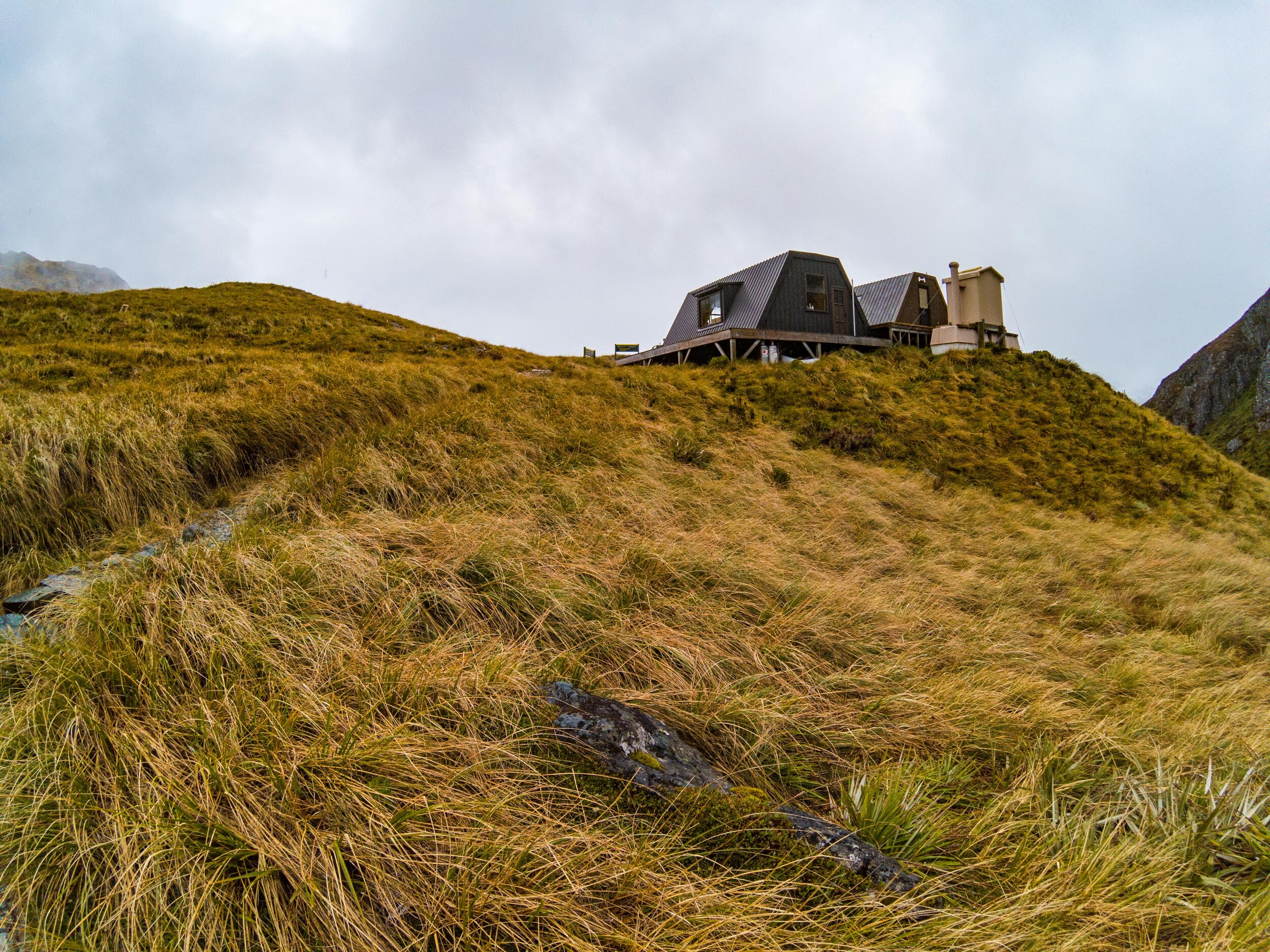
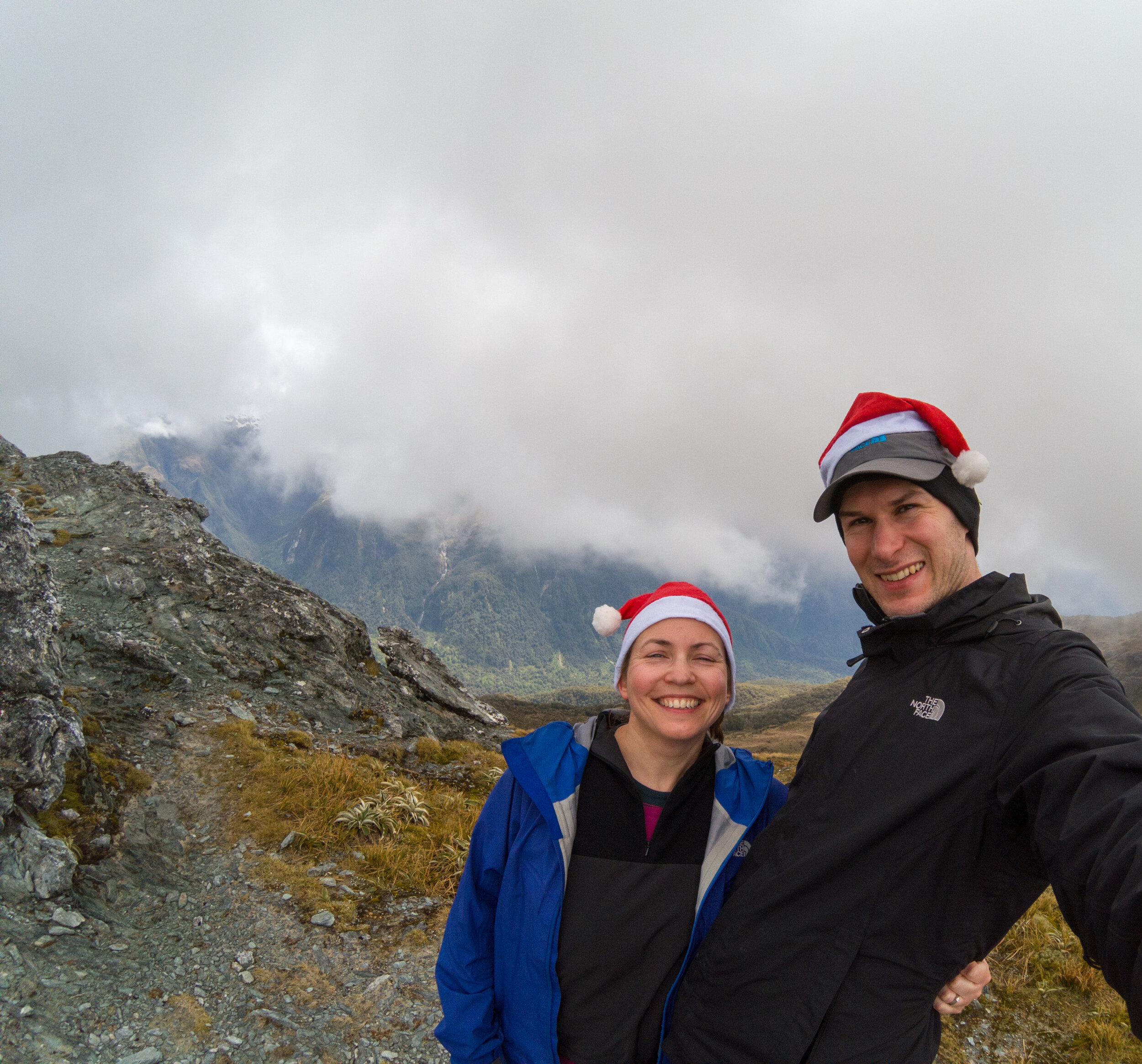
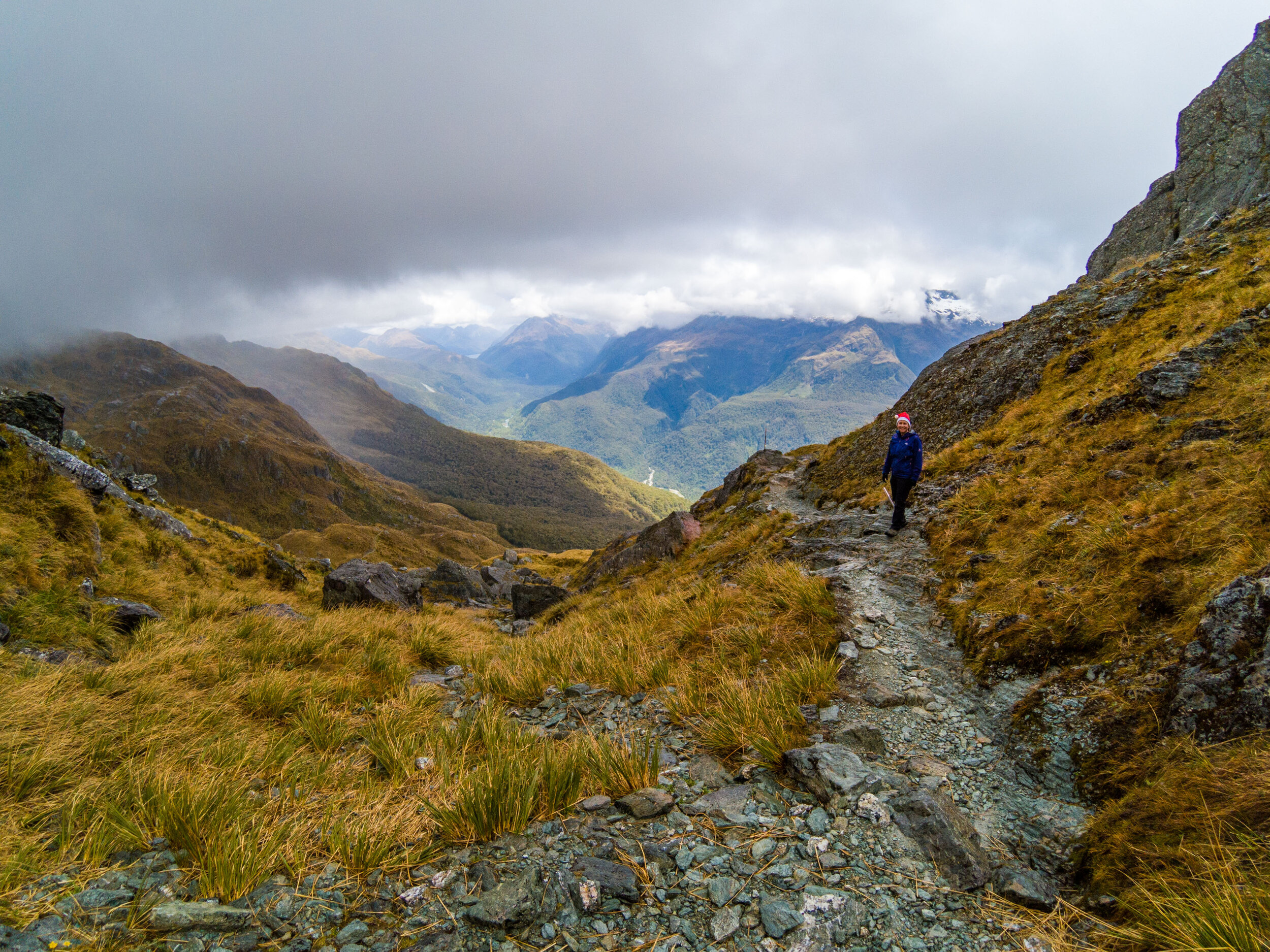
Harris Saddle was our first target with the hope of an offshoot up to Conical Hill.

Christmas Day by Lake Mackenzie
       
     
Christmas Day by Lake Mackenzie
       
     
Christmas Day by Lake Mackenzie

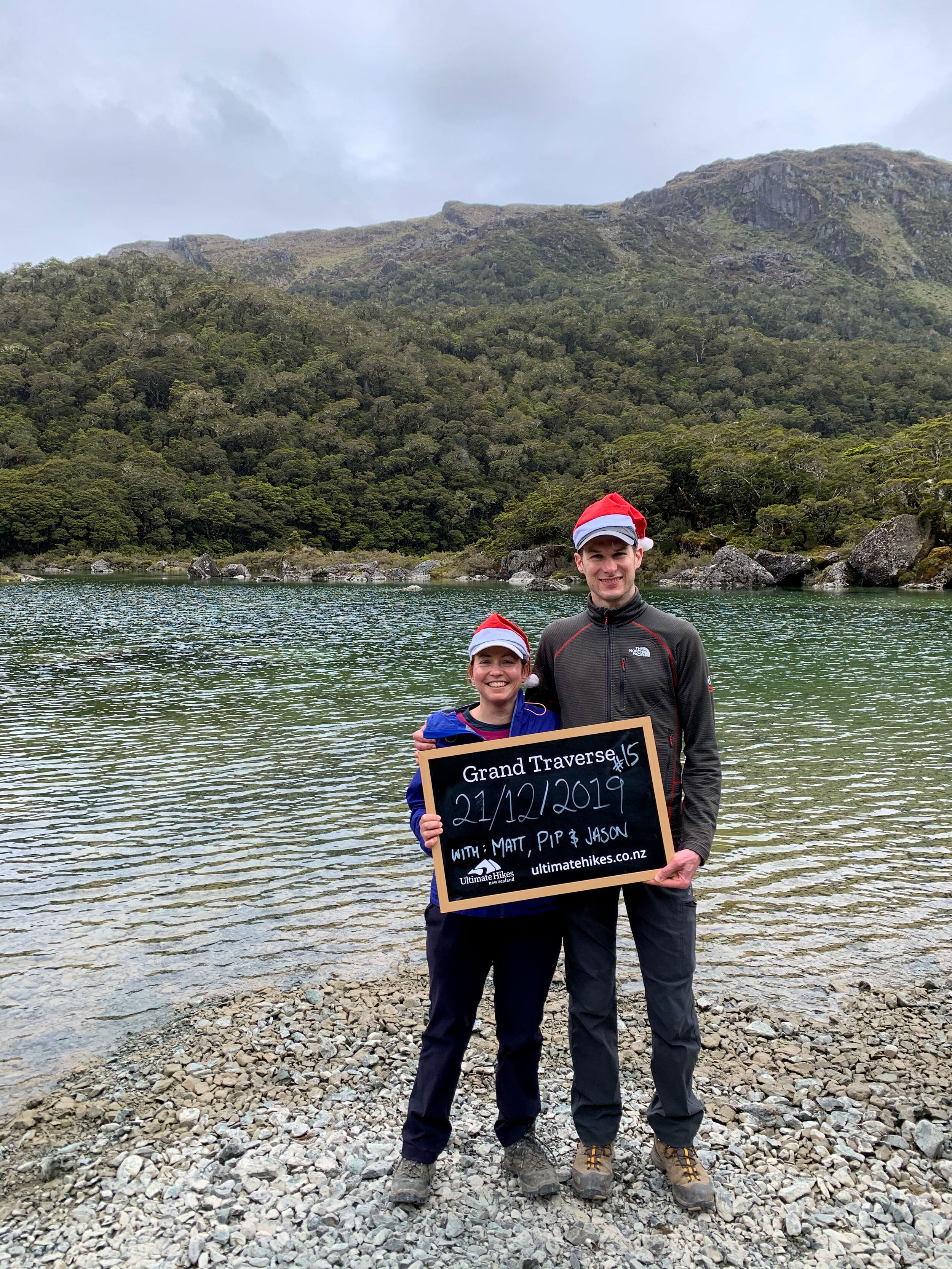
21st Dec was our start date. 

Climbing up, looking back on Mackenzie
       
     
Climbing up, looking back on Mackenzie

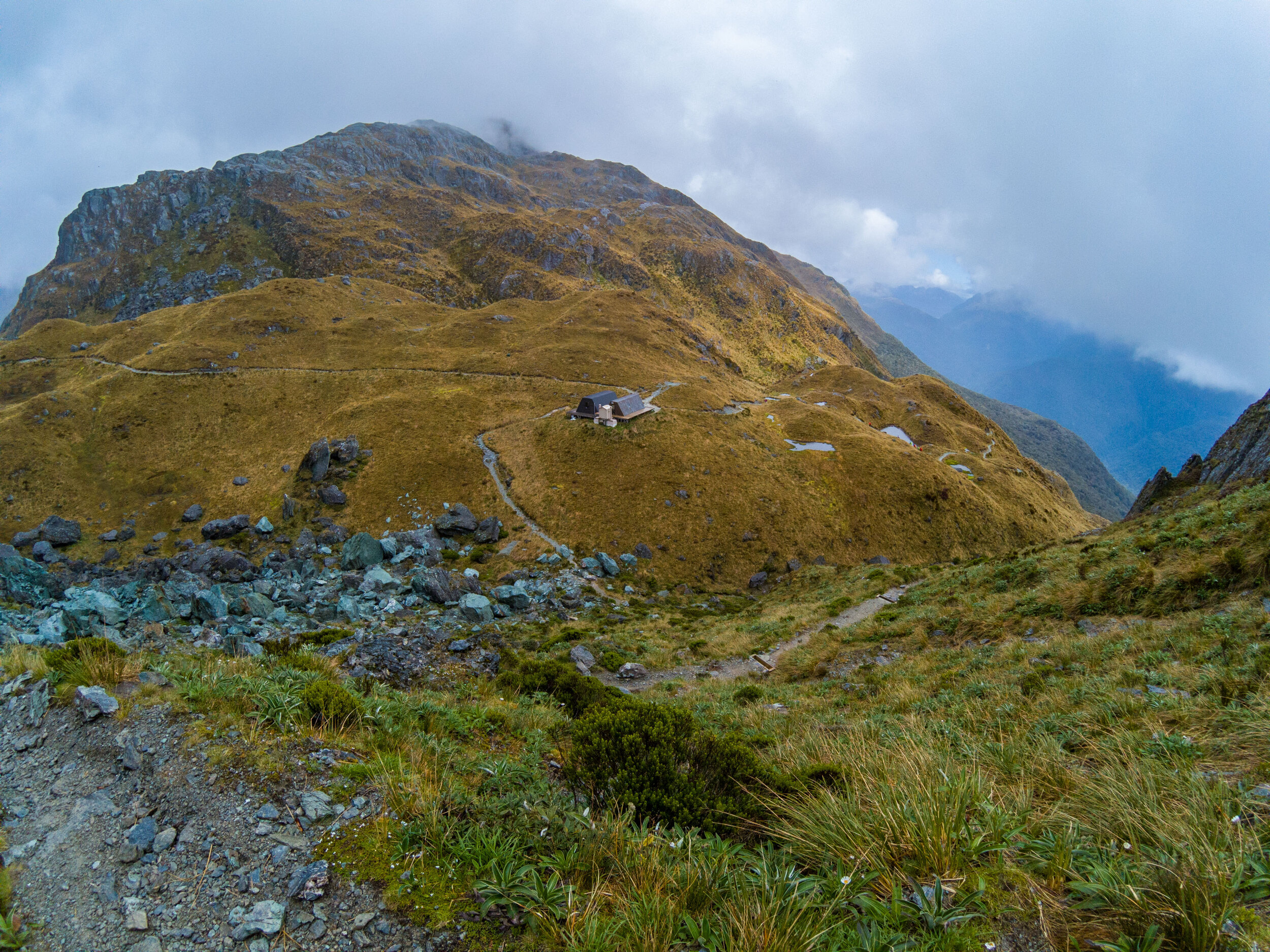
The DOC Hut and our lodge are just visible to the top right of the lake

Mackenzie lodges
       
     
Mackenzie lodges

DOC on the left, Ultimate Hikes on the right

Lake Mackenzie
       
     
Lake Mackenzie
Grand Traverse 2-14.jpg
       
     
Ocean View Corner
       
     
Ocean View Corner

Key Summit on the left and the Hollyford Valley on the right. On a clear day you can see all the way to Martin’s Bay where we completed the Hollyford Track in 2018, leaving by helicopter. 

Ocean View Corner
       
     
Ocean View Corner
Traversing the mountains
       
     
Traversing the mountains
The Hollyford Valley
       
     
The Hollyford Valley

Views back to a Key Summit. Bottom right is a small settlement Gunn’s Camp, the final stop on the way to the start of the Hollyford Track. 

Harris Shelter
       
     
Harris Shelter

Again, one for independent DOC walkers and one for guided groups. We had a flush toilet, they had the long drop. 

Harris Saddle from Conical Hill
       
     
Harris Saddle from Conical Hill

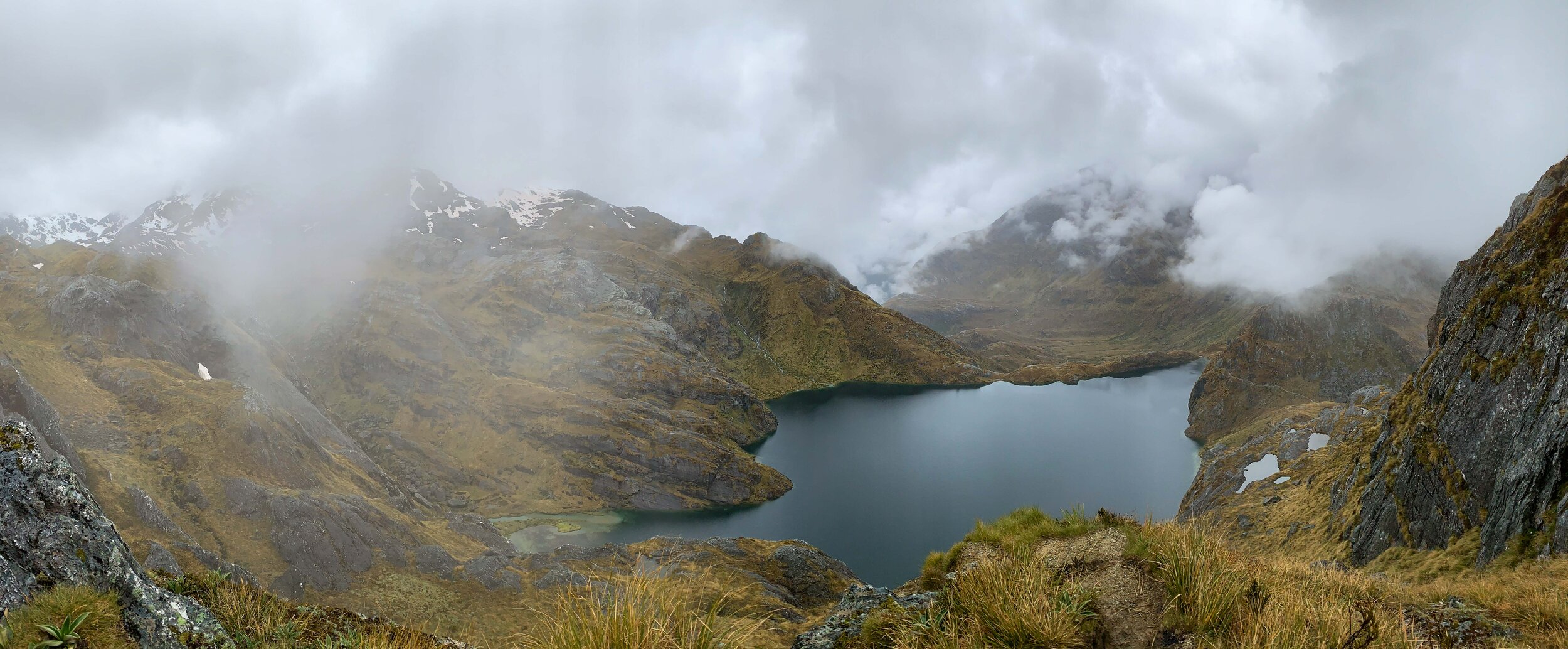
Light rain as we reached the shelter for lunch. Our route continued to the left. About 10 of us decided to head up to Conical Hill. 

Overlooking Lake Harris
       
     
Overlooking Lake Harris
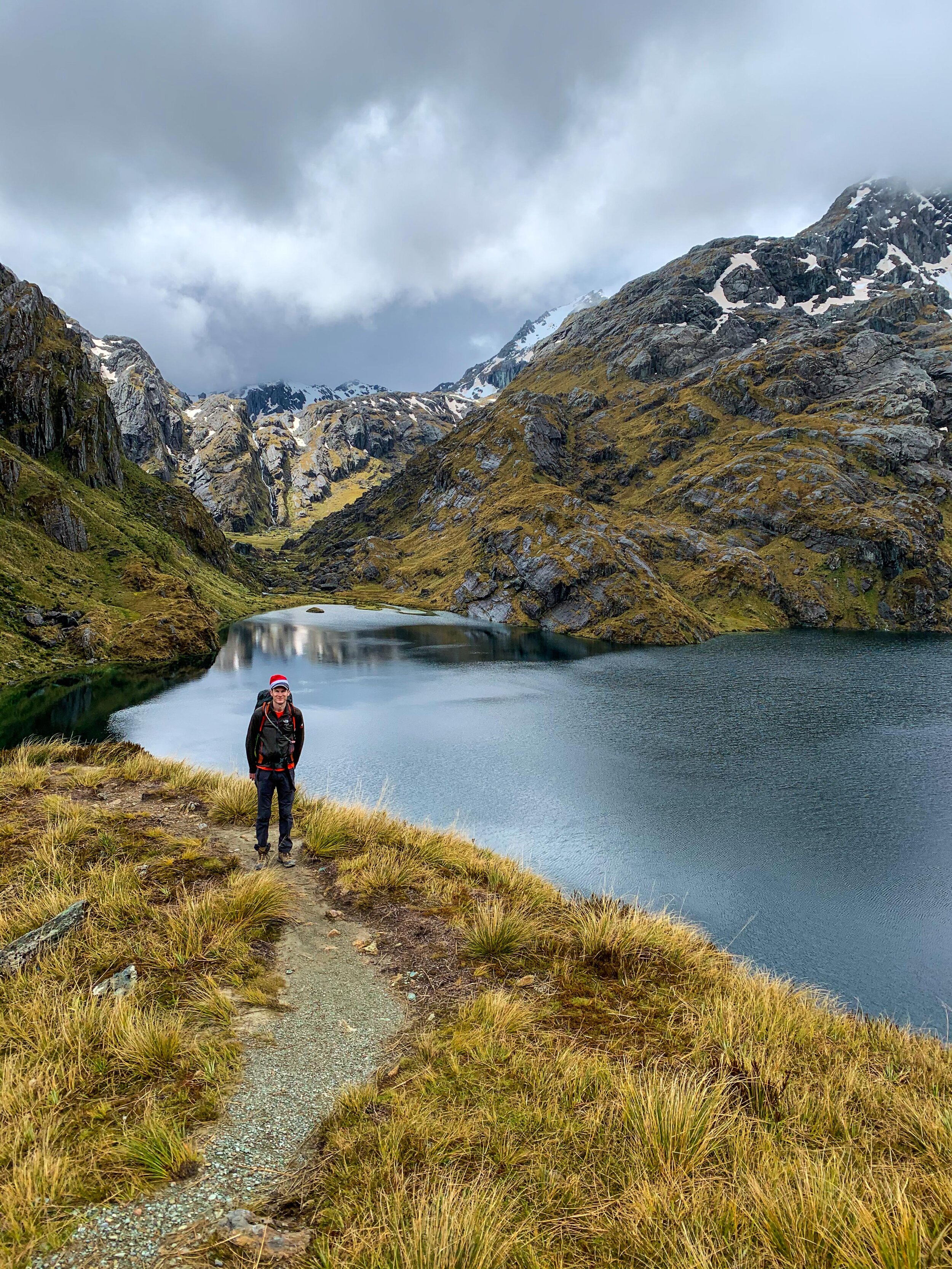
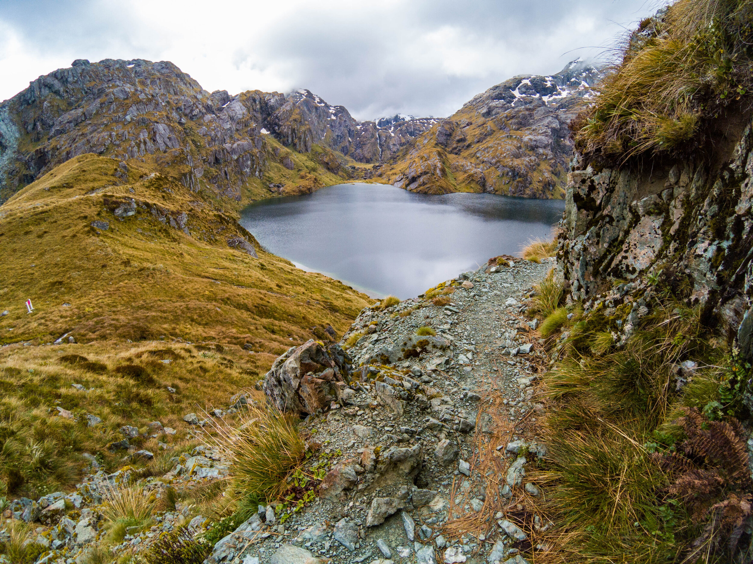
Lake Harris
       
     
Lake Harris
Conical Hill
       
     
Conical Hill

We got occasional gaps in the cloud, looking down to the valley below. We did catch a glimpse of the ocean at Martin’s Bay. 

Top of Conical Hill
       
     
Top of Conical Hill

Rose helped us recreate the photo from 2007 that hangs on our dining room wall.

Heading to Routeburn Falls
       
     
Heading to Routeburn Falls
Lake Harris
       
     
Lake Harris
Lake Harris
       
     
Lake Harris

This is a proper ‘Middle Earth’ photo

Lake Harris
       
     
Lake Harris
Lake Harris
       
     
Lake Harris
Christmas Day afternoon
       
     
Christmas Day afternoon

Having climbed Conical Hill, we were some of the last to set off.  All downhill, with no time pressure, this was a magical time to stop and enjoy the scenery.

Approaching Routeburn Falls
       
     
Approaching Routeburn Falls
Routeburn Falls
       
     
Routeburn Falls

Routeburn Falls guided walkers lodge
       
     
Routeburn Falls guided walkers lodge
Day 6 - breakfast
       
     
Day 6 - breakfast
Final day
       
     
Final day
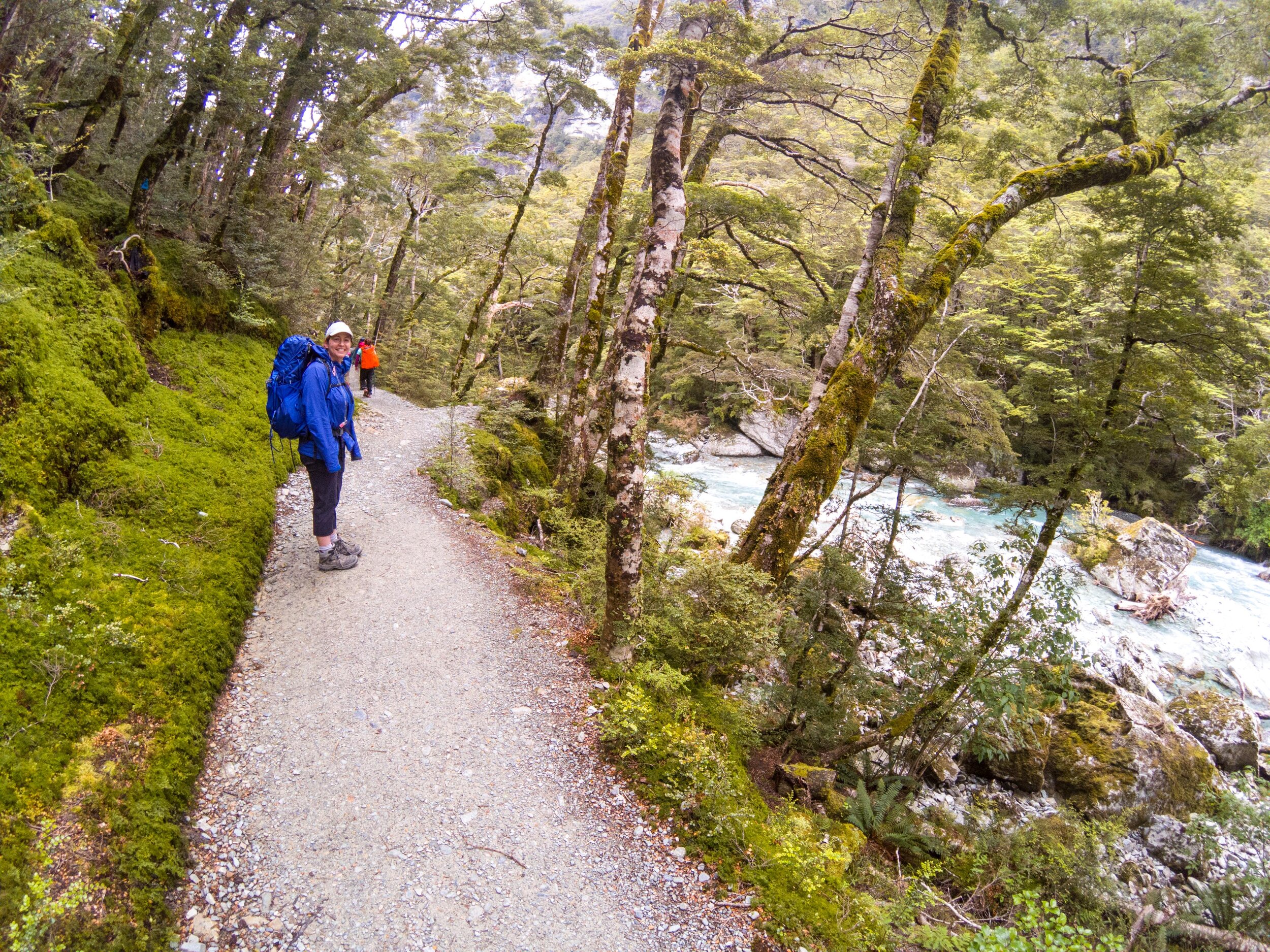
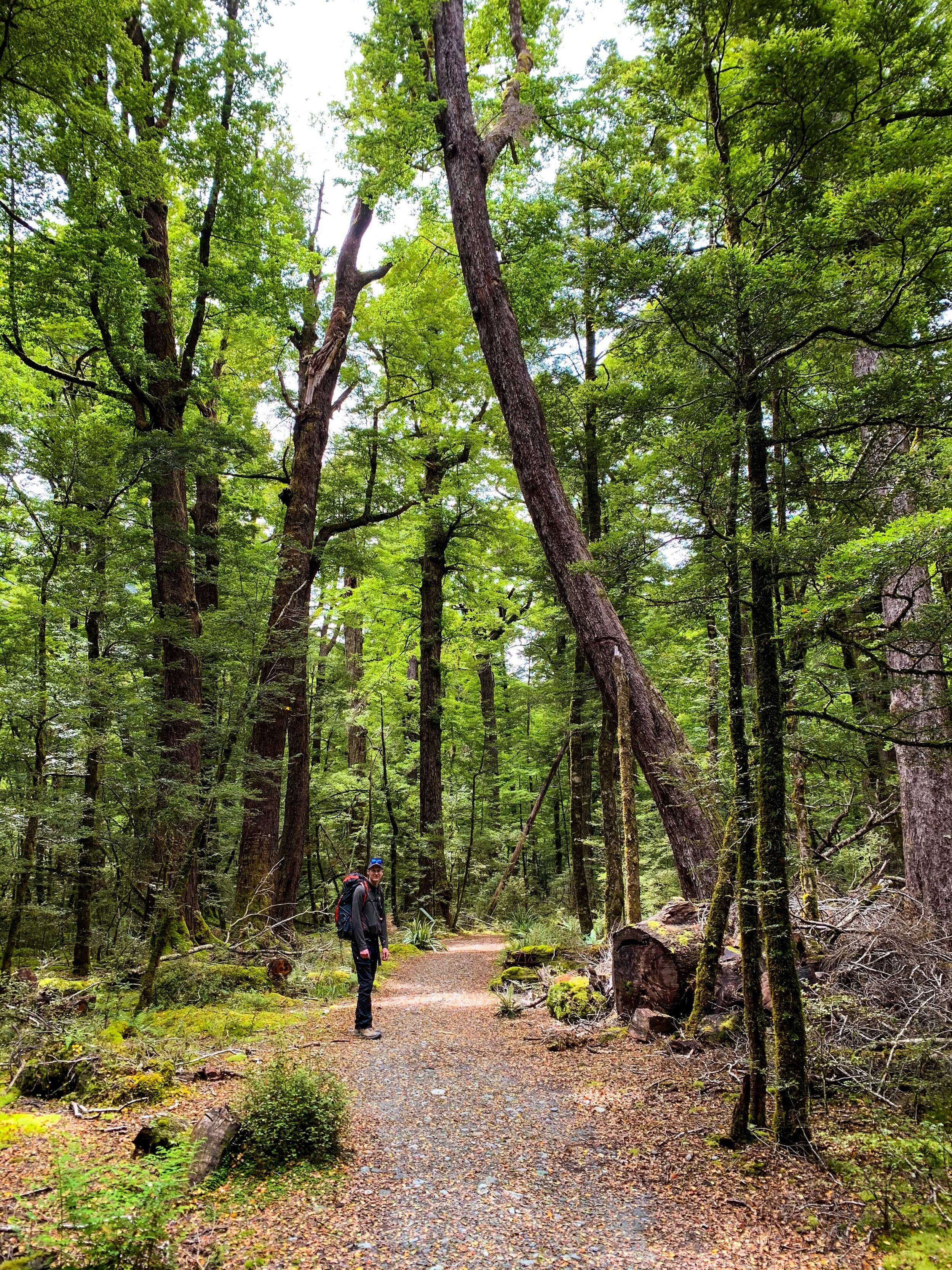
Downhill through the forest
       
     
Downhill through the forest
Routeburn Flats
       
     
Routeburn Flats
Routeburn Flats Hut
       
     
Routeburn Flats Hut

DOC hut - we didn’t stay here, just a pit stop

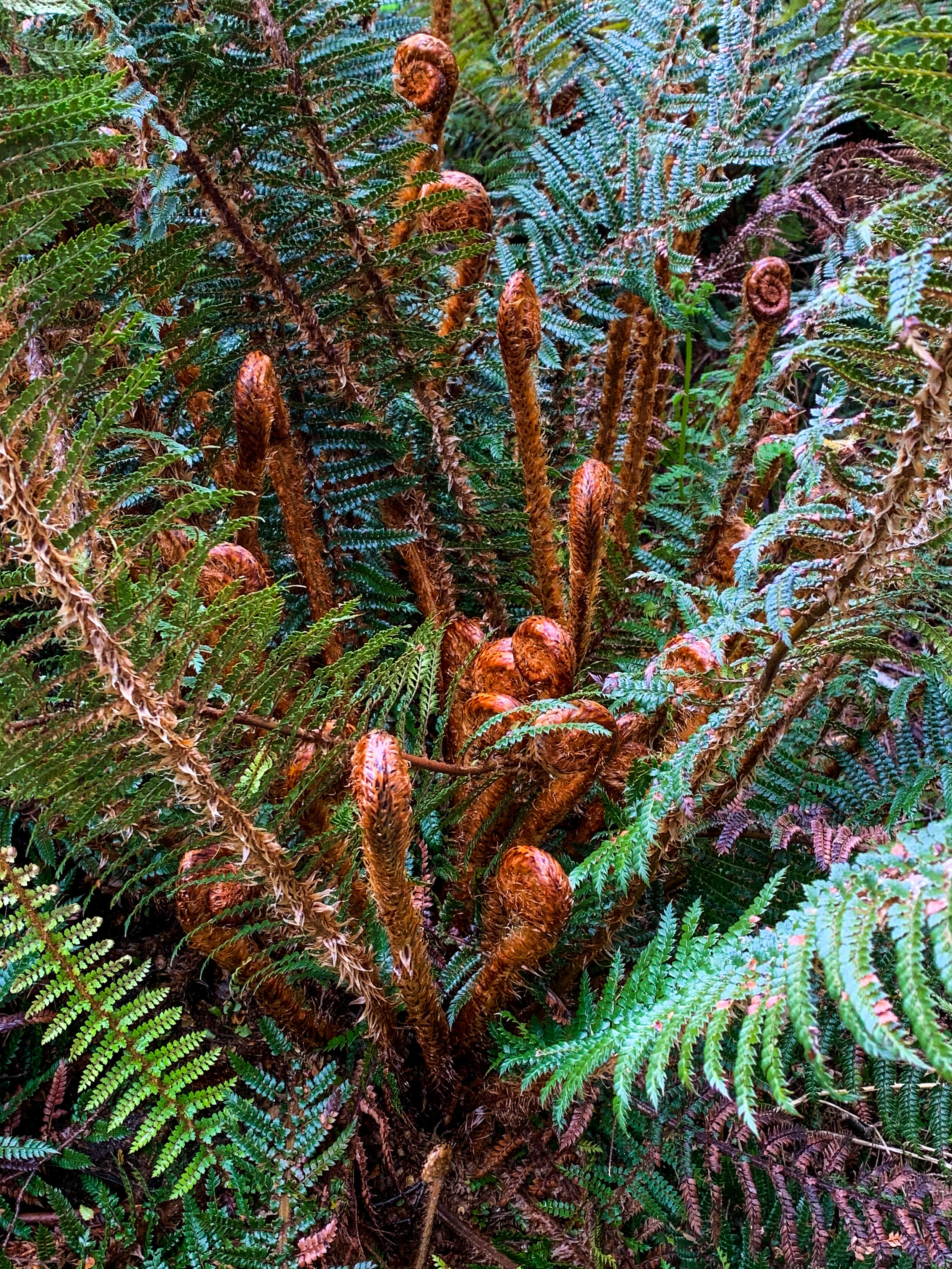
NZ is famous for its many fern species
       
     
NZ is famous for its many fern species
Now following the crystal blue river
       
     
Now following the crystal blue river
The Routeburn River
       
     
The Routeburn River
The Routeburn River
       
     
The Routeburn River
Lunch stop
       
     
Lunch stop
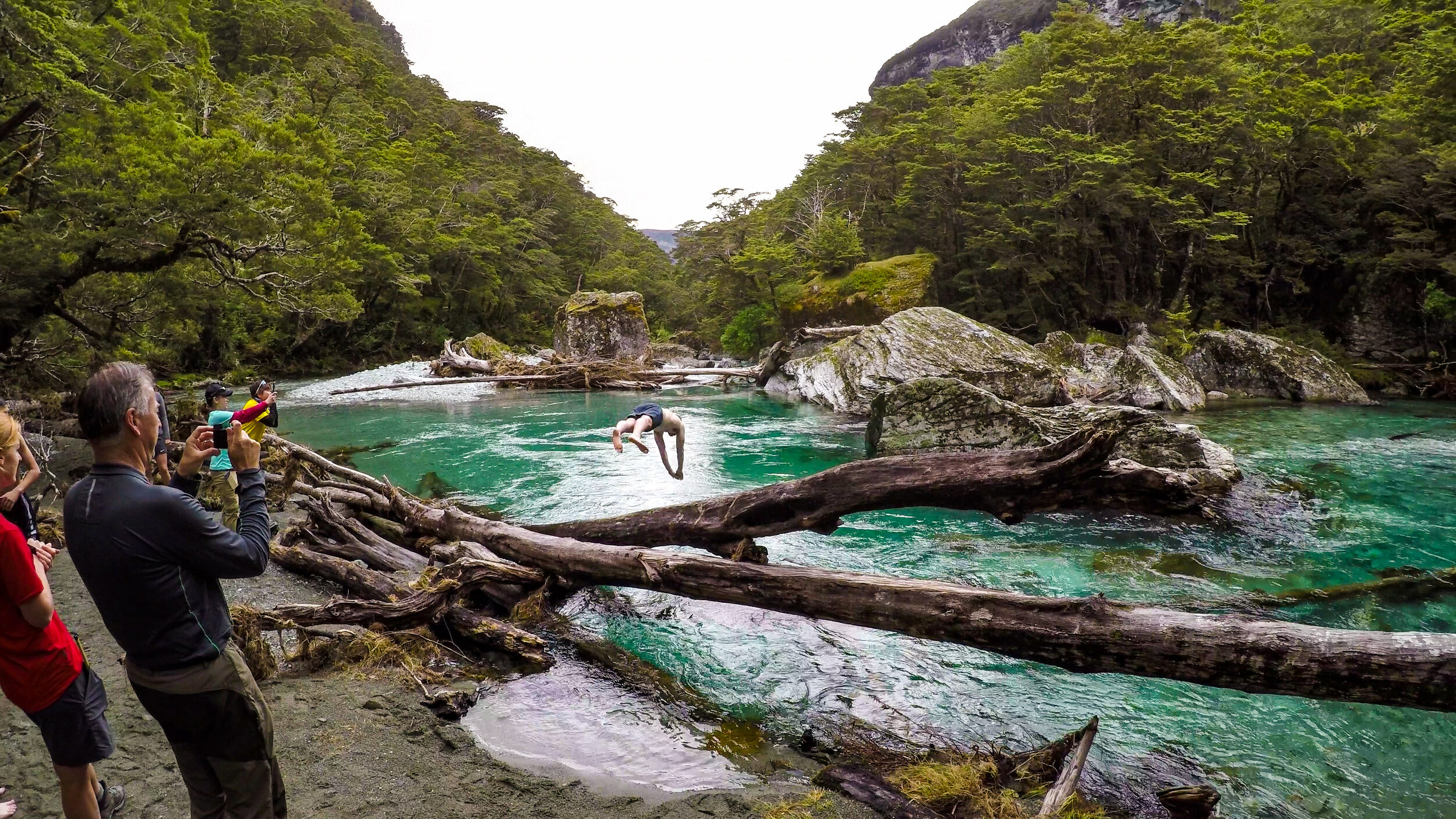
Matt takes a dip
       
     
Matt takes a dip

Yes, it was freezing 

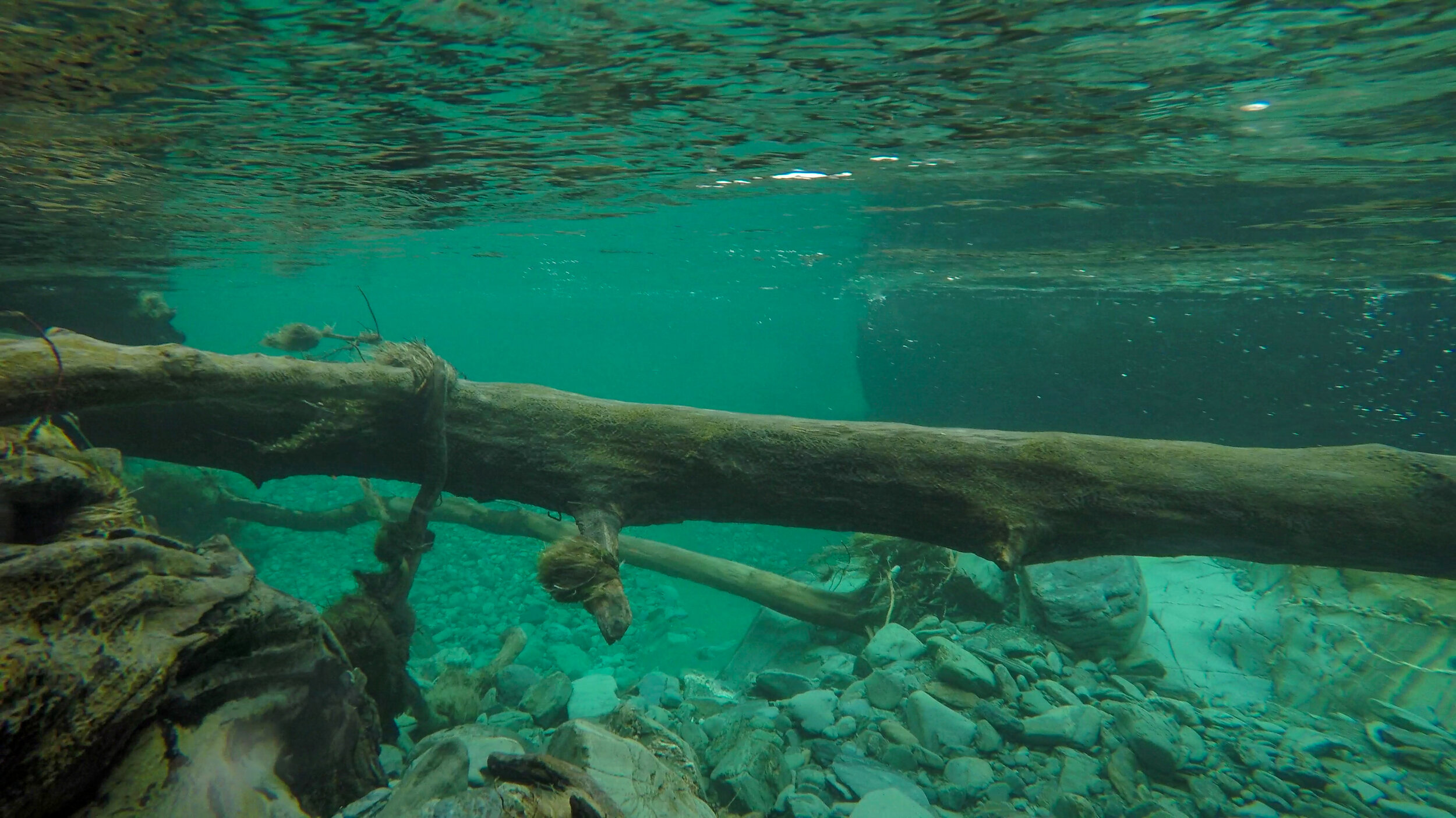
Clear glacial waters
       
     
Clear glacial waters
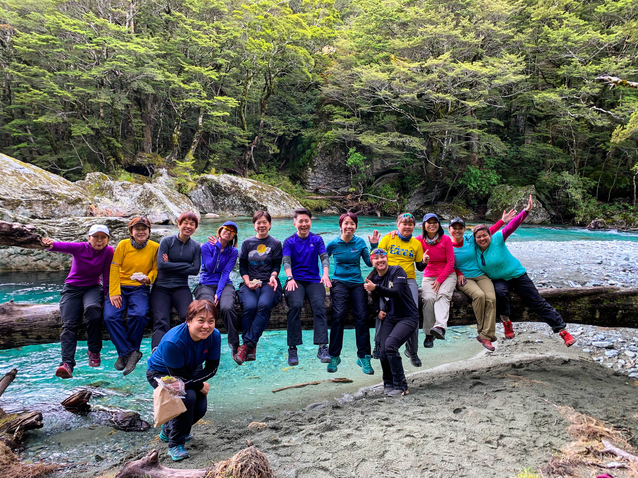
Our Singaporean friends
       
     
Our Singaporean friends
Final push
       
     
Final push
Group doing canyoning below
       
     
Group doing canyoning below

One of the many adventure trips run out of Queenstown 

Nature walk
       
     
Nature walk

For those who come for the day, this loop of nature walk is accessible from the road end. 

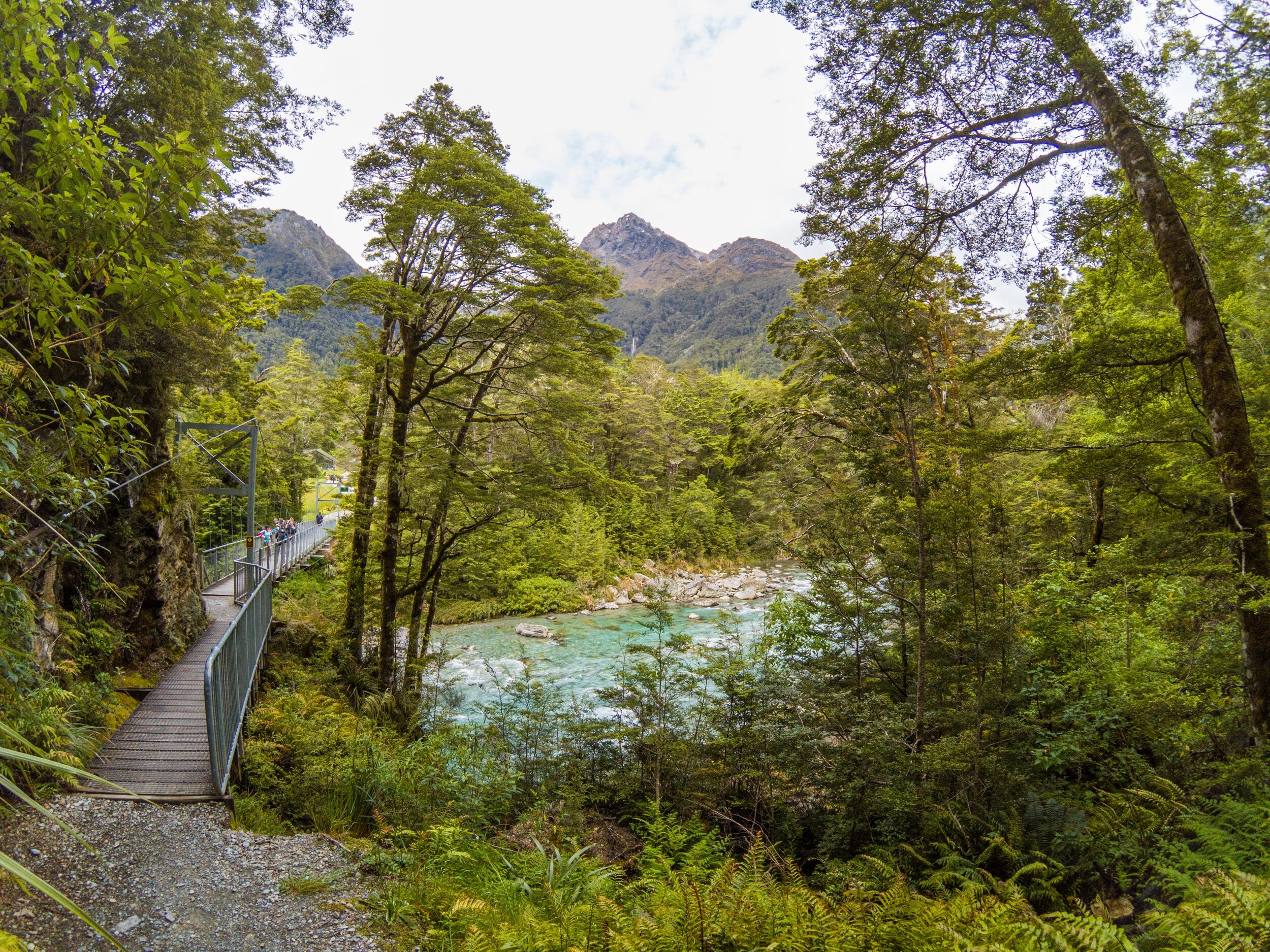
The final bridge
       
     
The final bridge
The final bridge
       
     
The final bridge
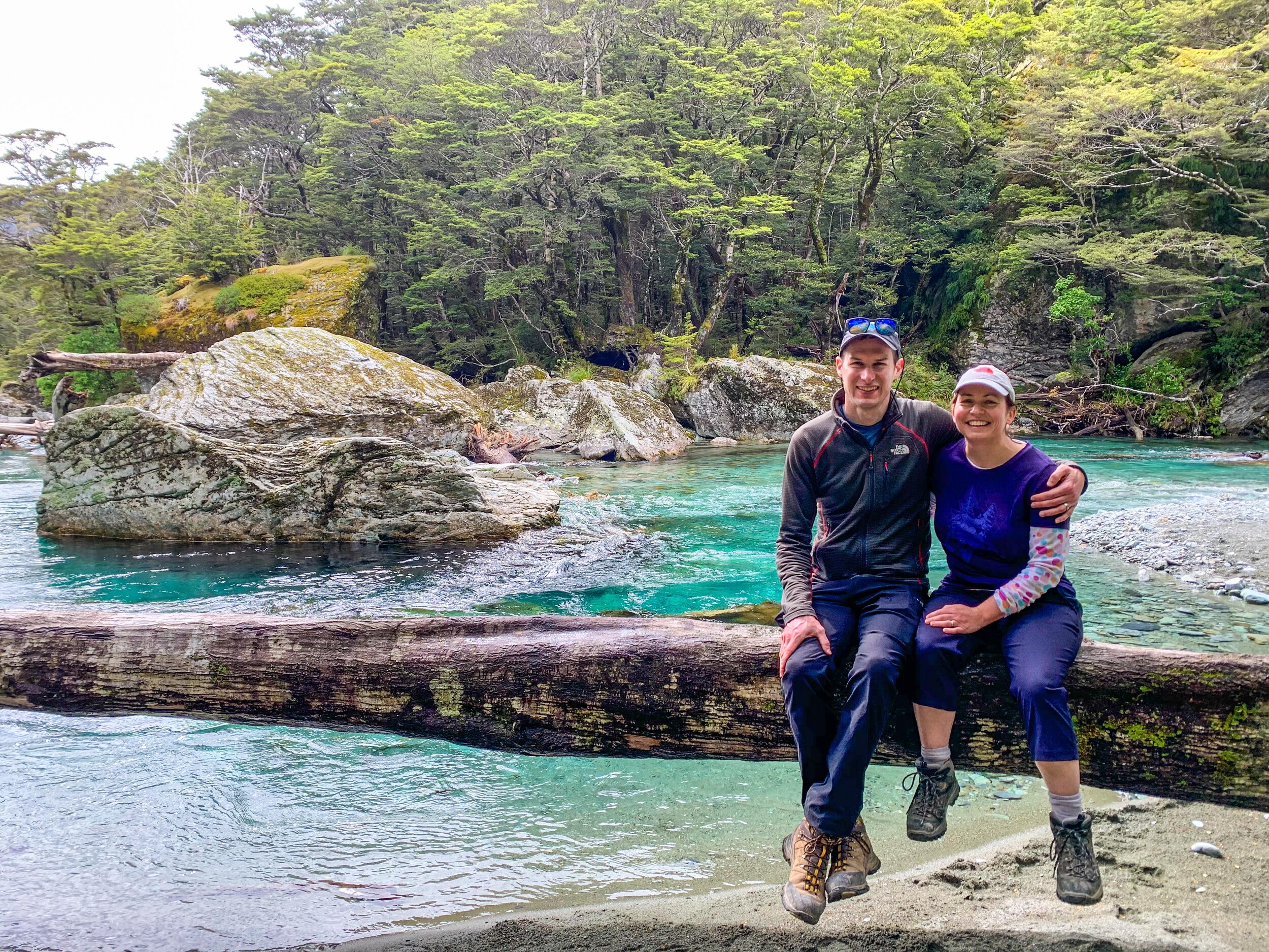
Grand Traverse completed!
       
     
Grand Traverse completed!
End
       
     
End